
7.3 Quake Strikes Off Chiapas Coast Friday With No Deaths
A powerful 7.3 magnitude earthquake struck 58 km west-southwest of Puerto Madero, Chiapas, at 08:48 local time on Friday, shaking homes across southern Mexico and parts of Central America. The shallow 15.2 km event triggered brief tsunami warnings and evacuations, yet swift action by federal and state authorities limited damage to just two minor injuries despite affecting an estimated 6 million people. 7.3 Quake Off Chiapas Sparks Alerts, Few Injuries Mexico City, Mexico —...
A powerful 7.3 magnitude earthquake struck 58 km west-southwest of Puerto Madero, Chiapas, at 08:48 local time on Friday, shaking homes across southern Mexico and parts of Central America. The shallow 15.2 km event triggered brief tsunami warnings and evacuations, yet swift action by federal and state authorities limited damage to just two minor injuries despite affecting an estimated 6 million people.
7.3 Quake Off Chiapas Sparks Alerts, Few Injuries
Mexico City, Mexico — The earthquake originated along the Pacific Ring of Fire, where the Cocos and North American plates converge, a zone long monitored by the Servicio Sismológico Nacional. USGS initial modeling had flagged possible significant damage because of the shallow depth, yet the outcome proved far milder than feared. President Claudia Sheinbaum, speaking from Palacio Nacional, confirmed that Protección Civil protocols activated within minutes kept casualties low across Chiapas and neighboring states. The Servicio Sismológico Nacional recorded the event at 08:48 local time on Friday, with the USGS initially rating it 7.4 before downgrading to 7.3 within two hours. Mexico experiences over 90 earthquakes per year above magnitude 4.0 along this same subduction zone.
Earthquake Strikes Pacific Coast
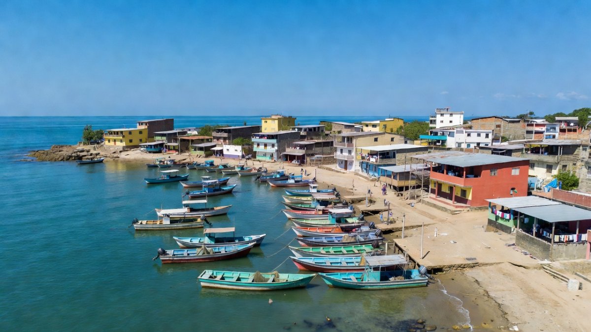
The epicenter lay directly off the Chiapas shoreline near the Guatemala border, a region where INEGI data show high concentrations of Tzotzil, Tzeltal, and Tojolabal communities living in traditional adobe homes. Approximately 6 million residents felt moderate to strong shaking, with reports extending into Oaxaca and Tabasco. Governor Eduardo Ramírez of Chiapas immediately instructed his cabinet to suspend all administrative activities, while private businesses followed suit to allow families to check on relatives. Puerto Madero, a fishing town whose 4,200 residents depend on the port for daily catches of snapper and shrimp, saw piers sway but sustain no structural loss. The Soconusco region of Chiapas, which borders Guatemala and produces 28 percent of Mexico's coffee and 15 percent of its mango exports, reported only minor cracks in processing facilities near Tapachula.
Chiapas state recorded peak ground acceleration of 0.28 g at the Puerto Madero station operated by the Servicio Sismológico Nacional. Residents in the coastal municipality of Suchiate, 12 km from the border, described the 45-second duration as longer than the 2017 Chiapas earthquake that measured 8.2 and killed more than 100 people in September 2017. Local radio stations in Tapachula broadcast updates in Spanish, Tzeltal, and Mam within eight minutes of the main shock.
Tsunami Alerts Issued and Lifted
The US Tsunami Warning System issued alerts for coasts within 300 km of the epicenter, forecasting waves up to one meter. In Puerto Madero, 0.3-meter waves arrived and lasted 12 minutes; across broader Chiapas coastal zones the same height persisted for 28 minutes. Admiral Raymundo Morales of SEMAR reported no serious maritime incidents, though he noted elevated water levels reaching 0.5 meters at some beaches. NOAA issued lower-level advisories for eight other nations — El Salvador, Colombia, Costa Rica, Ecuador, Nicaragua, Panama, Peru, and Honduras — before all warnings were lifted within an hour. Fishermen in Puerto Madero returned to port by 10:15 local time after receiving clearance from the harbor master.
SEMAR deployed two patrol vessels from the 8th Naval Region in Chiapas to monitor tide gauges at Puerto Chiapas and Barra de Cahoacán. Data transmitted every six minutes showed no wave exceeding 0.4 meters after the initial surge. Coastal hotels in Puerto Madero evacuated 312 guests to higher ground along Avenida del Mar before the alert was canceled at 09:52.
Minimal Casualties Amid Strong Shaking
Demetrio Martínez, head of Tapachula Civil Protection, confirmed only two injuries region-wide. A Haitian migrant woman in her 30s suffered fractures after jumping from a third-floor apartment building during a nervous breakdown triggered by the shaking; she remained hospitalized in stable condition at Hospital Regional de Tapachula. A second person received cuts from shattered glass at a market stall on Calle Central. The event came weeks after Venezuela's twin June 24 quakes, leaving many residents already on edge from recent seismic news. Cruz Roja Mexicana activated its regional preparedness protocols at 08:55, dispatching 14 ambulances and 47 volunteers to coastal municipalities.
Tapachula, a key transit city for Central American migrants heading north, saw shelters on Avenida 5 de Mayo open within 40 minutes. Staff there distributed water and blankets to 186 people who had left their rooms during the shaking. No fatalities occurred despite the shallow 15.2 km depth, a contrast to the 2017 Chiapas earthquake that struck farther offshore yet caused more than 100 deaths.
Swift Government Response Across Regions
President Sheinbaum coordinated with SEGOB and SEDENA to deploy rapid-assessment teams. Governor Salomón Jara Cruz of Oaxaca reported only moderate intensity and no major damage. In Guatemala, President Bernardo Arévalo activated the national emergency management agency after buildings were evacuated in Guatemala City; a separate 5.6 magnitude quake struck Quetzaltenango the same day, yet produced no fatalities. SEDENA sent 180 soldiers from the 31st Military Zone in Chiapas to inspect bridges along Federal Highway 200 between Tapachula and Ciudad Hidalgo.
Cruz Roja Mexicana established a command post at its Tapachula chapter within hours, coordinating with Protección Civil to check 47 schools in the Soconusco coffee-growing zone. SEGOB released an initial damage estimate of 2.4 million pesos for minor infrastructure repairs in Puerto Madero and Suchiate.
Cross-Border Effects in Central America
Strong shaking crossed into Guatemala and El Salvador, prompting evacuations in both countries. Guatemalan authorities confirmed a separate 5.6 aftershock near Quetzaltenango caused no additional harm. Communities on both sides of the Mexico-Guatemala frontier shared resources and information through established cross-border civil-protection channels. In El Salvador, the Dirección General de Protección Civil reported 1,200 people evacuated from coastal hotels in La Libertad before the alert ended at 10:05 local time.
Guatemalan seismic network stations in San Marcos recorded intensities of IV on the Modified Mercalli scale. Cross-border radio frequencies used by Protección Civil and Guatemala's CONRED allowed real-time exchange of aftershock data between Tapachula and Quetzaltenango.
Series of Aftershocks Continue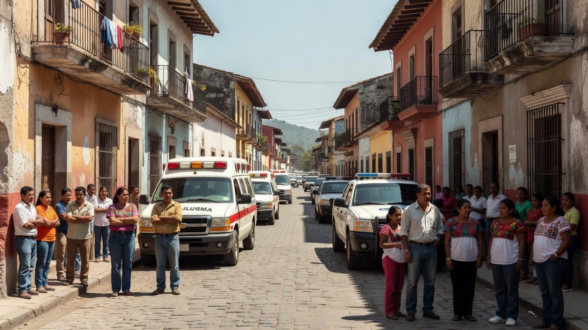
USGS recorded at least 10 aftershocks between magnitudes 4.9 and 6.0 in the hours following the main shock. These events kept residents outdoors in many coastal towns, where families gathered in open plazas as Protección Civil teams conducted door-to-door checks. The largest aftershock, magnitude 5.8 at 11:22 local time, was centered 14 km southwest of Puerto Madero and produced brief swaying in high-rises in Tuxtla Gutiérrez, 180 km away.
Servicio Sismológico Nacional analysts at the Universidad Nacional Autónoma de México issued hourly updates through Saturday. Residents in Puerto Madero remained in Plaza Principal until 14:00, when local authorities declared it safe to return to homes.
Mexico's Earthquake Preparedness and Building Codes
Lessons from the 1985 magnitude 8.0 quake that killed more than 10,000 people, the 2017 magnitude 7.1 event that claimed 370 lives, and the 2022 magnitude 7.7 quake have driven major updates to Mexico's building codes. Reinforced concrete standards now apply even in rural Chiapas, while early-warning sirens installed after 2017 gave residents seconds to evacuate. The Presidencia de la República continues funding retrofitting programs targeting vulnerable adobe structures common among indigenous families. The 1985 Mexico City earthquake, an 8.0 event centered 400 km away, caused far greater destruction because it struck closer to densely populated areas; this 7.3 offshore quake benefited from both distance and modern alerts.
Chiapas received 47 million pesos in 2023 for seismic retrofits of 1,200 schools and 38 hospitals. The Servicio Sismológico Nacional added three new broadband stations in the Soconusco region in March 2024, improving detection times by 14 seconds compared with 2017.
Human Impact on Coastal Communities and Migrant Populations
Many Tzotzil and Tzeltal families in coastal Chiapas live in older homes ill-suited to shallow quakes, yet community networks and rapid alerts prevented larger tragedy. The Haitian migrant woman injured in Tapachula highlights the added vulnerability of displaced populations who often reside in multi-story rentals without seismic reinforcements. Local shelters opened by Protección Civil provided immediate support to both long-term residents and recent arrivals still processing the memory of Venezuela's recent disasters. In Puerto Madero, 68 fishing families spent the afternoon repairing nets on the beach rather than returning to their homes until aftershocks subsided.
Tapachula's migrant shelters on Avenida Central Norte housed 312 people from Honduras, Haiti, and Venezuela on Friday night. Cruz Roja Mexicana distributed 480 hygiene kits and 200 meals by evening, focusing on families with children under five.
What to Watch For: Aftershocks and Damage Assessments
Civil Protection teams will spend the coming days inspecting schools, hospitals, and bridges, with full reports expected from SEGOB within 72 hours. Residents should remain alert for aftershocks above magnitude 5.0 and follow instructions from local authorities. SEMAR vessels continue patrolling coastal waters to monitor any secondary tsunami risk, while INEGI will soon release updated demographic maps to guide long-term recovery planning. Governor Eduardo Ramírez scheduled a press conference in Tuxtla Gutiérrez for early next week to present preliminary damage figures from the Soconusco coffee and mango zones.
INEGI field teams began door-to-door surveys in Puerto Madero on Saturday, collecting data on 1,850 households. Protección Civil advised families in Tapachula to secure water heaters and bookshelves before the next possible aftershock.
By Rosa Martinez, Staff Writer
This article was produced with AI-assisted research and editorial support. Reporting is based on sources cited in the article.
What's Your Reaction?
 Like
0
Like
0
 Dislike
0
Dislike
0
 Love
0
Love
0
 Funny
0
Funny
0
 Wow
0
Wow
0
 Sad
0
Sad
0
 Angry
0
Angry
0
Latin America/Andes Correspondent at Global1.News. Based in Bogota, covering politics, environment, energy, and social movements across the Andean region. Passionate about environmental journalism and communities protecting their land.












Comments (0)