
'Domeng' keeps strength while moving over Philippine Sea
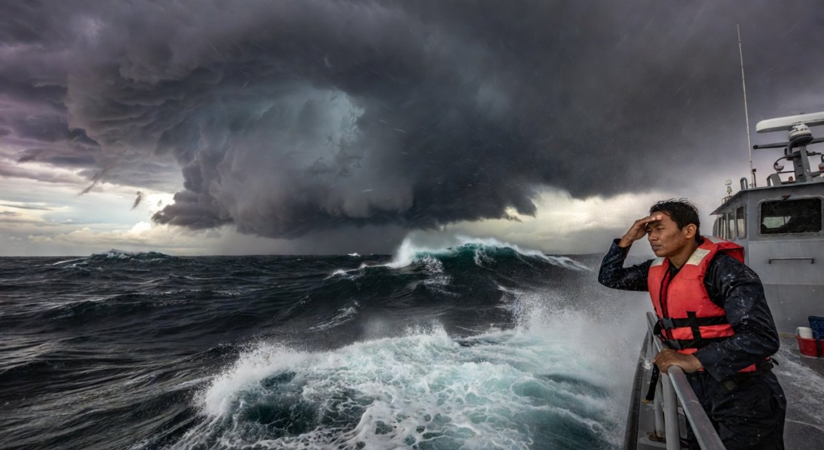
Severe Tropical Storm Domeng maintained its strength as it tracked west-northwestward over the Philippine Sea on Saturday morning, May 30, keeping weather authorities and coastal communities on alert for possible shifts in its path that could bring heavy rainfall and rough seas closer to the eastern seaboard. The storm, known internationally as Jangmi, showed no signs of weakening despite moving over open waters, according to the Philippine Atmospheric, Geophysical and Astronomical Services Administration. This steady intensity underscores the need for continued vigilance, as tropical systems in the region can rapidly alter course or intensify when environmental conditions align.
The development matters immediately because the Philippine Sea serves as a primary corridor for weather disturbances that eventually influence land areas. Even without direct landfall, such storms generate swells that affect fishing operations, maritime transport, and low-lying coastal zones. Early monitoring allows agencies to prepare resources and issue timely advisories, reducing the risk of last-minute disruptions during the onset of the rainy season.
Current Status and Movement
PAGASA reported that Domeng retained its severe tropical storm classification while progressing steadily across the Philippine Sea. The west-northwestward direction places the system in waters east of the archipelago, where it continues to draw energy from warm sea surface temperatures typical for late May. Forecasters noted that this trajectory keeps the center sufficiently distant from landmasses for now, yet the consistent strength signals that the system is not yet encountering significant wind shear or cooler waters that could erode its structure. Tracking data indicate the storm remains organized, with its circulation intact. This persistence over open sea often precedes either gradual weakening or further development, depending on upper-level winds and moisture availability. Residents along the eastern coasts of Luzon and the Visayas have been advised to monitor updates closely, as any deviation southward could bring the outer rainbands nearer to shore within the next 48 to 72 hours.Meteorological Context in the Philippine Setting
The Philippine Sea functions as a breeding ground for tropical cyclones during the transition months between the northeast and southwest monsoons. Systems like Domeng form or enter this area when the intertropical convergence zone shifts northward, providing the necessary lift and moisture. In May 2026, sea surface temperatures remain elevated, supplying the heat engine that sustains storm intensity even as the system moves. PAGASA’s early-morning bulletin highlighted the absence of rapid intensification signals at this stage, yet the lack of weakening factors keeps the possibility open. Historical patterns show that storms crossing the Philippine Sea in late May can either curve northward toward higher latitudes or continue westward, eventually interacting with the eastern Philippines. The current movement aligns with steering influences from the subtropical ridge to the north, which typically guides systems in this direction during this period. Understanding these dynamics helps explain why Domeng’s maintenance of strength is noteworthy. It reflects the broader atmospheric setup rather than an isolated event, reminding forecasters that the season’s first significant systems often set the tone for subsequent activity.Potential Broader Implications
Although the storm center remains offshore, its presence already affects maritime safety. Fisherfolk and vessel operators in the eastern seaboard face heightened wave heights and stronger winds, prompting authorities to recommend staying in port. Supply chains reliant on inter-island shipping could experience delays if conditions persist or worsen. On land, the storm’s distant circulation may enhance the southwest monsoon flow, leading to increased cloudiness and scattered rain over western sections of the country in the coming days. This indirect influence can saturate soil in agricultural areas ahead of the main wet season, affecting planting schedules and flood risk assessments. Local government units have begun reviewing contingency plans, particularly in provinces with histories of storm-induced landslides and river swelling. From an economic standpoint, prolonged monitoring diverts resources toward preparedness rather than routine operations. Ports, airports, and tourism sites along the eastern corridor adjust schedules accordingly, illustrating how even non-landfalling systems carry measurable costs. The steady intensity of Domeng serves as a reminder that early-season storms test response mechanisms before peak months arrive.Preparedness Measures and Next Steps
Government agencies continue to coordinate through the National Disaster Risk Reduction and Management Council framework. Local disaster offices are disseminating information through community channels, emphasizing the importance of heeding subsequent bulletins. Evacuation centers remain on standby, though no mass movements have been ordered yet. PAGASA has committed to issuing updates every six hours or more frequently if the storm shows signs of acceleration or recurvature. Satellite imagery and buoy data will help detect any changes in structure that could signal either intensification or decay. Should Domeng maintain its current pace, the system is expected to remain over the Philippine Sea through the weekend, giving additional time for refined forecasts. Looking ahead, the coming 72 hours will prove critical. A northward turn could steer the storm away from direct impact, while a more westerly path might bring its effects closer to northern Luzon. Forecasters stress that conditions can evolve quickly, underscoring the value of sustained observation rather than premature conclusions. Communities are encouraged to review family emergency plans and secure loose outdoor items as a standard precaution.By Bella Reyes, Staff Writer
This article was produced with AI-assisted research and editorial support. Reporting is based on sources cited in the article.
What's Your Reaction?
 Like
0
Like
0
 Dislike
0
Dislike
0
 Love
0
Love
0
 Funny
0
Funny
0
 Wow
0
Wow
0
 Sad
0
Sad
0
 Angry
0
Angry
0

Isabella "Bella" Reyes
Philippines/Southeast Asia Correspondent at Global1.News. Manila-based journalist covering Philippine politics, environment, maritime security, and social issues. Passionate about marine conservation and the communities protecting the Philippines' natural heritage.












Comments (0)