UK Heatwave: June Temperature Records Broken Three Days R...
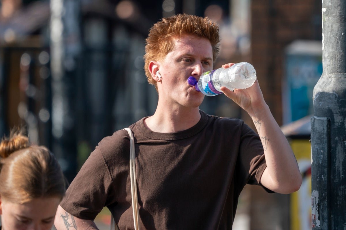
June Temperature Records Fall Three Days Running Friday provisionally became the UK's hottest June day on record after temperatures reached 37.3°C in Santon Downham, Suffolk. That figure surpassed the 36.7°C recorded the previous day in Merryfield, Somerset, and marked the third consecutive day on which a June temperature benchmark had been broken. The sequence of daily records
June Temperature Records Fall Three Days Running
Friday provisionally became the UK's hottest June day on record after temperatures reached 37.3°C in Santon Downham, Suffolk. That figure surpassed the 36.7°C recorded the previous day in Merryfield, Somerset, and marked the third consecutive day on which a June temperature benchmark had been broken. The sequence of daily records has placed sustained pressure on public health and infrastructure across large parts of England.
Met Office data confirm that the heatwave criteria, defined as three consecutive days above county-specific thresholds of 25-28°C, were met in multiple regions. The amber extreme heat warning remained in force on Saturday even as some areas recorded a modest drop from Friday peaks. Forecasters noted that the pattern reflected a gradual rather than abrupt change in air mass.
Health Alerts Highlight Risks to All Age Groups
The UK Health Security Agency maintained amber heat health alerts for the North West, North East, Yorkshire and the Humber, East Midlands, West Midlands, East of England, London, South East and South West until Sunday. Officials warned residents of sunburn, heat exhaustion and other heat-related illnesses, with particular concern for those without access to adequate shade or hydration.
Dr Agostinho Sousa, head of extreme events and health protection at the UKHSA, stated that the conditions carried a risk to life even for the healthy population. A teenager died after entering a lake during the sweltering conditions, underscoring the immediate dangers associated with sudden immersion in cold water after prolonged heat exposure. London Ambulance Service chief operating officer Craig Harman urged people to drink water and to consume alcohol responsibly.
Hospitals in affected areas declared critical incidents as demand for emergency care rose. The combination of high daytime temperatures and limited overnight relief left little recovery time for vulnerable residents, stretching NHS resources already under seasonal pressure.
Schools and Transport Networks Face Operational Strain
More than 500 schools closed across England as head teachers judged that classroom conditions had become unsafe. The decision reflected both the physical discomfort for pupils and staff and the practical difficulties of maintaining normal timetables without adequate ventilation or cooling.
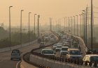
Passengers were advised against non-essential travel after warnings of possible delays to road, rail and air services. High temperatures can distort tracks, soften road surfaces and affect aircraft performance, creating cumulative disruption across interconnected networks. The amber warning continued to cover eastern England, the Midlands and the North West on Saturday, with the South East added to the alert area.
A separate yellow thunderstorm alert was issued for Scotland until 3am on Saturday, illustrating that the weather hazards were not confined to heat alone. The combination of convective activity and residual warmth created additional hazards for drivers and outdoor workers.
Gradual Cooling Expected from Sunday Onwards
Met Office chief forecaster Andy Page described a gradual shift over the weekend that would bring lower temperatures by Sunday. London is forecast to reach 31°C on Saturday afternoon before falling to 24°C on Sunday, while Cardiff is expected to record 20°C. Meteorologist Annie Shuttleworth indicated that conditions would finally cool down this weekend, with temperatures potentially 17°C lower than Friday peaks in some locations.
The rare red weather warning that had covered the corridor from London to Oxford to Canterbury was lifted at 9pm on Friday. Forecasters emphasised that the transition would be progressive rather than instantaneous, leaving Saturday as a day of continued caution despite the slight easing of maximum temperatures.
By early next week a westerly influence is expected to return average temperatures and introduce rain to many areas. The change marks the end of the current heatwave episode but does not eliminate the possibility of further spells of warm weather later in the summer.
Public Services Tested by Consecutive Days of Extreme Heat
The sequence of record temperatures has exposed the limits of existing contingency arrangements for schools, hospitals and transport operators. Local councils and emergency planners have had to coordinate responses across wide geographic areas while the amber alerts remained active. The fact that the heatwave definition was met in multiple counties simultaneously demonstrates the scale of the challenge.
Regional variations in the timing of peak temperatures and the subsequent cooldown have required tailored advice from the Met Office and the UKHSA. Residents in the South East, for example, faced an extended period under the amber warning compared with some northern areas, affecting decisions about outdoor events and workplace arrangements.
Planning Implications for Future Heat Episodes
The three-day run of June records and the associated amber alerts illustrate the operational demands placed on national and local systems when temperatures remain elevated for consecutive days. Public health messaging focused on hydration, responsible alcohol consumption and avoidance of sudden cold-water immersion has been repeated across multiple agencies.
Transport operators and education authorities now hold detailed records of how infrastructure and staffing responded under sustained heat. These experiences will inform revisions to heat plans ahead of any subsequent warm spells. The return to average temperatures and westerly winds next week provides a window for maintenance and review before further seasonal variability arrives.
By Erica Thornton, Staff WriterWhat's Your Reaction?
 Like
1
Like
1
 Dislike
0
Dislike
0
 Love
0
Love
0
 Funny
0
Funny
0
 Wow
0
Wow
0
 Sad
0
Sad
0
 Angry
0
Angry
0
US Politics and Policy Correspondent at Global1.News. Based in Washington DC, covering American politics, policy, elections, and the courts. Knows how the system works and tells you what it actually means.


Comments (0)