
Did El Niño turn Hurricane Polo into the most powerful storm of the season?
Hurricane Polo has become a focal point for anyone watching the Pacific hurricane season, not only because of its size but because it embodies the growing influence of the El Niño climate pattern on our region’s weather.
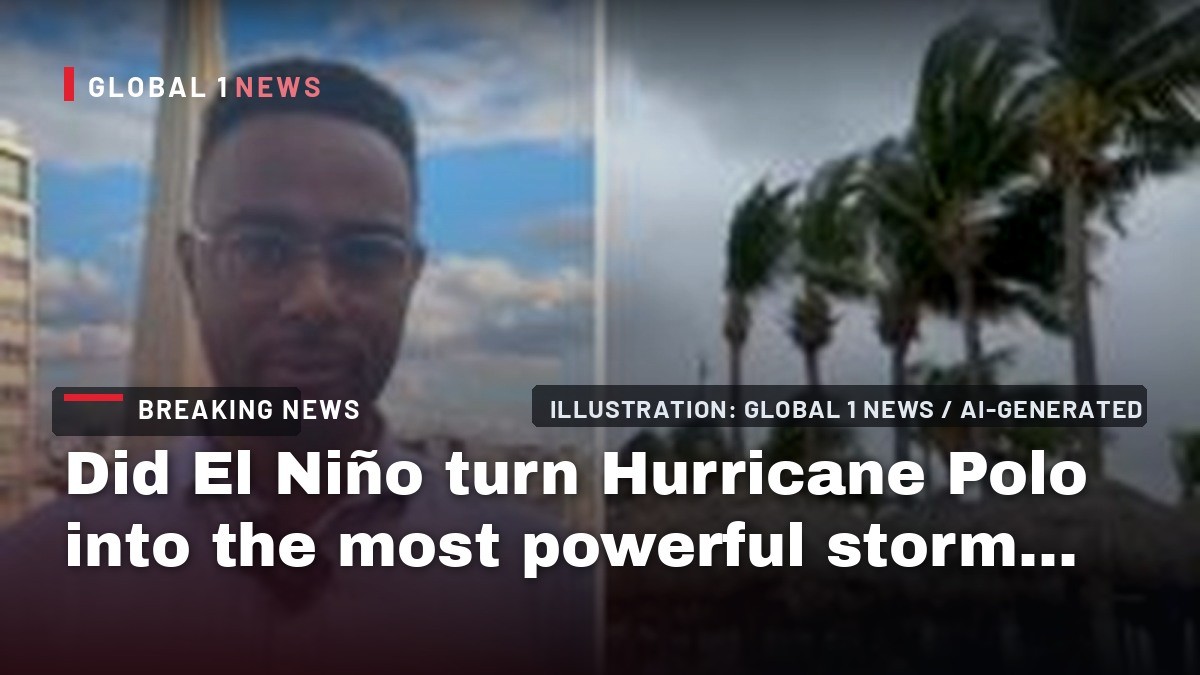
Hurricane Polo has become a focal point for anyone watching the Pacific hurricane season, not only because of its size but because it embodies the growing influence of the El Niño climate pattern on our region’s weather. The storm, now classified as a category 4 system by the U.S. National Hurricane Center, remains “very powerful” despite a recent downgrade, and its slow‑moving nature has kept it hovering off the coast of south‑western Mexico for days. While forecasters have warned of intense wind and rain, they have also stressed that Polo is not expected to make landfall. The underlying driver, however, is the unusually warm sea surface that El Niño has brought to the Pacific, a factor that has turned Polo into one of the season’s strongest storms.
The Meteorological Context of Hurricane Polo
Understanding Polo’s intensity requires a look at the broader atmospheric conditions that have been shaping the Pacific basin this year. The National Hurricane Center’s assessment of Polo as a “very powerful” category 4 hurricane underscores the storm’s sustained wind speeds and low central pressure, characteristics that are amplified when sea‑surface temperatures rise above normal levels. In the case of Polo, the storm’s energy source is directly linked to the warm waters generated by the El Niño phenomenon, a recurring climate pattern that temporarily raises ocean temperatures across the central and eastern Pacific.
El Niño’s impact on tropical cyclones is well documented: warmer waters provide more latent heat, which fuels the convection cycles that power hurricanes. In Polo’s case, the storm’s slow movement has allowed it to remain over these heated waters for an extended period, extracting energy continuously and maintaining its strength even as it drifts parallel to the Mexican coastline. This combination of warm water and slow translation has turned Polo into a textbook example of how El Niño can intensify tropical systems.
Why Polo Remains Offshore
Forecast models have consistently shown that Polo is steering away from a direct landfall, a relief for the coastal communities of south‑western Mexico that have faced the brunt of past Pacific hurricanes. The storm’s trajectory, as described by the National Hurricane Center, points it parallel to the shoreline rather than directly inland. This path reduces the immediate threat of a catastrophic surge, but it does not eliminate the risk of heavy rain and strong gusts that can still affect coastal towns and agricultural zones.
The decision to emphasize that Polo is “not expected to make landfall” reflects a cautious optimism among meteorologists. Even without a landfall, the storm’s outer rain bands can bring significant precipitation, leading to flooding in low‑lying areas and triggering landslides in the rugged terrain that characterizes much of the region. Residents are therefore urged to stay vigilant, especially in areas prone to flash flooding.
El Niño’s Role in Amplifying Pacific Storms
El Niño’s influence on Hurricane Polo is a reminder of the broader climate dynamics at play across Latin America. The BBC’s coverage highlights that the storm’s power is directly tied to the “extremely warm waters caused by the El Niño climate phenomenon.” When sea‑surface temperatures rise, the ocean releases more heat into the atmosphere, creating a more unstable environment that can support stronger cyclonic activity.
In practical terms, this means that storms like Polo can maintain higher intensity for longer periods, especially when they move slowly. The warm water acts as a continuous fuel source, preventing the storm from weakening as it might over cooler waters. This mechanism is central to understanding why Polo has become one of the most powerful Pacific hurricanes of the season, despite being downgraded from a higher category.
Implications for Coastal Communities
The presence of a powerful, slow‑moving hurricane off the coast carries a set of challenges for the people living along Mexico’s Pacific shoreline. Even without a direct hit, the “intense wind and rain” forecasted by the National Hurricane Center can cause significant disruption. Strong gusts can damage roofs, topple trees, and interrupt power supplies, while heavy rains can overwhelm drainage systems, leading to urban flooding.
Local authorities have been issuing advisories, urging residents to secure property, stock up on essentials, and stay informed through official channels. The warning that Polo is “not expected to make landfall” does not diminish the need for preparedness; the storm’s outer bands can still deliver hazardous conditions, especially in vulnerable neighborhoods where infrastructure is already strained.
Historical Perspective on Pacific Hurricanes and El Niño
While the current season’s focus is on Polo, it is useful to place this storm within the historical pattern of Pacific hurricanes influenced by El Niño. Past El Niño events have been associated with an uptick in the number and intensity of Pacific tropical cyclones, as the warmer waters consistently provide the energy needed for storms to intensify. Polo’s development follows this pattern, illustrating how climate cycles can shape the severity of weather events across the region.
This historical lens also informs how governments and disaster‑response agencies plan for future seasons. Knowing that El Niño can boost storm strength helps shape early warning systems, resource allocation, and community education programs aimed at reducing the human and economic toll of powerful hurricanes.
Scientific Insights and Ongoing Research
The scientific community is closely monitoring Polo as a case study of El Niño’s immediate impact on storm dynamics. Researchers are analyzing satellite data, sea‑surface temperature readings, and atmospheric pressure trends to better understand the feedback loops that allow a storm to maintain category 4 strength over an extended period. The BBC’s coverage underscores the importance of such research, noting that the phenomenon’s influence on “one of the most powerful storms of the season” offers valuable data for climate models.
These investigations are crucial for improving future forecasts. By refining the understanding of how warm water anomalies translate into storm intensity, meteorologists can provide more accurate predictions, giving communities more time to prepare and potentially saving lives.
Looking Ahead: What Polo Means for the Rest of the Season
As the Pacific hurricane season progresses, Polo serves as both a warning and a benchmark. Its sustained power, fueled by El Niño, suggests that other storms forming later in the season could also benefit from the same warm‑water conditions. This possibility raises concerns for coastal nations throughout Central America and the Caribbean, where similar oceanic patterns could amplify future cyclones.
Authorities across the region are therefore urged to maintain heightened vigilance, especially as El Niño continues to shape weather patterns throughout 2026. The lesson from Polo is clear: even when a storm does not make landfall, its proximity and intensity can still pose serious risks. By staying informed, preparing proactively, and supporting scientific research, communities can better navigate the challenges that a warming climate brings to the Pacific hurricane basin.
This article was produced with AI-assisted research and editorial support. Reporting is based on the source material cited below. Sources: BBC News Latin America; bbc.co.uk; Global1.News (24 September 2026).
By Elena Vasquez, Staff Writer
What's Your Reaction?
 Like
0
Like
0
 Dislike
0
Dislike
0
 Love
0
Love
0
 Funny
0
Funny
0
 Wow
0
Wow
0
 Sad
0
Sad
0
 Angry
0
Angry
0

Latin America Correspondent at Global1.News. Based in Mexico City, covering politics, economics, energy, and culture across the region. Brings an on-the-ground perspective to stories spanning from the Rio Grande to Patagonia.














Comments (0)