
Nepal-Tibet Flood Death Toll Tops 750, Thousands Missing
Nepal-Tibet flood death toll tops 750 with more than 3,000 missing on Day 5. A glacial collapse triggered catastrophic flooding at the Rasuwa/Gyirong border, devastating villages, stranding foreign tourists, and testing rescue teams in brutal terrain.
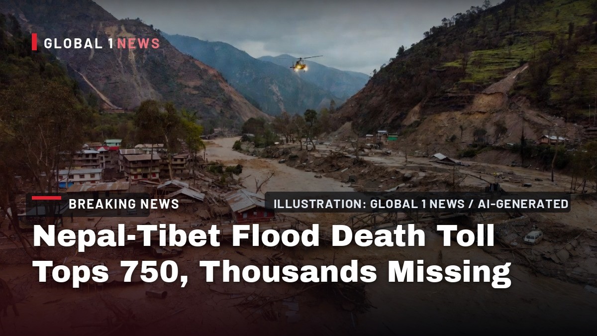
The death toll from Wednesday’s catastrophic flood along the Nepal-Tibet border has surged past 750, with more than 3,000 people still unaccounted for as search-and-rescue teams on Sunday claw through mud, rock, and debris in a desperate hunt for survivors. Day five of the disaster has become a grim accounting for officials on both sides of the Himalayan frontier, where a single wall of ice and water erased entire villages in minutes.
Nepal-Tibet Flood Death Toll Tops 750, Thousands Missing
Trishuli, Nepal — article continues...
Death Toll Rises as Search Enters Day Five
The combined death toll from the August 26 flood has reached at least 750, with more than 3,000 people still missing, according to The Guardian’s live coverage on Sunday citing official updates from both governments. The numbers have climbed steadily since the first bodies were pulled from the mud late Wednesday, and officials warn the final count could be far higher.
Nepali officials report 734 confirmed dead and 2,498 missing across the Rasuwa and Nuwakot districts, where the Trishuli river valley bore the brunt of the surge. Chinese authorities have confirmed 16 dead and 546 missing in Tibet’s Gyirong County, where the border crossing and port facilities were completely inundated. The disparity in the figures reflects the sheer scale of the destruction and the difficulty of accounting for people in remote, high-altitude settlements.
Earlier tallies painted a rapidly evolving picture of the catastrophe. Nepalese police had recovered 157 bodies by late Wednesday, according to initial reports. By Thursday, Al Jazeera reported more than 390 killed and 1,500 missing. The New York Times documented at least 160 killed on the first day alone. Each subsequent update has revised the numbers upward as rescue teams reach areas that were completely cut off for days.
What Happened at the Border
The disaster struck on Wednesday, August 26, when a massive wall of mud, rock, ice, and water collapsed into a river on the Himalayan border between Nepal and China’s Tibet region. The surge hit the Rasuwa/Gyirong border crossing area with virtually no warning, catching residents, traders, and tourists in the open valley floor.
On the Nepal side, the villages of Syapru Besi and Timure in Rasuwa district were hit hardest, along with communities further downstream in Nuwakot district along the Trishuli river valley. Eyewitness accounts from survivors describe a thunderous roar followed by a brown wall of debris that swallowed homes, bridges, and roads in seconds. On the Tibet side, Gyirong County and the Gyirong Port border crossing were completely submerged, destroying infrastructure that serves as a key trade link between the two countries.
The border area is one of the busiest overland crossings between Nepal and China, frequented by trekkers, traders, and truck drivers moving goods between Kathmandu and Lhasa. The timing of the flood — mid-morning on a Wednesday — meant markets and transit points were fully active when the water arrived.
Why a Glacier Collapse Triggered Catastrophic Flooding
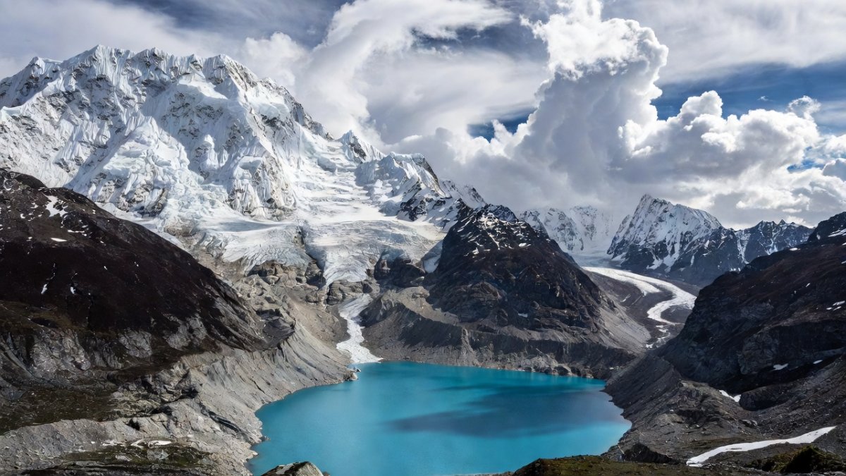
Authorities say the flood was triggered by a high-altitude glacier collapse, a type of event known as a glacial lake outburst flood, or GLOF. In such events, a glacier or moraine dam holding back a lake of meltwater fails suddenly, releasing a massive volume of water and debris down steep mountain valleys.
Scientists have long warned that the rapidly warming Himalayan region faces rising glacier-collapse and flood risk. The mountains are warming faster than the global average, and glaciers across the range are retreating at an accelerating pace. As glaciers thin and retreat, they leave behind unstable moraine dams and growing meltwater lakes that can breach without warning.
The August 26 event appears to have involved not just water but a massive volume of rock and ice, suggesting a large section of glacier may have calved or collapsed directly into the river system. The resulting debris flow traveled dozens of kilometers downstream, picking up material and increasing in destructive power as it moved through narrow gorges.
Climate scientists have documented a marked increase in GLOF events across the Himalayas in recent decades, and this week’s disaster is likely to intensify calls for better monitoring and early-warning systems in the region. But the sheer remoteness and altitude of these glaciers make real-time surveillance extremely difficult, and many at-risk communities remain without any form of alert system.
Tourists and Foreign Nationals Among the Missing
Among the more than 400 tourists reported missing in the early days of the disaster, around 340 were foreign nationals, according to Nation Thailand citing Nepalese police. The border area is a popular starting point for treks into the Langtang region and a transit route for overland travelers heading between Nepal and Tibet.
American tourists are among the missing, according to NBC News and Reuters reporting. The U.S. Embassy in Kathmandu has been working with Nepali authorities to account for American citizens who were in the affected area, though officials have not released specific numbers. Other foreign nationals from Europe, Asia, and the Americas are also believed to be unaccounted for, and several embassies have set up emergency hotlines for families seeking information.
The presence of so many foreign nationals in the disaster zone has added an international dimension to the rescue effort, with diplomatic pressure mounting on both Nepal and China to prioritize the search for missing foreigners. However, rescue teams face the same brutal terrain and damaged infrastructure regardless of nationality, and officials caution that the identification of recovered bodies will take time.
Rescue Efforts Hampered by Terrain
The rescue operation on Day 5 remains a logistical nightmare. Damaged roads have severely hampered ground rescue efforts, with many villages accessible only by foot or helicopter. The flood destroyed bridges, washed out highways, and left vast stretches of the valley covered in thick mud and debris that can swallow rescue workers up to their waists.
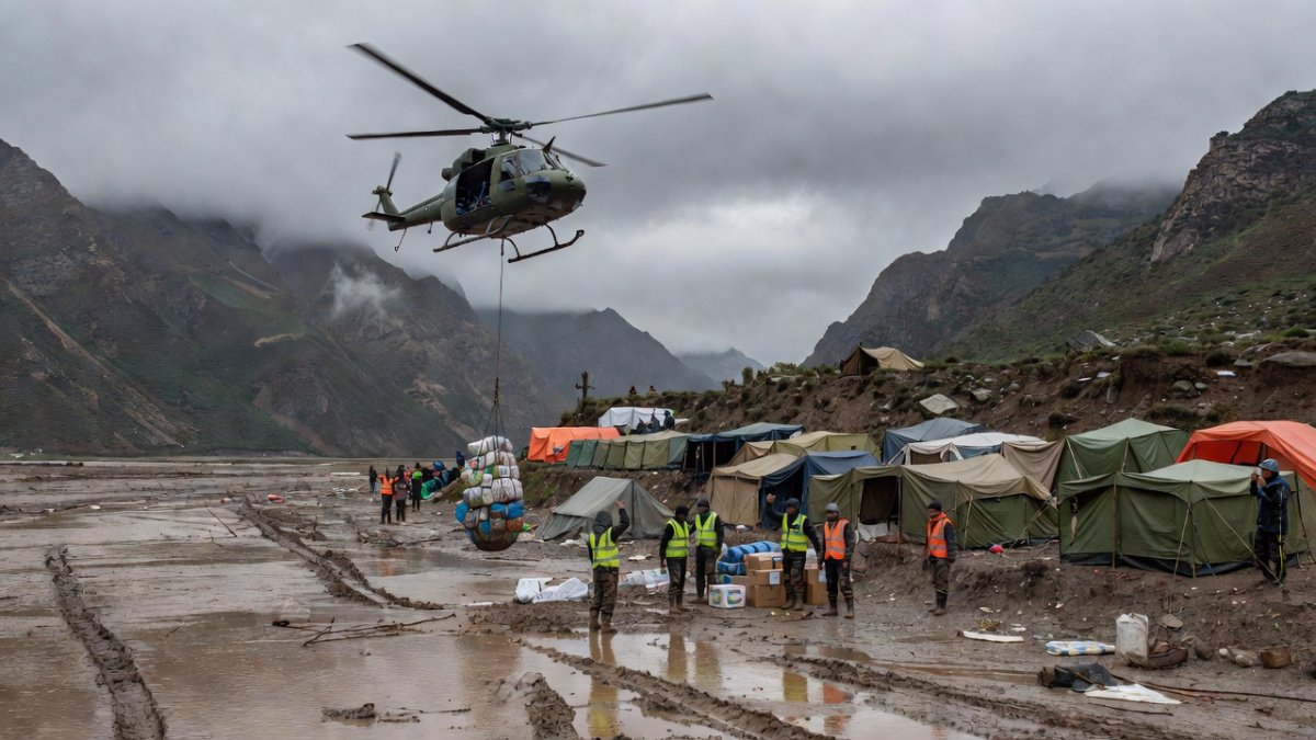
Helicopters have been transporting survivors out of the worst-hit areas, but high water and unstable landing zones have prevented them from touching down at Syapru Besi and Timure. In several cases, helicopters have had to hover while rescue teams winched survivors aboard, or drop supplies to stranded groups before returning to base. The Nepal Army has deployed search-and-rescue teams who are working through the mud and debris by hand, using shovels, picks, and in some cases just their bare hands to dig through collapsed structures.
Rescue efforts continue on Sunday, with teams focusing on areas where survivors have been reported or where sounds have been heard beneath the rubble. But the window for finding people alive is closing rapidly, and officials acknowledge that the recovery phase is likely to begin soon. The sheer scale of the debris field — in some places several meters deep — means that many of the missing may never be found.
Medical teams have set up temporary field hospitals in unaffected areas downstream, treating survivors for hypothermia, broken bones, and trauma. Many survivors lost everything, including their homes, livestock, and identification documents, and aid agencies are scrambling to provide shelter, food, and clean water to thousands of displaced people.
What This Means for the Himalayan Region
The disaster has reignited urgent questions about the future of the Himalayan region, where climate change is fundamentally altering the landscape. The glaciers that feed the region’s major rivers are melting at unprecedented rates, and the risk of catastrophic floods is rising in tandem. This week’s event is not an anomaly; it is a preview of what scientists say will become more frequent and more destructive in the coming decades.
For Nepal and Tibet, the immediate priority is search and rescue, followed by the monumental task of rebuilding roads, bridges, and communities that were wiped out in minutes. The border crossing at Gyirong Port was a vital economic artery, and its destruction will have ripple effects on trade between Nepal and China for months, if not years.
But the longer-term challenge is one of prevention and preparedness. Experts argue that high-altitude glacial lakes need to be systematically mapped, monitored, and in some cases drained to reduce the risk of outburst floods. Early-warning systems that can detect a breach and alert downstream communities within minutes could save thousands of lives, but such systems are expensive and technically challenging to deploy in the world’s highest mountains.
The political implications are also significant. The disaster has forced Nepal and China to coordinate a cross-border response, and both governments have pledged to work together on recovery efforts. But the scale of the tragedy — with more than 3,000 people still missing — suggests that the region’s infrastructure and emergency services were woefully unprepared for the scale of the threat.
As the search enters its sixth day, the focus remains on finding the living. But the broader lesson of August 26, 2026, is that the Himalayas are changing, and the countries that share them must adapt or face repeated catastrophes. The water that destroyed Syapru Besi and Gyirong County came from the mountains themselves, and scientists warn it will not be the last such event.
By Jessica Ali, Staff Writer
This article was produced with AI-assisted research and editorial support. Sources: Reuters, The Associated Press, Al Jazeera, The Guardian, NBC News, The New York Times, CCTV.
What's Your Reaction?
 Like
0
Like
0
 Dislike
0
Dislike
0
 Love
0
Love
0
 Funny
0
Funny
0
 Wow
0
Wow
0
 Sad
0
Sad
0
 Angry
0
Angry
0

Editor-in-Chief at Global1.News. Atlanta-based journalist who cuts through the BS and tells it like it is. Lead anchor, host, and the voice you hear when the spin stops and the truth starts.















Comments (0)