
Hurricane Simon Reaches Category 4 With 150 MPH Winds Off Mexico
Hurricane Simon strengthened into a Category 4 storm with 150 mph winds off Mexico's Pacific coast on Saturday. Mexico suspended non-essential activity in 23 coastal municipalities, opened shelters and began evacuating people ahead of an expected Sunday morning landfall in Jalisco.
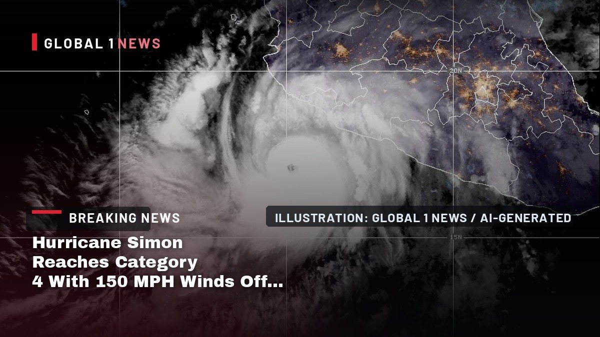
Hurricane Simon strengthened into a Category 4 storm with 150 mph winds off Mexico's Pacific coast on Saturday, and federal and state authorities told residents of four states to stay indoors from mid-afternoon as the hurricane closed on Jalisco. Forecasters expect Simon to reach the coast on Sunday morning, and Mexico has suspended non-essential activity in 23 coastal municipalities, opened shelters and begun evacuating people from low-lying ground. Simon is one of three storms churning through the Atlantic and Pacific basins at the same time.
Hurricane Simon Reaches Category 4 With 150 MPH Winds Off Mexico
Puerto Vallarta, Mexico — Hurricane Simon intensified into a Category 4 hurricane on Saturday morning and was grinding north toward Mexico's west-central coast at walking pace, forcing a sweeping emergency order and telling residents to be off the streets by late afternoon. The National Hurricane Center in Miami said Simon's maximum sustained winds had reached 150 mph (240 km/h), with a minimum central pressure of 938 millibars.
A Category 4 Hurricane 115 Miles From Manzanillo
At 9:00 a.m. local time (1500 UTC), the centre of Simon was near latitude 17.4 north, longitude 104.8 west, the hurricane centre said — about 115 miles (185 km) south-southwest of Manzanillo, Colima, and 215 miles (345 km) south-southeast of Cabo Corrientes, Jalisco. Mexico's civil protection agency described the same position as 185 kilometres south-southeast of Manzanillo. Simon was moving north at about 3 mph (6 km/h), a general motion forecast to continue through the weekend. Hurricane-force winds reached outward up to 15 miles (30 km) from the centre; tropical-storm-force winds extended up to 125 miles (205 km). An Air Force reconnaissance aircraft was scheduled to fly into the storm later in the day.
Landfall Expected Sunday Morning Between La Huerta and Tomatlán
Laura Velázquez Alzúa, the national coordinator of civil protection, said the forecast updated at 9:00 a.m. had Simon touching land during the morning of Sunday 11 October between the Jalisco municipalities of La Huerta and Tomatlán. The hurricane centre said the same thing in different words: Simon would be near or just inland of the west-central coast on Sunday, arriving as a major hurricane late on Saturday or early on Sunday. The track is not settled. In its forecast discussion, the hurricane centre noted that most of the skilled model guidance had been running to the left of the actual track, and that Simon could stay just offshore as it moved north. If it moves inland, it should dissipate quickly over mountainous terrain; if it stays offshore, it holds hurricane strength longer. That difference decides how far the worst winds reach.
What the Hurricane Centre Is Warning About
A hurricane warning is in effect from Punta San Telmo to El Roblito and for Las Islas Marias. A tropical storm watch covers the coast east of Punta San Telmo to Lázaro Cárdenas. The rain is what worries forecasters most. Simon is expected to produce 10 to 20 inches (250-500 mm) of rainfall over parts of southwestern Mexico, with isolated totals of up to 30 inches (750 mm) across Michoacán, Colima and Jalisco through Sunday. "This rainfall will produce life-threatening flooding and mudslides, especially in areas of steep terrain," the hurricane centre said. Mexico's civil protection agency put it at extraordinary rainfall above 250 mm for Michoacán, Colima and Jalisco, with rivers and streams rising, urban flooding, landslides and damaged roads all in the forecast. A dangerous storm surge was expected near and to the east of landfall, accompanied by large and destructive waves, with swells producing life-threatening surf and rip currents for days.
Mexico Freezes the Coast at 16:00
Velázquez announced a temporary suspension of mobility and non-essential activities from 16:00 on Saturday across 23 municipalities in four states, to stay in force through the period of greatest risk and until authorities decide conditions are safe. In Jalisco the order covers Puerto Vallarta, Cabo Corrientes, Tomatlán, La Huerta, Cihuatlán, Cuautitlán de García Barragán, Villa Purificación, San Sebastián del Oeste, Mascota and Talpa de Allende. In Colima: Armería, Tecomán, Manzanillo, Minatitlán and Comala. In Michoacán: Coahuayana, Aquila and Lázaro Cárdenas. In Nayarit: Bahía de Banderas, Compostela, San Blas, Tepic and Santiago Ixcuintla. Residents of the coastal communities of Puerto Vallarta, Cabo Corrientes, Tomatlán, Cihuatlán and Villa Purificación in Jalisco, and of Manzanillo, Armería and Tecomán in Colima, were told to remain in their homes from 17:00 and to move to a shelter when instructed or if their homes sat in risk zones.
261 Evacuated, 13 Shelters and 6,500 Responders in Jalisco
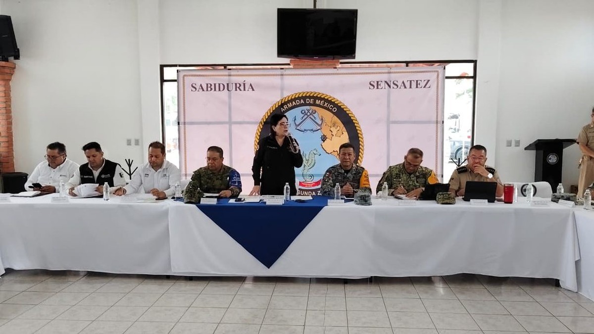
The coordination session was led by Velázquez alongside the governors of Colima and Jalisco, Indira Vizcaíno Silva and Jesús Pablo Lemus Navarro, and carried a message from President Claudia Sheinbaum that the population is not alone. Three command posts were established — two in Jalisco, at Puerto Vallarta and Cihuatlán, and one in Manzanillo, Colima — with a federal command post at the Puerto Vallarta naval base. Jalisco reported the preventive evacuation of 261 people from risk zones, 13 temporary shelters with capacity for 1,900 people, and a deployment of roughly 6,500 civilian and military personnel. Colima ordered beaches closed, opened five temporary shelters and put more than 1,500 personnel on standby. The navy said it was deploying more than 4,000 personnel across five Pacific states.
Puerto Vallarta Boards Up
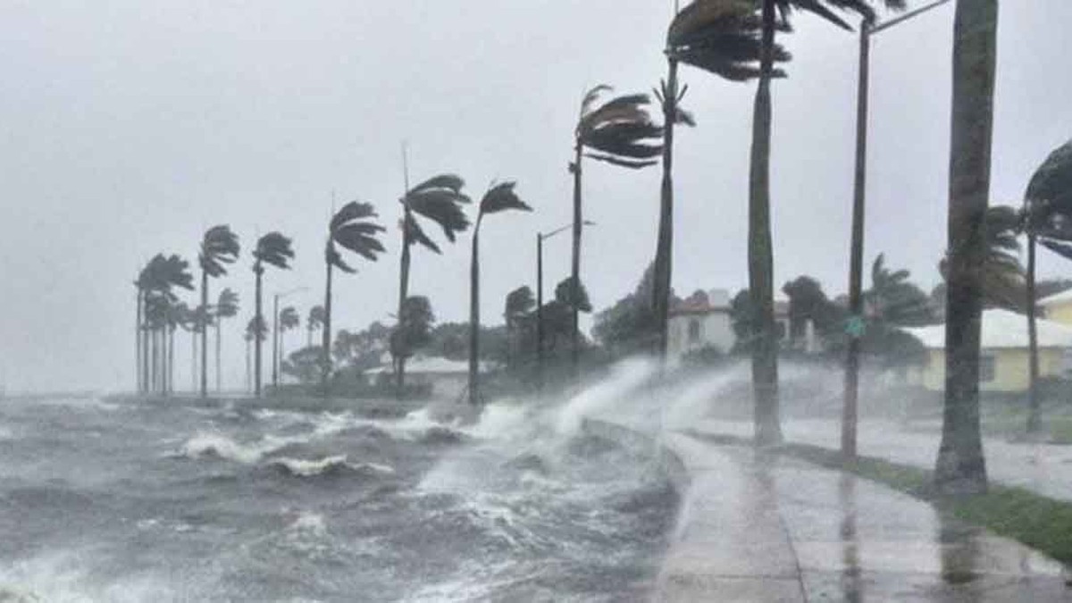
In Puerto Vallarta, one of Mexico's biggest tourist destinations and a short flight from the United States, convenience stores, hotels and other businesses were boarding up their windows on Saturday morning, and few people were walking the streets under overcast skies, the Associated Press reported. Jalisco suspended classes on Friday and Monday in 22 coastal municipalities and asked the tourism sector to ensure workers and visitors were fully accommodated in shelters or safe zones by Friday afternoon. The state said the regional hospital and health centres in Puerto Vallarta had medical staff and medicines to keep care running around the clock. Tourism authorities stayed in contact with the hotel sector to ask that visitors remain indoors.
Ports Closed and Flights Cut
The navy shut ports along the Pacific. Lázaro Cárdenas was closed to vessels of all sizes, while Barra de Navidad and Puerto Vallarta in Jalisco, Manzanillo in Colima, and Acapulco, Zihuatanejo and Puerto Marqués in Guerrero were closed to smaller craft. Manzanillo International Airport suspended commercial operations on Saturday by decision of the airlines, Grupo Aeroportuario del Pacífico said, advising passengers to check with their carrier directly on flight status and alternatives; the airport was to stay open for general aviation and Mexican armed forces flights if weather allowed. Volaris cancelled its Puerto Vallarta flights for the weekend.
From a Depression to Category 4 in Three Days
Simon formed on Wednesday 7 October from Tropical Depression Twenty-E off Mexico's Pacific coast. Forecasters expected it to reach hurricane strength by Friday, and the hurricane centre's own forecast at that point peaked at Category 3. It came in stronger. On Friday evening, Mexico's national meteorological service was reporting Simon as a Category 2 with sustained winds of 175 km/h. By the early hours of Saturday it was a Category 4. The hurricane centre said the storm's very small inner core had kept strengthening and its tiny eye had begun to clear out, and warned that the small core carried more uncertainty than usual: "it is possible that Simon could become stronger than what is forecast." Reports of peak winds diverged slightly by Saturday morning — the hurricane centre and the Associated Press both put maximum sustained winds at 150 mph (240 km/h), while The Independent reported 145 mph (230 km/h). Civil protection put gusts at up to 295 km/h.
Two Other Storms Are Running at the Same Time
Simon is not alone in the water. Hurricane Isaias made landfall near Destin, Florida, as the first hurricane of the Atlantic season and left hundreds of thousands of people in Alabama and the Florida Panhandle without power early on Saturday, with flooded roads and downed trees inland and more heavy rain forecast across the southeastern United States through the weekend. Tropical Storm Rachel was also expected to bring heavy winds to the region. Florida governor Ron DeSantis told residents on Friday: "The storm is here. Buckle down at this point. Don't be getting out on the roads." Three storms on two coastlines in one weekend stretch the same pool of aircraft, forecasters and emergency crews.
The Danger After Landfall
The threat from Simon does not end when the centre comes ashore. Over Jalisco's mountains it should weaken fast — the hurricane centre's forecast had Simon still at 140 mph as it moved inland on Sunday evening, then down to 35 mph and post-tropical by Monday afternoon, and dissipated by Tuesday. But rain is what kills in a storm like this, and 10 to 20 inches falling on terrain this steep is a flood threat that outlives the wind. Communities near barrancas, riverbeds and unstable ground can be cut off by slides and broken roads even if the eye passes to one side, Mexican civil protection officials warned. Authorities said the mobility restriction stays until they judge it safe to restart normal activity, and urged residents to follow alerts from Conagua, the national meteorological service and state agencies, to stay off the water, and to evacuate when told. Folks on that coast know the drill. The question this time is whether the mountain gets the rain before the sea does.
By Jessica Ali, Staff Writer
This article was produced with AI-assisted research and editorial support. Sources: NOAA's National Hurricane Center, Associated Press, The Independent, Diario Puntual, LatinUS, Expansión, PorEsto, El Heraldo de Puebla, Reporte Indigo, Vallarta Daily and the Coordinación Nacional de Protección Civil.
What's Your Reaction?
 Like
0
Like
0
 Dislike
0
Dislike
0
 Love
0
Love
0
 Funny
0
Funny
0
 Wow
0
Wow
0
 Sad
0
Sad
0
 Angry
0
Angry
0

Editor-in-Chief at Global1.News. Atlanta-based journalist who cuts through the BS and tells it like it is. Lead anchor, host, and the voice you hear when the spin stops and the truth starts.















Comments (0)