
Himalayan Glacier Collapse Kills 675, Exposes Regional Warning Gaps
Four days after a catastrophic flash flood tore through Nepal's Trishuli River system, the confirmed death toll has reached 675 with more than 2,400 people still missing, making it one of the deadliest glacial-related disasters in the Himalayas in recent memory.
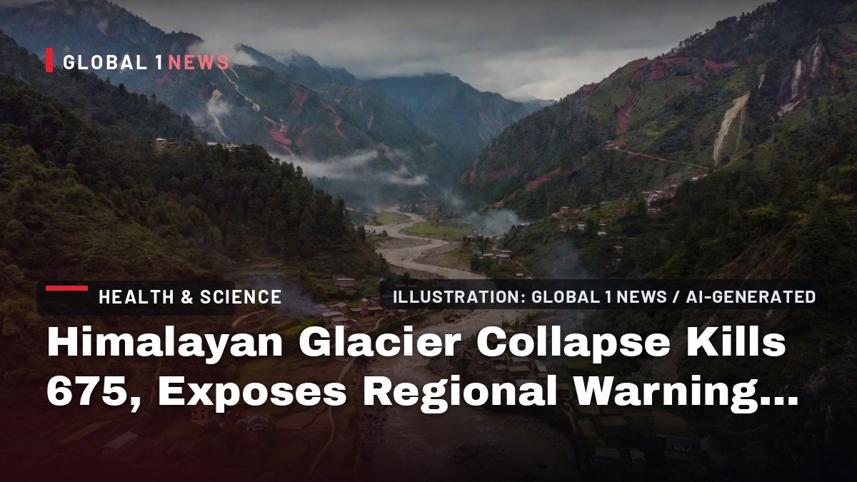
Four days after a catastrophic flash flood tore through Nepal's Trishuli River system, the confirmed death toll has reached 675 with more than 2,400 people still missing, making it one of the deadliest glacial-related disasters in the Himalayas in recent memory. The event, which began with a seismic signal equivalent to a magnitude 5.2 earthquake but was later determined by the US Geological Survey to be a glacier collapse, has exposed critical gaps in transboundary early-warning systems between Nepal, China, and India. For New Delhi, the disaster carries immediate human consequences — more than 275 Indian nationals remain unaccounted for — and long-term policy implications for how South Asia manages shared Himalayan river systems under a warming climate.
Himalayan Glacier Collapse Kills 675, Exposes Regional Warning Gaps
New Delhi, India – August 30, 2026 — The morning of 26 August 2026 began with a seismic tremor recorded at 02:52 UTC (08:37 NPT) near Langtang National Park, a signal initially mistaken for an earthquake. Within seven minutes, surveillance cameras at the Gyirong Port complex on the China-Nepal border captured floodwaters obliterating the facility, the primary gateway for bilateral trade and tourism. What followed was a 72-kilometre cascade of debris-laden water and mud that struck dozens of settlements across seven Nepali districts — Rasuwa, Nuwakot, Dhading, Gorkha, Tanahun, Nawalparasi, and Chitwan — and carried the bodies of some victims 240 kilometres downstream into Indian territory. The US Geological Survey's analysis of long-period seismic waves has since concluded the signal was consistent with a glacier collapse, not a tectonic earthquake, a finding that reframes the disaster from an act of nature to a predictable consequence of cryospheric instability.
The Science of the Collapse
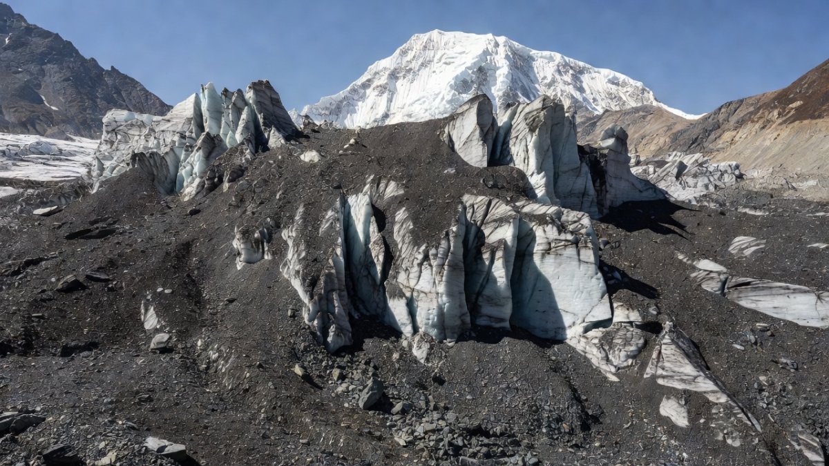
Geomorphologists investigating the event have converged on a leading hypothesis: a portion of an unnamed glacier, approximately 610 metres wide and situated roughly 64 kilometres north of Kathmandu and about 15 kilometres east of where the flood was first noticed, detached and fell about 1,200 metres. The velocity and friction of the impact melted the ice instantaneously, and the resulting meltwater, mixed with rock debris, displaced the river system in the valley below. The GFZ Helmholtz Centre in Potsdam recorded a moment magnitude 5.7 event consistent with a landslide at the same timestamp, corroborating the USGS interpretation. A second, smaller landslide event (Ms 4.2) was detected three hours later. Preliminary studies by Nepal's National Disaster Risk Reduction and Management Authority (NDRRMA), based on Planet Labs satellite imagery, indicate a glacial-rock slide approximately 20 kilometres northeast of the Rasuwagadhi border point, with the debris entering the Lhende Khola (also known as the Lende River or Donglin Tsangpo, which originates in Gyirong County, Tibet) before flowing through Timure into the Trishuli River.
Nepal's Foreign Minister Shisir Khanal initially attributed the disaster to an earthquake-triggered avalanche, but the USGS seismic analysis has since demonstrated that the collapse itself generated the signal. Authorities have not yet determined a definitive cause; the weather was clear at the time, though Chinese authorities are investigating heavy rainfall in the Manasarovar and Ali areas on 25-26 August as a potential contributing factor. Some early analyses suspected a glacial lake outburst flood (GLOF), but the seismic and satellite evidence increasingly points to a rock-ice avalanche — a distinct and arguably more complex hazard.
Casualties and the Humanitarian Response
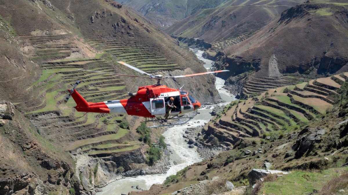
As of 29-30 August 2026, Nepali authorities have confirmed at least 675 deaths, with updated figures placing the missing at 2,426. In the Tibet Autonomous Region of China, an additional 7 people are confirmed dead and 554 remain missing. The toll has risen sharply from the 579 deaths and roughly 1,900-2,000 missing reported on 28 August, a jump driven in part by hydropower companies only recently sharing counts of unaccounted-for workers at projects in the devastated river valleys. The Nepal Tourism Board has released a preliminary list of nearly 400 missing travellers, including foreign nationals. The Nepal Red Cross has shifted its operational focus from rescue to large-scale relief, and approximately 14 helicopters remain deployed for search-and-rescue operations. The scale of the disaster invites historical comparison: a 1941 glacier melt event in Peru killed an estimated 5,000 people, and the Langtang valley itself lost more than 350 residents to a landslide and debris avalanche triggered by the April-May 2015 Nepal earthquakes.
What This Means for India
The human cost for India is immediate and severe. As of 30 August, more than 275 Indian nationals remain missing in Nepal. The Ministry of External Affairs (MEA) has confirmed that 108 Indians have been safely rescued and contact re-established with 50 others. Approximately 598 Indians stranded on the Chinese side of the border have crossed into Nepal, and another 900 are reported safe there. The Indian Embassy in Kathmandu has issued emergency helpline numbers for stranded citizens. India has responded with a fourth aid flight to Kathmandu, with the Indian Air Force mobilising C-17 and C-130 aircraft carrying earthmoving equipment, relief materials, and medicines. Forensic support teams have also been deployed as search and recovery continues. Prime Minister Narendra Modi spoke with Nepal's Prime Minister Balendra Shah, stating that the people of India stand with their Nepali brothers and sisters; India, China, the United States, and the World Bank have all offered support.
Domestically, Bihar and Uttar Pradesh have been placed on alert as the swollen river system moves downstream. Bihar has begun evacuations in six districts amid concerns that floodwaters could reach the state, and the National Disaster Response Force (NDRF) has deployed monitoring teams. Nepal has formally requested India and China to provide Bailey bridges to restore connectivity after roads and bridges were destroyed. The disaster also disrupts the Kailash Mansarovar Yatra pilgrimage routes through the region, affecting thousands of Indian pilgrims for whom Mount Kailash is a holy site across Bon, Buddhism, Hinduism, Jainism, and Sikhism.
The Early-Warning Failure
The most damning aspect of this disaster is that it was preventable in principle. China and Nepal had operated a flash-flood early-warning system for years, and the South China Morning Post credited it with consistently preventing casualties in prior events. The system failed on 26 August because water-level monitors were optimised for monsoon floods, not glacial collapse events, and upstream monitoring stations in Nepal were swept away before alerts could be transmitted. A senior fellow at the Stimson Center has called the region a monitoring "blind spot" that geologists paid little attention to. This failure is compounded by a broken diplomatic track record: in July 2025, a glacial lake outburst flood approximately 35 kilometres upstream of the Rasuwagadhi border point surged down the Lhende Khola and Bhote Koshi, affecting communities over 80-100 kilometres downstream, killing at least 11 people, and washing away the Miteri (Friendship) Bridge at Rasuwagadhi. Following that disaster, Nepal and China agreed in principle to share cross-border real-time flood information, but no formal agreement was ever signed. The issue was raised again during Foreign Minister Khanal's visit to China in May 2026 — without conclusion.
Hydropower Exposure and Economic Risk
At least a dozen hydropower projects have been reported damaged in the border region, a figure that underscores the strategic vulnerability of Nepal's energy infrastructure. The delayed reporting of missing workers at these projects — which pushed the missing tally above 2,400 — raises serious questions about safety protocols and workforce accountability in high-risk Himalayan valleys. For India, which imports significant hydropower from Nepal and has invested in cross-border transmission infrastructure, the damage represents both an immediate supply disruption and a longer-term investment risk. The pattern is not new: in October 2023, a glacial lake outburst flood from South Lhonak Lake in Sikkim devastated downstream infrastructure and killed dozens, demonstrating that the entire Himalayan arc — from Nepal to India's northeastern states — shares the same cryospheric hazards. The 2026 Trishuli disaster, however, is an order of magnitude larger in human cost.
Climate Context and the Cryospheric Glue
Scientists remain divided on direct attribution of this specific event to climate change, but the broader trend is unambiguous. Alton C. Byers, senior research associate at the Institute of Arctic and Alpine Research (INSTAAR) at the University of Colorado Boulder, put it succinctly: "Permafrost has been the cryospheric glue that's held the rock and the ice and the glaciers together for millennia, and now we're getting increasing evidence that it's being weakened by warming trends." The collapse of a 610-metre-wide glacier section, falling 1,200 metres and melting on impact, is precisely the kind of event that permafrost degradation enables. The comparison to the 1941 Peruvian disaster, which killed approximately 5,000 people, is not hyperbolic; it is a warning that the Himalayan cryosphere is entering a phase of accelerated instability. For India, which shares 15 major transboundary rivers with Nepal and China, the implications extend beyond disaster response to water security, infrastructure planning, and regional diplomacy.
The Bottom Line
The Trishuli disaster of 26 August 2026 has killed at least 675 people in Nepal and 7 in Tibet, with more than 2,400 and 554 missing respectively, including 275 Indian nationals. The USGS seismic analysis has established that this was a glacier collapse, not an earthquake, and the failure of the existing early-warning system — optimised for monsoon floods, not cryospheric events — represents a systemic gap that cost lives. The July 2025 flood that killed 11 people and destroyed the Miteri Bridge was a warning that went unheeded; the May 2026 diplomatic visit that failed to produce a formal data-sharing agreement was a missed opportunity. India, Nepal, and China now face a choice: continue treating Himalayan monitoring as a "blind spot," or build the transboundary early-warning infrastructure that the region's 1.5 billion downstream residents require. The 675 confirmed dead are not a statistic; they are the price of inaction, and the 2,400 missing are a countdown to the next disaster.
— By Dr. Raj Patel, Staff Writer
This article was produced with AI-assisted research and editorial support. Sources: NDTV, Kathmandu Post, The Hindu, Indian Express, New Indian Express, Economic Times, India Today, Wikipedia, Srishti IAS.
What's Your Reaction?
 Like
0
Like
0
 Dislike
0
Dislike
0
 Love
0
Love
0
 Funny
0
Funny
0
 Wow
0
Wow
0
 Sad
0
Sad
0
 Angry
0
Angry
0

India/South Asia Correspondent at Global1.News. Analytical voice with a background in science and health journalism. Based in New Delhi, covering Indian politics, education, healthcare, technology, and policy. Breaks down complex data into clear, actionable reporting.















Comments (0)