
High-Altitude Lakes Expanding in Arunachal, Raising Flood Risk: Study
The Eastern Himalayan state of Arunachal Pradesh is facing a slow-building but potentially catastrophic threat: a new scientific assessment has identified two high-altitude lakes as being at high risk of triggering glacial lake outburst floods (GLOFs), with a further 36 classified as medium risk...
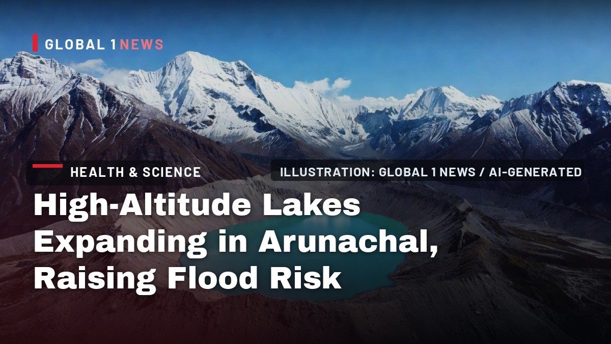
The Eastern Himalayan state of Arunachal Pradesh is facing a slow-building but potentially catastrophic threat: a new scientific assessment has identified two high-altitude lakes as being at high risk of triggering glacial lake outburst floods (GLOFs), with a further 36 classified as medium risk out of 127 lakes evaluated for danger. The findings, published in the journal Discover Hazards, underscore the growing vulnerability of India's mountain ecosystems to climate change and raise urgent questions about the safety of downstream communities and critical infrastructure.
As a science correspondent who has tracked Himalayan disasters for over a decade, this study is not merely an academic exercise—it is a stark warning that the clock is ticking on preparedness efforts in a region where a single lake failure can unleash devastation across state borders.
Arunachal GLOF Risk: 2 High, 36 Medium Lakes Identified
Itanagar, Arunachal Pradesh – September 4, 2026 — A comprehensive satellite-based study has mapped 127 glacial lakes across Arunachal Pradesh for GLOF risk, finding two lakes in a state of imminent danger and dozens more requiring urgent monitoring, as authorities scramble to bolster early-warning systems in India's eastern Himalayan frontier.
Two Lakes on the High-Risk List
The study, led by researchers from Nagaland University and published in the journal Discover Hazards, assessed 127 lakes out of a total of 2,212 mapped across the state. Using the Analytic Hierarchy Process (AHP), a multi-criteria decision-making tool, the team classified 89 lakes as low risk, 36 as medium risk, and crucially, two as high risk of a GLOF event.
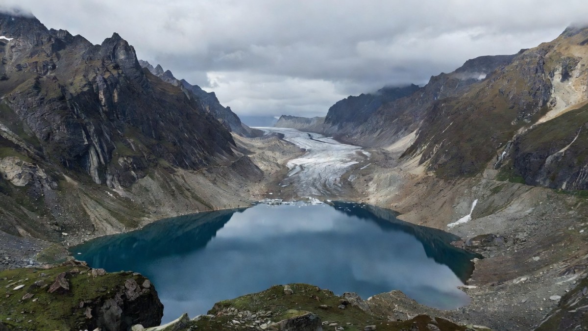
The two high-risk lakes are geographically distinct in type and location. One is a proglacial lake (PGL)—a lake formed directly in front of a glacier—located in West Kameng district. The other is an unconnected glacial lake (UGL), situated in Upper Dibang Valley district. Both exhibited significant expansion rates over the study period, making them particularly volatile. The risk distribution is heavily concentrated in five districts: Kurung Kumey, Lohit, Tawang, Upper Dibang Valley, and West Kameng. Upper Dibang Valley contains the highest number of at-risk lakes, with 44 low, 16 medium, and one high-risk water body, followed by West Kameng with 23 low, 11 medium, and one high-risk lake. Tawang district also features prominently with 16 lakes assessed, including 7 at medium risk.
Three Decades of Satellite Evidence
The research team, comprising Vimha Ritse, Amenuo Susan Kulnu, Latonglila Jamir, and corresponding author Nabajit Hazarika, utilized multi-temporal satellite data to track changes between 1988 and 2020. The results paint a concerning picture of a landscape in flux. In 1988, the state had 1,487 mapped lakes covering 7,921.95 hectares. By 2020, that number had surged to 1,985 lakes, with a combined area of 11,134.51 hectares.
Breaking down the data reveals nuanced trends. Non-glacial lakes (NGLs) saw the most dramatic increase, adding 498 lakes and expanding by 3,212.56 hectares. Proglacial lakes (PGLs), which are directly connected to glacier melt, decreased slightly in number from 24 to 22 but expanded significantly in total area, growing from 110.72 hectares in 1988 to 125.93 hectares by 2020. Unconnected glacial lakes (UGLs) tell a different story: they increased in number from 136 to 205 (a rise of 69 lakes) but their combined area actually shrank from 1,363.96 hectares to 1,215.57 hectares, a decline of 148.39 hectares. The majority of newly formed lakes were found at elevations between 4,000 and 5,000 metres above mean sea level, a zone where glacial retreat is accelerating due to rapid warming.
How the Risk Was Computed
The methodology behind this risk assessment is as important as the findings themselves. The researchers employed the Analytic Hierarchy Process (AHP), a structured technique for dealing with complex decisions, to screen 127 lakes selected from the 2,212 mapped. Seven parameters were considered, with lake expansion rate and proximity to glaciers identified as the most critical factors in determining GLOF risk.
The robustness of the analysis is supported by a consistency ratio of 0.091, which falls below the acceptable threshold of 0.1, indicating that the pairwise comparisons used in the AHP model are dependable. Risk categories were then derived using the Natural Breaks (Jenks) method, a statistical technique that groups data into classes based on natural groupings inherent in the data. This rigorous approach lends credibility to the findings, although the authors are careful to note limitations. Hazarika stressed that the findings should be viewed as an estimate rather than a definitive assessment of GLOF risk across the Eastern Himalayas, acknowledging that there could be other potentially dangerous lakes that have not yet been assessed.
Downstream Stakes: Settlements, the Brahmaputra and Hydropower
The concentration of medium- and high-risk lakes in Upper Dibang Valley, West Kameng, and Tawang districts is particularly alarming given what lies downstream. These areas are not just home to scattered high-altitude settlements; they are also critical zones for hydropower infrastructure that feeds India's growing energy demands. The study warns that many rivers originating from these high-altitude basins feed the Brahmaputra river, one of Asia's mightiest waterways that flows through Assam before entering Bangladesh.
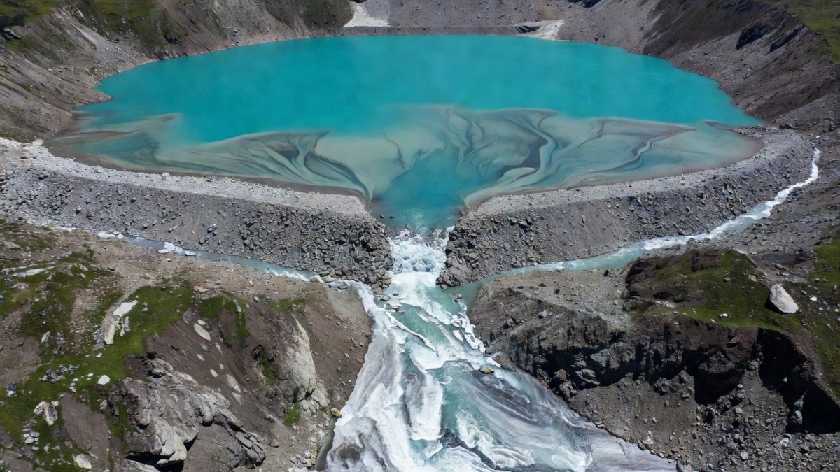
A GLOF event in this region would not be a localized disaster. The sudden release of water stored in a glacial or high-altitude lake—often triggered by the failure of a natural moraine dam—can hurl water, rocks, sediment, and debris downstream with devastating force. The study specifically warns that even a moderate GLOF could travel considerable distances downstream, aggravating flooding through heavy sediment loading and channel instability. For downstream Assam, which already grapples with annual monsoon floods, the addition of a GLOF-induced surge could prove catastrophic, potentially damaging bridges, roads, and hydropower dams that are vital to the regional economy.
What This Means for India
The timing of this study is significant. On Thursday, September 3, 2026, Union Home Secretary Govind Mohan reviewed preparedness for glacial lake outburst floods and avalanches with Arunachal Pradesh and other Himalayan states and Union Territories. This high-level attention reflects a growing recognition within the Indian government that GLOFs are no longer a hypothetical threat but a recurring reality. India's Himalayan states have experienced several GLOF-linked disasters in recent years, including the June 2013 Kedarnath tragedy in Uttarakhand, the February 2021 flash flood in Chamoli's Rishi Ganga valley, and the October 2023 glacial lake outburst from South Lhonak Lake in Sikkim that damaged infrastructure along the Teesta river and claimed dozens of lives.
The National Disaster Management Authority (NDMA) and state disaster management authorities have prioritized GLOF risk mapping and early-warning systems for the Indian Himalayas, but this new data suggests that efforts must be accelerated and expanded. The fact that Arunachal Pradesh has a substantial concentration of high-altitude lakes, particularly in Dibang Valley, Lohit, Tawang, Upper Siang, and West Kameng districts, means that state-specific action plans are urgently needed. The study's recommendation for continuous monitoring, updated hazard models, early warning systems, and community awareness programmes aligns with the NDMA's broader strategy, but implementation remains the critical challenge.
The Bottom Line
This study serves as a critical data point for policymakers, but it is not the final word. The identification of two high-risk lakes and 36 medium-risk lakes in Arunachal Pradesh is a call to action, not a prediction of imminent disaster. The authors themselves caution that their assessment is an estimate, and there may be other dangerous lakes yet to be identified. What is clear is that the Eastern Himalayas are warming rapidly, glaciers are retreating, and the lakes they leave behind are growing larger and more unstable.
For India, the path forward must involve a three-pronged strategy: investment in high-resolution satellite monitoring to track lake dynamics in real-time, deployment of ground-based sensors and early-warning systems in the highest-risk catchments, and community-level preparedness programmes that ensure people living downstream know how to respond to an alert. The stakes could not be higher—protecting lives, safeguarding hydropower assets, and ensuring the stability of the Brahmaputra basin requires urgent, data-driven action before the next disaster strikes.
This article was produced with AI-assisted research and editorial support. Sources: NDTV, News18, Assam Tribune, Discover Hazards (DOI 10.1007/s44475-026-00014-7).
— By Dr. Raj Patel, Staff Writer
What's Your Reaction?
 Like
0
Like
0
 Dislike
0
Dislike
0
 Love
0
Love
0
 Funny
0
Funny
0
 Wow
0
Wow
0
 Sad
0
Sad
0
 Angry
0
Angry
0

India/South Asia Correspondent at Global1.News. Analytical voice with a background in science and health journalism. Based in New Delhi, covering Indian politics, education, healthcare, technology, and policy. Breaks down complex data into clear, actionable reporting.














Comments (0)