
A Glacial Lake Above Gasa Bursts, and a River Runs Toward India
A glacial lake in Bhutan's Gasa district burst its moraine on 29 October, washing out infrastructure at the Gasa Tshachu hot springs and sending a surge down the Mo Chhu toward India's Sankosh, where West Bengal evacuated thousands.
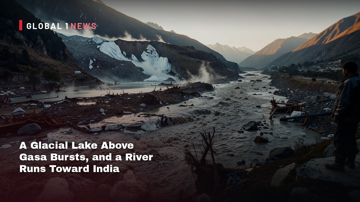
A glacial lake high in Bhutan's Gasa district gave way on Thursday evening, sending a wall of water down a Himalayan valley, tearing out the road to a mountain village, and pushing Indian authorities in West Bengal into a night-time evacuation and putting districts across Assam on alert along a river that does not stop at a border. Nobody has been reported killed. That is the one piece of good news in a story that is otherwise a warning shot.
A Glacial Lake Above Gasa Bursts, and a River Runs Toward India
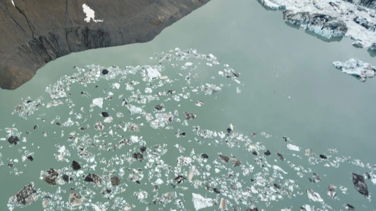
Gasa, Bhutan — The Shintaphu lake, one of seventeen glacial lakes Bhutan classifies as potentially dangerous, broke through its moraine on the evening of 29 October. By Friday morning, state broadcaster BBS was reporting that infrastructure at the Gasa Tshachu hot springs had been washed away, and that two Bailey bridges might be gone. The full extent of the damage was not yet known, BBS said, because of "darkness and the strong flow" of the water.
What Broke, and When
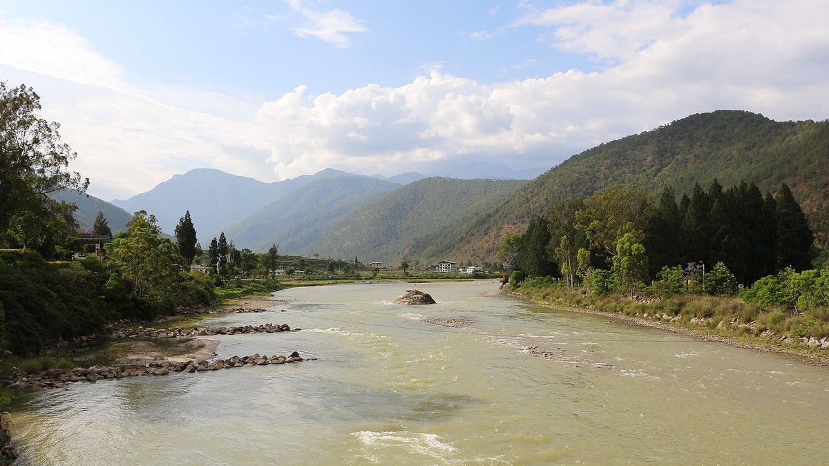
The lake sits below Wakila Mountain in Lungo, in Laya Gewog of Gasa district, in the upper reaches of the Mo Chhu river basin. The Mo Chhu drains south, joins the Pho Chhu at Punakha, and becomes the Punatsangchhu, which crosses into India as the Sankosh. A sudden release at the top of that chain is not a local event. It is a downstream event with a two-country audience.
Figures circulated with the alert and reported by NDTV Profit put the release at roughly 7.4 million cubic metres. The same reporting said floodwaters crossed Taktsimakhang at 8.27pm on 29 October and later passed Srigang in Kabesa Gewog, about eight kilometres from Punakha Dzong. Those are timestamps on a moving object, and everything downstream of them was decided by hours, not days.
The Station That Did Not Sound
Bhutan does not monitor these lakes casually. An official from the National Centre for Hydrology and Meteorology told India Today that a water-level monitoring station sits at Taktsimakhang, and that no alert had been triggered there at the time of the first reports. The centre said it was monitoring the Mo Chhu at Tashithang and had informed India.
That detail matters more than any damage figure. Bhutan's automatic warning system for the Punakha-Wangdue valley was built precisely for this failure mode, and its own designers describe it as a chain of seventeen sirens, four automatic water-level stations and three automatic weather stations, installed between 2010 and 2011, watched from a control room staffed around the clock by two technicians and wired to share water-level data with Assam and West Bengal.
A system that exists, and a station that stays silent, are two different facts. Both are on the record here.
Eight Kilometres From Punakha Dzong
Punakha is not an abstraction in this story. A 2026 paper in Natural Hazards and Earth System Sciences, volume 26, paper 1015, assessing glacial lake hazard across Bhutan, ranked Punakha as the district that would suffer the greatest glacial lake outburst damage in future, ahead of Bumthang and Wangdue Phodrang. The same study found that the fastest-moving outburst floods could reach very high risk areas such as Punakha town in up to three hours.
The dzong at Punakha, the fortress-monastery that housed Bhutan's government until the capital moved to Thimphu in 1955, has been damaged by flash floods before. It sits at the confluence of the two rivers that carry everything from above.
Water reaching Srigang, eight kilometres upstream of that confluence, is water with a schedule.
Gasa Tshachu, Washed Away Again
Gasa Tshachu is a cluster of medicinal hot springs on the bank of the Mo Chhu below Gasa Dzong, one of the most visited tshachu in the country, credited in Bhutanese tradition with curing a long list of ailments and drawing bathers from across the kingdom in winter.
It has now been destroyed twice in five years. A flood on a swollen Mo Chhu washed the complex away in 2021. It was rebuilt over roughly two years and reopened to the public in October 2023.
On Thursday night the water came for it again. Kuensel, Bhutan's national newspaper, reported that part of the road to Laya village, where the springs are located, had been washed away and made impassable, and that the road had been closed to traffic indefinitely. The area had been evacuated before the flood arrived, the newspaper said.
That evacuation is the reason this article has no death toll to report.
India's Red Alert on the Sankosh
Across the border, West Bengal's forest minister, Manoj Kumar Oraon, went to social media with a warning rather than a statement. In a video message, he told residents along the Sankosh in Alipurduar district that a surge could reach the Kumargram stretch within one to one-and-a-half hours and urged them to leave.
He named the places: the upper Sankosh forest village, the NKC Sankosh Tea Garden, Kumargram block, Chengmari, Valka Barabisa, Jharaguri and Pakriguri. "A dam in Bhutan has breached," he said, describing the moraine failure upstream. "We must act quickly to prevent a disastrous situation like the one seen in Nepal."
India's advisory warned of a sudden rise in Alipurduar and in Assam's Dhubri district, with water expected at the border within six to eight hours. Alerts went out across the Darjeeling hills, Alipurduar and Jalpaiguri.
Two Names for One Lake
There is a genuine disagreement about which lake failed, and it is worth stating plainly rather than tidying away.
The National Centre for Hydrology and Meteorology, BBS, Reuters, India Today and the Times of India all identify the source as Shintaphu, also rendered Sintaphu, in Gasa's Mo Chhu sub-basin. The ANI news agency, carried by The Economic Times and The News Mill, and the BJP member of parliament for Darjeeling, Raju Bista, in a post on X, both named Lemthang instead.
Those are not the same lake in the same place. Bhutan's own hydrological record lists a Lemthang Tsho breach in 2015 and describes it in the Pho Chhu basin, on the other side of the Punakha confluence from the Mo Chhu. Shintaphu sits in the Mo Chhu sub-basin, which is the drainage the flood actually followed.
The weight of evidence points to Shintaphu. The discrepancy is reported here because officials in two countries acted on it in the same night.
A Tsunami in the Sky, With a Warning System Attached
Bhutanese glaciologists have a phrase for this hazard: a tsunami in the sky. The country holds 567 glacial lakes, of which seventeen are classed as potentially dangerous. Its glaciers are receding at 30 to 60 metres a decade, according to UNDP, which supported the national adaptation programme that followed.
The response has been unusually concrete. Between 2008 and 2012, teams of roughly 350 workers went up above 4,400 metres each summer to cut an outflow channel through the moraine wall of Thorthormi lake by hand, lowering it by about five metres — without heavy machinery, because machinery would have destabilised the dam they were trying to save.
Modelling commissioned by Bhutan's Department of Geology and Mines and the International Centre for Integrated Mountain Development has suggested that an outburst from Thorthormi, or a cascade involving several lakes, could put more than 16,000 people and two major hydropower projects at risk along 150 kilometres of valley.
The Nepal Comparison Officials Reached For
Oraon invoked Nepal, and the instinct is understandable. Sixty-four days earlier, on 26 August, a flash flood on Nepal's border with China killed more than 1,500 people and left more than 5,000 missing, Reuters reported.
But the comparison breaks on mechanism. That disaster was not a glacial lake outburst. The United States Geological Survey recorded a slope failure involving a glacier in Langtang National Park that generated seismic energy equivalent to a magnitude 5.2 earthquake and sent a debris flow roughly 100 kilometres downstream. Researchers with the HiRisk project put the detachment at about 5,200 metres on the Langtang Lirung massif, one to 1.3 kilometres wide, which dammed the Lhende Khola and then failed. The project noted that warning times of ten minutes or more could have saved a significant number of lives.
Scientists quoted in the journal Science found "absolutely no evidence" of a glacial lake outburst in Nepal. Bhutan's event is the thing Nepal's was not.
Three Years to the Day Since Thorthormi
The National Centre for Hydrology and Meteorology's own incident record makes uncomfortable reading this week. On 30 October 2023, three years to the day before this report, the subsidiary lake II of Thorthormi glacier breached in Lunana. The automatic station on the lake recorded a fall from 5.51 metres at 7.15pm to 4.72 metres at 7.20pm, and the station downstream at Thanza peaked at 6.8 metres against a normal level of 6.42 metres.
An emergency meeting was convened at the flood monitoring room in Thimphu. The Dzongdas of Punakha and Wangdue Phodrang were informed. A three-member expert team flew to Lunana the next morning. The lake's sensors were damaged in the event and had to be read by hand.
Bhutan has done this before, recently, and knows the drill. What it has not yet shown is whether the drill moved fast enough on Thursday night.
What Is Still Unknown
Alipurduar's superintendent of police, Amit Kumar Shaw, said between 4,000 and 5,000 people had been moved into shelters using school buildings as relief centres, with more than 6,000 others relocated to safer areas. The State Disaster Response Force was already on site, a National Disaster Response Force team was en route, and civil defence volunteers had been deployed.
Shaw said the intensity of the flooding had lessened slightly, that dry food, drinking water and toilet facilities had been arranged, and that the administration would reassess in two hours. A red alert remains in force for the Sankosh river system. He warned the water could carry dead fish and debris, including large pieces of wood and concrete.
What nobody has yet established: the condition of the two Bailey bridges, the state of the PHPA-II dam, where the reservoir was reportedly drawn down with all sluice gates opened, the damage to a solar irrigation project in Guma Gewog that India Today said had stopped working, and whether the lake has finished emptying. Every one of those answers is still upstream, in the dark.
By Jessica Ali, Staff Writer
Photographs: the cover is a Global 1 News editorial card built on a photograph of Punakha Dzong by Christopher J. Fynn, CC BY-SA 4.0; Economic Times (glacial lake); Bernard Gagnon, CC BY-SA 4.0 (Mo Chhu at Punakha). This article was produced with AI-assisted research and editorial support. Sources: Reuters, The Hindu, India Today, NDTV Profit, The Times of India, The Economic Times, The News Mill, India TV, Firstpost, Kuensel, BBS, the National Centre for Hydrology and Meteorology, UNDP, the United States Geological Survey, HiRisk, Science, and the journal Natural Hazards and Earth System Sciences.
What's Your Reaction?
 Like
0
 Dislike
0
 Love
0
 Funny
0
 Wow
0
 Sad
0
 Angry
0

Editor-in-Chief at Global1.News. Atlanta-based journalist who cuts through the BS and tells it like it is. Lead anchor, host, and the voice you hear when the spin stops and the truth starts.













Comments (0)