
Hurricane Polo downgraded but remains 'very powerful' off coast of Mexico
Hurricane Polo, the most powerful Pacific storm of the 2026 season, has been downgraded from a category 5 to a category 4, yet it remains a formidable force off Mexico’s southwestern coast.
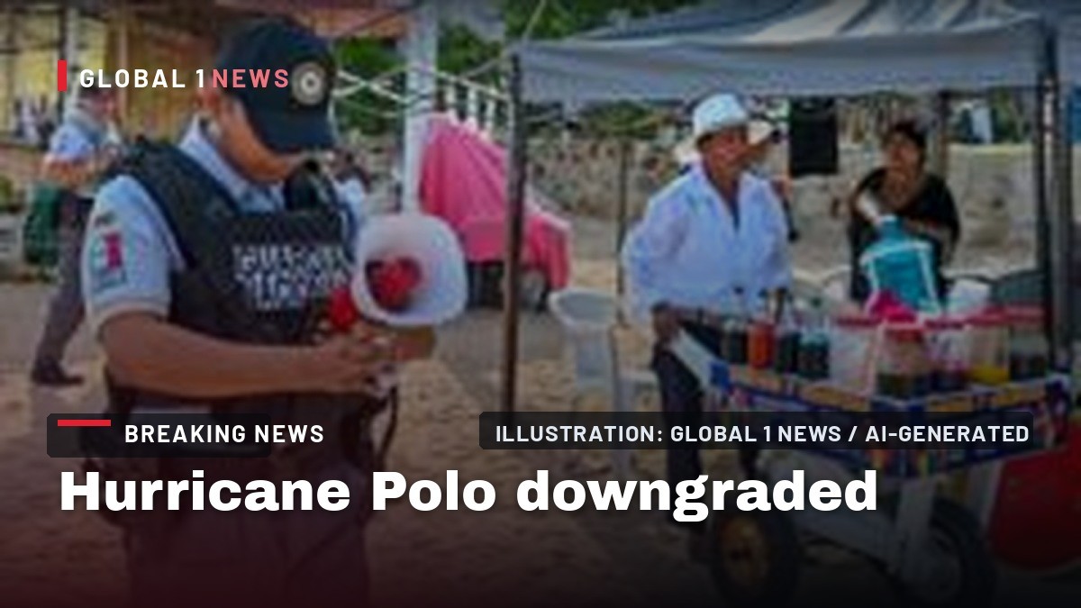
Hurricane Polo, the most powerful Pacific storm of the 2026 season, has been downgraded from a category 5 to a category 4, yet it remains a formidable force off Mexico’s southwestern coast. The United States National Hurricane Center warned that, while a direct landfall is not expected, the storm’s slow drift north‑west will unleash torrential rains, life‑threatening floods and mudslides across steep terrain. As the storm draws nearer, Mexican authorities have kept tropical storm warnings and watches in place, urging residents of Jalisco, Colima and Michoacán to stay vigilant.
From Category 5 to Category 4: What the Downgrade Means
The downgrade announced on Wednesday morning reflects a slight weakening of Polo’s sustained winds, which a NOAA Hurricane Hunter aircraft measured at around 180 mph (285 km/h) with even stronger gusts. Although the wind speed remains within the upper range of a category 4, forecasters stress that the storm could fluctuate in intensity over the next few days. The “very powerful” label remains, underscoring that the system still packs enough energy to cause severe damage even without a direct hit on land.
Experts note that the downgrade does not diminish the threat of extreme rainfall. The National Hurricane Center warned that rain totals could reach up to six inches (15 cm) broadly, with isolated pockets possibly seeing eight inches. In the rugged coastal mountains of Jalisco, Colima and Michoacán, such deluges can trigger rapid runoff, turning dry riverbeds into deadly torrents and destabilising slopes prone to landslides.
The El Niño Engine Behind the Storm’s Ferocity
Scientists attribute Polo’s intensity to an “extremely warm” ocean surface, a direct result of the current El Niño phenomenon. Sea‑surface temperatures in a key stretch of the central‑eastern Pacific were recorded at 3.05 °C above average on 19 September, surpassing the previous record of 3.02 °C set during the strong 2015 El Niño. This unprecedented warmth fuels storms by providing additional heat energy, which translates into higher wind speeds and greater moisture content.
El Niño, a naturally occurring climate pattern that emerges every two to seven years, typically lasts about a year. During its development, trade winds weaken or reverse, allowing warm water to spread eastward. The heat released from the ocean into the atmosphere not only intensifies individual storms like Polo but also influences broader weather patterns, potentially raising global temperatures and altering precipitation trends across the hemisphere.
Immediate Threats to Coastal Communities
President Claudia Sheinbaum, addressing the nation on Tuesday, confirmed that Polo will not make a direct landfall but warned that the storm’s peripheral effects could be devastating. She highlighted the need for heightened vigilance in the Pacific states, where large ocean swells and dangerous surf conditions are already forecast for the coming days. Coastal towns must brace for the combined impact of high waves and heavy rain, which can erode shorelines and flood low‑lying neighborhoods.
Authorities have issued a tropical storm warning for portions of the southwest coast and a watch west of Playa Perula. Residents under the warning are told to expect worsening conditions by Wednesday, while those in the watch area should prepare for the storm’s influence by Thursday. Emergency services are on standby to respond to potential landslides and flash floods that could isolate communities and cut off critical supplies.
Historical Context: A Record‑Breaking Season
So far this season, the Pacific basin has produced fifteen storms, all emerging in early September. Polo stands out as the strongest among a cluster of three systems currently swirling between Hawaii and the North American mainland. Its status as the most powerful storm of the batch underscores a broader trend of intensifying tropical cyclones linked to warmer ocean temperatures.
The rapid succession of storms this month has strained regional disaster preparedness. While the National Hurricane Center monitors each system closely, the cumulative effect of back‑to‑back storms can overwhelm local capacities, especially in remote mountainous areas where access is already limited. The current season’s activity highlights the growing challenge of managing climate‑driven extremes in a region where resources are often stretched thin.
Scientific Insights: Monitoring the Storm’s Evolution
Data collected by the Hurricane Hunter aircraft revealed that Polo’s environment remains “very conducive” for further strengthening. NOAA’s analysis points to the persistent heat anomaly in the central‑eastern Pacific as a key factor that could allow the storm to regain category 5 strength if conditions remain favourable. Continuous monitoring of sea‑surface temperatures and wind shear will be crucial in forecasting any potential re‑intensification.
Long‑term El Niño indicators have not yet reached record levels, but scientists expect the peak to arrive later this year. As the phenomenon intensifies, the likelihood of additional powerful storms increases, raising concerns for the entire Pacific basin. The ongoing observation of these metrics provides valuable data for improving future forecasts and preparing vulnerable communities.
Human Stories: Resilience on the Frontlines
In the small fishing village of Barra de Navidad, Jalisco, families are already securing boats and reinforcing homes against the anticipated surge. “We have lived with the sea all our lives,” says a local fisherman, his voice steady despite the looming threat. “When the storm comes, we do what we have always done—stay together, watch the water, and help each other.” Such testimonies illustrate the deep connection between coastal residents and the ocean, a bond that shapes both their livelihoods and their response to natural hazards.
In the highlands of Michoacán, community leaders are organizing evacuation drills for villages perched on steep slopes. The risk of mudslides, amplified by heavy rain, has prompted pre‑emptive moves to relocate livestock and secure essential supplies. These grassroots efforts, often coordinated without extensive external aid, demonstrate the region’s capacity for self‑organisation in the face of climate‑driven threats.
Looking Ahead: Preparing for a Changing Climate
The case of Hurricane Polo underscores a broader narrative: as El Niño intensifies and sea temperatures rise, the Pacific will likely see more storms of this magnitude. For Mexico and its neighbours, this means adapting disaster response strategies, investing in early‑warning systems, and strengthening infrastructure in vulnerable zones.
Policymakers must balance immediate emergency measures with long‑term climate resilience. The experience of this season, marked by a record‑breaking warm anomaly and a surge of powerful storms, offers a stark reminder that the region’s climate future is being reshaped before our eyes. By listening to the science and supporting the communities on the frontlines, Latin America can confront these challenges with the same resolve that has defined its history of resistance and renewal.
This article was produced with AI-assisted research and editorial support. Reporting is based on the source material cited below. Sources: BBC News Latin America; bbc.co.uk; Global1.News (26 September 2026).
By Elena Vasquez, Staff Writer
What's Your Reaction?
 Like
0
Like
0
 Dislike
0
Dislike
0
 Love
0
Love
0
 Funny
0
Funny
0
 Wow
0
Wow
0
 Sad
0
Sad
0
 Angry
0
Angry
0

Latin America Correspondent at Global1.News. Based in Mexico City, covering politics, economics, energy, and culture across the region. Brings an on-the-ground perspective to stories spanning from the Rio Grande to Patagonia.














Comments (0)