
China's South-to-North Water Diversion: Advancing Resource Security and Infrastructure Diplomacy in the 15th Five-Year Plan Era
In a recent CGTN report on the China South-to-North Water Diversion Corporation's announcement, the middle route of the South-to-North Water Diversion Project is shown to have transferred over 80 billion cubic meters of water to northern regions since operations began in 2014.
The Project's Engineering Scale and Gravity-Fed Design
The middle route draws from the Danjiangkou Reservoir on the Hanjiang River in Hubei Province and extends 1,232 kilometers through Henan and Hebei provinces to reach Beijing and Tianjin. Its gravity-fed system eliminates the need for pumping stations, distinguishing it from the eastern route that relies on 13 such facilities along the ancient Grand Canal from Yangzhou in Jiangsu Province.
This infrastructure forms part of a larger network spanning four major river basins: the Yangtze, Huaihe, Yellow, and Haihe. The full project aims to eventually transfer about 44.8 billion cubic meters annually, with academic reviews of the program estimating completion of all phases around 2050.
At an estimated cost of $62 billion, the project ranks as China's largest public works effort since the Three Gorges Dam, yet segments have exceeded budgets and timelines. Such scale underscores the organizational capacity required to coordinate multi-basin transfers, even as resettlement expenses in Hubei and Henan added at least six billion yuan beyond initial projections.
The gravity-fed design is not merely an engineering convenience. By eliminating the eastern route's dependence on thirteen pumping stations, the middle route lowers long-term operational energy demands and reduces exposure to power disruptions — a resilience consideration that sits comfortably within Beijing's broader resource-efficiency agenda.
Quantified Benefits for Northern Populations and Cities
The middle route has directly benefited approximately 118 million people across 243 county-level regions in 27 major and medium-sized cities in Henan, Hebei, Tianjin, and Beijing. In Beijing, diverted water now constitutes nearly 80 percent of the capital's urban supply, while recipient areas in Hebei cover about 70 percent of the province's population.
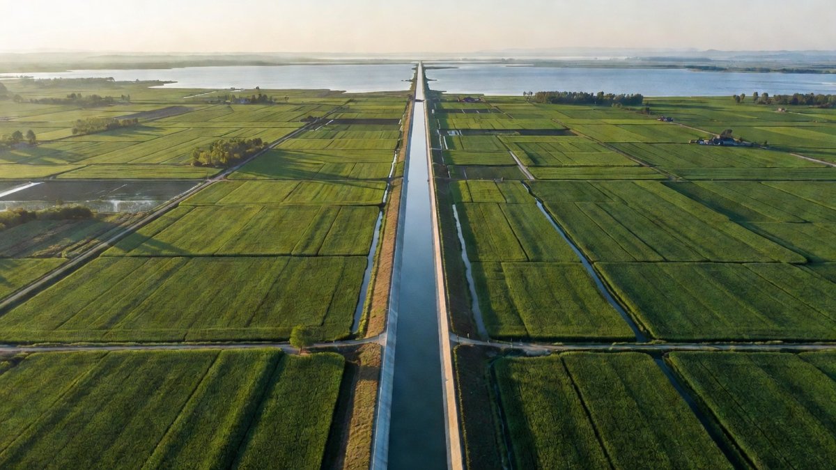
These transfers have supported drought relief, expanded irrigation for food security, and created additional capacity for urban development in water-stressed zones that hold less than 10 percent of China's total water resources yet sustain over 30 percent of its population. The cumulative volume has given planners measurable headroom to accommodate industrial growth without resorting to rationing.
By easing chronic shortages below the UN absolute water scarcity threshold, the transfers have provided drought buffers that stabilize agricultural output and reduce emergency groundwater extraction. These outcomes directly inform the 15th Five-Year Plan's emphasis on resource allocation as a prerequisite for sustained urbanization and food security.
Industrial zones in Hebei and surrounding areas gain reliable supply that supports relocation of manufacturing capacity northward, illustrating how quantified water security translates into spatial economic rebalancing.
Water Quality Standards and Groundwater Recovery
Water quality along the middle route has remained at Class II or above throughout its operation. This consistency has reversed decades of groundwater decline in northern areas and restored river and lake ecosystems previously degraded by over-extraction.
State media framing positions these outcomes as core elements of national water security, aligning with resource allocation priorities outlined in the opening phase of the 15th Five-Year Plan period from 2026 to 2030.
Historical Roots and Mao-Era Strategic Vision
The concept originated with Mao Zedong's 1952 observation during a Yellow River inspection that southern water abundance could be redirected northward. This vision evolved into the current three-route system, with the eastern route operational since November 2013 and the western route still in planning.
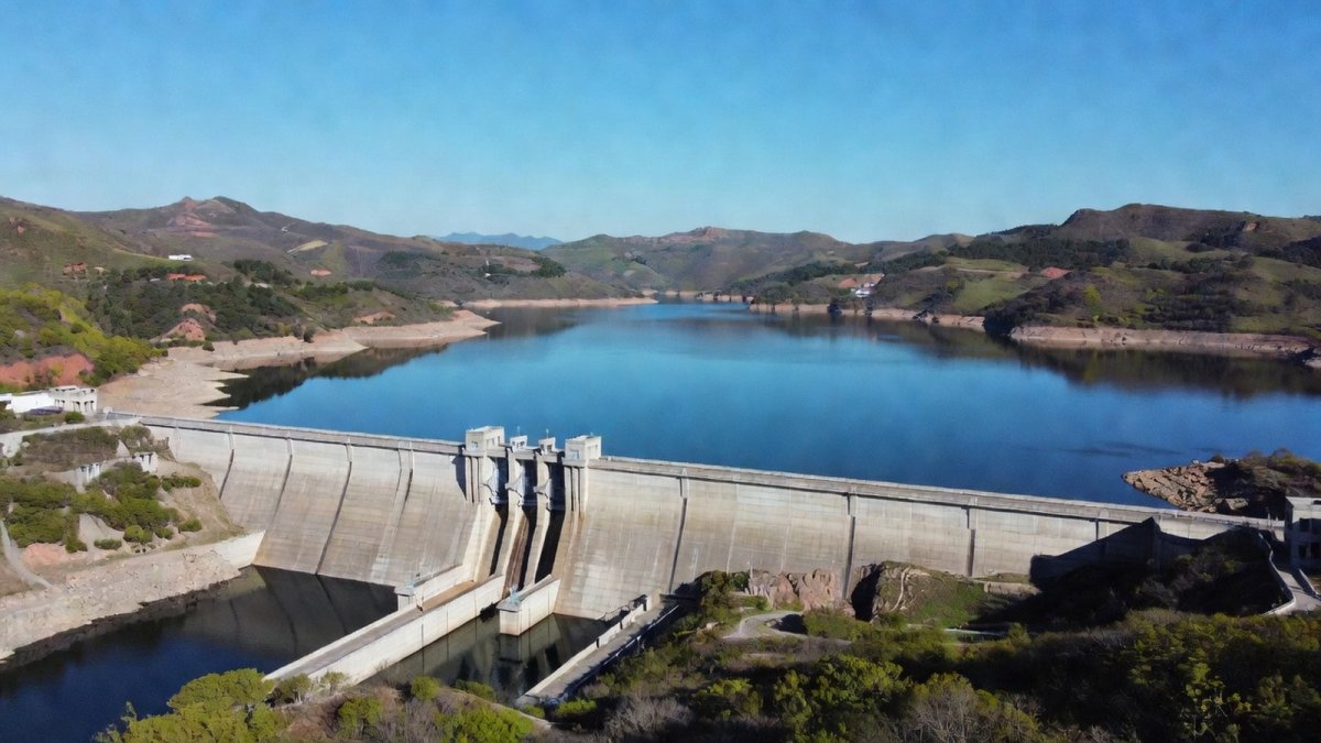
The middle route's December 2014 start marked the beginning of sustained transfers that have alleviated absolute water scarcity conditions once prevalent in recipient regions according to United Nations criteria.
Mao's 1952 proposal initiated a planning horizon spanning more than seven decades, during which successive leaderships refined inter-basin concepts into executable policy. This continuity demonstrates the Chinese state's institutional ability to sustain mega-projects across political generations despite shifting economic priorities.
The project's integration into the current Five-Year Plan cycle, which opened in 2026, extends this Mao-era vision into contemporary resource governance, framing water allocation as an enduring instrument of state planning rather than a reactive response to scarcity.
The social ledger is not without costs. Expanding the Danjiangkou Reservoir required resettling hundreds of thousands of residents from Hubei and Henan, a reminder that hydraulic mega-projects concentrate short-term burdens on local communities even as they distribute long-term benefits across regions and generations. That trade-off, documented in successive official and independent accounts, remains part of the project's contested legacy.
Integration with Domestic Development Strategies
By channeling water from the water-rich south, the project supports balanced regional development and reinforces food security across the North China Plain. It also facilitates industrial layout adjustments that reduce pressure on southern basins while enabling northern growth centers to expand without chronic shortages.
These domestic gains reflect Beijing's broader doctrine of optimizing resource distribution to sustain high-quality development amid population and economic concentrations in arid zones.
The economic logic is equally deliberate. By pricing diverted water to reflect scarcity rather than treating it as a free public good, Chinese planners are building incentives for northern industry to adopt water-efficient technologies — a quiet but consequential shift in how the state manages one of its most constrained resources. It is a reminder that the project is as much an instrument of economic governance as it is an engineering achievement.
Global Infrastructure Resonance and Engagement with the Global South
The project's scale as the world's largest inter-basin transfer initiative carries implications beyond China's borders. Similar water infrastructure models have appeared in China's partnerships across Africa and Central Asia, positioning such transfers as tools for regional influence and multilateral cooperation.
Second-order effects extend into ASEAN and EU dialogues on sustainable development, where China can present the project as evidence of scalable state-led solutions to scarcity — an implicit contrast with the fragmented, often underfunded approaches favored by Western development finance. This aligns with Dual Circulation objectives by securing internal resilience that underpins external projection.
China's inter-basin transfer experience supplies a technical template for similar schemes under discussion in Central Asia and parts of Africa, where water-stressed regions seek comparable engineering solutions. This diffusion positions domestic infrastructure achievements as exportable models within Beijing's broader engagement strategy.
Unlike India's Narmada project or Israel's National Water Carrier, which operate at smaller scales and different governance contexts, the South-to-North system demonstrates centralized coordination of multiple river basins, offering lessons in financing and sequencing that resonate with Global South planners facing parallel imbalances.
By embedding water infrastructure within diplomacy, China links internal resilience to external projection, using proven transfer technologies to deepen partnerships that reinforce its role as a provider of large-scale hydraulic solutions.
Strategic Implications and What to Watch
For observers of Chinese statecraft, the middle route's 80-billion-cubic-meter milestone is best read as a statement of institutional continuity: a project conceived under Mao in 1952, refined across seven decades, and now embedded in the planning framework that opened in 2026. For Chinese planners, water has become infrastructure, diplomacy, and food security rolled into one.
The most consequential developments will unfold in the project's own unfinished components. The eastern route's phased expansion, the western route's long-delayed planning stage, and the pricing of diverted water for industrial users are the variables most worth tracking in the years ahead. Each will test whether Beijing can sustain the financing and political will that a seven-decade hydraulic program demands.
By Prof. Marcus Chen, Staff WriterThis article was produced with AI-assisted research and editorial support. Reporting is based on sources cited in the article.
What's Your Reaction?
 Like
0
Like
0
 Dislike
0
Dislike
0
 Love
0
Love
0
 Funny
0
Funny
0
 Wow
0
Wow
0
 Sad
0
Sad
0
 Angry
0
Angry
0

World Politics Analyst at Global1.News. Based in Beijing, covering US-China relations, global trade, and geopolitical strategy. Brings deep analytical perspective to the power dynamics shaping international affairs.














Comments (0)