
Panama Rocked by Magnitude 7.7 Earthquake as Tsunami Warnings Stretch Along Nine Pacific Coasts
A magnitude 7.7 earthquake struck southern Panama near Pitaloza Arriba on Friday, damaging buildings in Penonomé and prompting tsunami warnings along nine Pacific coasts. No casualties had been reported.
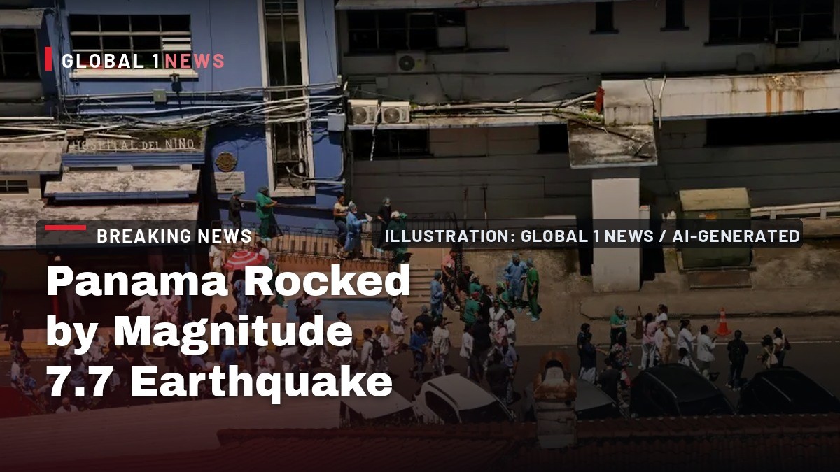
Southern Panama shook just before one o'clock this afternoon, and within minutes the alerts were moving faster than the ground itself. A magnitude 7.7 earthquake struck Herrera province, and tsunami warnings went up along nine coastlines. No casualties had been reported. But millions of people felt it, buildings came down in the interior, and a country three days from its own earthquake drill is now living one.
Panama Rocked by Magnitude 7.7 Earthquake as Tsunami Warnings Stretch Along Nine Pacific Coasts
Panama City, Panama — The ground moved just before one in the afternoon, and the warnings that followed reached from Panama to Mexico.
The Ground Moved Just Before One in the Afternoon
Folks, here is what we know about the timing, and it is not as simple as it sounds. The Pacific Tsunami Warning Center bulletin, issued at 1831 UTC, put the origin time at 1756 UTC on 9 October 2026. That translates to 12:56 p.m. Panama time — shortly before one in the afternoon. The BBC, however, described the quake as hitting "just before 15:00 local time (18:00 GMT)." Those two local-time accounts do not match, and we are holding both of them out for you rather than picking one. What is not in dispute is the date: Friday, 9 October 2026, a powerful earthquake in southern Panama. The PTWC bulletin carried a preliminary magnitude of 7.6 and was explicitly marked "revised magnitude." The United States Geological Survey would move that number twice more before settling. What residents felt in the moment was a single, violent shake — and then the sirens, the alerts, and the scramble to higher ground.
A Warning Along Nine Coasts
The US Tsunami Warning System, run by the National Weather Service, issued tsunami warnings or forecasts for Panama, Colombia, Ecuador, Nicaragua and Guatemala, according to Reuters via Dawn and Al Jazeera. It warned that hazardous waves were possible along parts of the coasts of Panama, Colombia, Costa Rica, Ecuador, Peru, Nicaragua, Guatemala, El Salvador and Mexico within three hours. The PTWC forecast tsunami waves reaching 1 to 3 metres above tide level along some coasts of Panama, and 0.3 to 1 metre for some coasts of Ecuador. For Chile, Colombia, Costa Rica, El Salvador, Guatemala, Honduras, Mexico, Nicaragua and Peru, the forecast was less than 0.3 metres. The system also said there was a tsunami threat to Hawaii, and Chile's naval Hydrographic and Oceanographic Service issued its own tsunami warning. To be clear: that 1-to-3-metre figure is a forecast, not a measurement. At the time of writing, no tsunami had been confirmed as damaging.
Where the Quake Struck
The epicentre sat about 10 kilometres — six miles — southwest of the remote community of Pitaloza Arriba, also known as La Pitaloza, in Herrera province, in south-central Panama near the Pacific coastline. One USGS description placed it 12 kilometres west-southwest of Pitaloza Arriba. Volcanodiscovery located it in Provincia de Herrera, 62 kilometres south of Santiago, in Veraguas. The PTWC coordinates were 7.5 north, 80.8 west. Now the depth, and here the agencies diverge. The Associated Press reported USGS put it at 10 kilometres, or six miles. One USGS description placed it seven miles — about 11 kilometres — deep. Reuters via Dawn reported 12.6 kilometres, or 7.8 miles. The BBC said 12 kilometres. Shallow depth intensifies surface shaking, and every one of those figures is shallow. The USGS estimated about 4.6 million people felt moderate to severe shaking and said effects were "likely to be widespread." Panama's population is around 4.5 million.
The First Damage Reports From the Interior
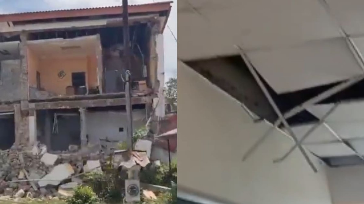
Damage was concentrated in the central provinces of Veraguas, Herrera and Los Santos, according to Omar Smith of Panama's National Civil Protection Service, speaking via Telemetro Reporta. In Penonomé — a city roughly halfway between the epicentre and Panama City, about 70 miles out — the tower of a historic building collapsed and several balconies of a residential building came down, per La Prensa videos cited by Dawn and Al Jazeera. CNN verified footage showing a church with a partially collapsed steeple and another building with a crumbled facade. Spanish-language reports identify those buildings as the Catedral de San Juan Bautista and the Gobernación, the governor's office. That identification comes from Spanish-language reporting, not from an English wire. In Soná, footage shared online — not verified by the BBC — appears to show collapsed buildings. Television images showed elderly residents reduced to tears in the streets as weaker aftershocks rattled the country, Reuters via Dawn reported.
Panama City Felt It From 200 Kilometres Away
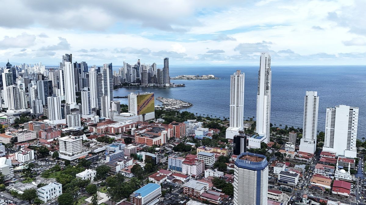
Two hundred kilometres is a long way to feel a building move. Panama City felt it anyway. Many people evacuated from buildings, according to AFP, and in the old banking district several buildings were evacuated as a precaution. A maternity ward in the capital was among the buildings evacuated during the tremors, the BBC reported. Omar Smith said there were no reports of damage in the capital. The shaking travelled further still: a Reuters witness felt it in San José, the capital of neighbouring Costa Rica, and tremors were felt in neighbouring Colombia. In Herrera province, closest to the epicentre, the accounts came by phone. Ricardo Brown, 74, told reporters from the Las Minas area: "We're scared. It's just the two of us old folks here. The house has cracked, and we're afraid it could fall on us." Rosendo Dominguez, 60, from Herrera province, told the Associated Press: "We felt it very strongly. It knocked things over in the kitchen, but we're okay, though we're very scared." He added: "Everyone is outside, scared."
The Canal Kept Working
Here is the piece of good news in this hour. The Panama Canal Authority said the waterway was operating normally, according to Reuters via Dawn and investing.com. That matters far beyond Panama's borders — but it is also a single thread of normalcy in a day that has disrupted almost everything else. Panama City Metro service on two lines was temporarily suspended for safety reasons, and passengers were evacuated from some stations. Nationwide, Panama's Ministry of Education ordered schools closed and cancelled classes for the rest of the day. All administrative offices and schools suspended operations, per the president's office. Panama's main international airport was temporarily closed as a precaution, local media reported. President José Raúl Mulino called for calm. On X, he wrote: "What happened should not be used to cause alarm or disorder." He instructed the minister of government to provide information on the earthquake's effects. His office said more than a dozen aftershocks had been recorded since the quake struck, including a powerful magnitude-6 tremor near the epicentre.
A Country Three Days Short of Its Own Drill
Folks, hold this detail for a moment. Panama had been due to hold a national evacuation drill on Monday next week — three days after this quake — to test emergency response capabilities for earthquakes. That drill was scheduled before anyone knew what Friday afternoon would bring. It has not happened yet. The earthquake did. Earthquakes of this magnitude are rare in Panama, where seismic events are more commonly associated with the western province of Chiriquí, according to WION. The quake follows devastating earthquakes in Colombia and Venezuela earlier this year; the BBC noted that context, and Al Jazeera referenced twin quakes that hit northern Venezuela in June. This is a region that has already been through it in 2026. Now southern Panama has, too — and the country's own test of readiness sits on the calendar, three days out, waiting.
The Magnitude That Kept Changing
If you saw three different numbers today, you were not imagining it. The USGS initially reported the quake as magnitude 8, then revised it to 7.6, and later to 7.7 — that final figure is the USGS number, per the Associated Press via infonews.ca. The PTWC bulletin carried a preliminary magnitude of 7.6 and was marked "revised magnitude." So the agencies did not agree in real time, and they did not agree with each other at every stage. This is normal in the first hours of a major seismic event, and it is why we are giving you the sequence rather than a single clean figure. The depth estimates diverged the same way: 10 kilometres per AP, 12.6 kilometres per Reuters via Dawn, 12 kilometres per the BBC, and one USGS description at seven miles. What did not change: the location, the date, and the fact that a shallow quake struck near a populated coastline. Those held.
What Is Still Unknown
Let us be precise about the limits of what we can tell you. No casualties had been reported at the time of writing. The BBC said it did not know "whether there have been any casualties," and no outlet had reported any by our deadline. That is not the same as zero — it means no reports had reached authorities or newsrooms by our deadline. No death toll, no injury count, no missing-persons figure. No confirmed tsunami run-up and no measured wave heights at any coast; the 1-to-3-metre figure remains a forecast. No state of emergency has been declared, no disaster declaration issued, no international aid appeal made. No agency has named the fault that ruptured. The USGS has said some casualties are possible and extensive damage is probable — that is a projection, not a count. And the Catedral de San Juan Bautista and Gobernación identifications rest on Spanish-language reporting, not an English wire. We are telling you what we know and flagging what we do not.
What Happens Next
So watch three things. First, the aftershocks — the president's office says more than a dozen have already been recorded, including a magnitude-6 tremor, and aftershocks near the epicentre can continue. Second, the coastlines: the tsunami warnings and forecasts remain in effect for Panama, Colombia, Ecuador, Nicaragua, Guatemala and others, with initial wave arrival estimates already logged by the PTWC. Those are arrival estimates, not impact reports. Third, Monday — the national evacuation drill Panama had already scheduled, now arriving three days after the real thing. Damage assessments in Veraguas, Herrera and Los Santos are ongoing. The Canal is running. The capital reports no damage. And the numbers — casualties, wave heights, the full picture from the interior — are still coming in. We will bring them to you as they are confirmed. Stay with Global1.News.
By Jessica Ali, Staff Writer
This article was produced with AI-assisted research and editorial support. Sources: BBC, the Associated Press (via newsday.com, infonews.ca and Al Jazeera), Reuters (via dawn.com and investing.com), Al Jazeera, CNN, WION, thedeepdive.ca, beinsure.com, Volcanodiscovery, and the NOAA/NWS Pacific Tsunami Warning Center (tsunami.gov).
What's Your Reaction?
 Like
0
Like
0
 Dislike
0
Dislike
0
 Love
0
Love
0
 Funny
0
Funny
0
 Wow
0
Wow
0
 Sad
0
Sad
0
 Angry
0
Angry
0

Editor-in-Chief at Global1.News. Atlanta-based journalist who cuts through the BS and tells it like it is. Lead anchor, host, and the voice you hear when the spin stops and the truth starts.












Comments (0)