
Metro Manila Floods: Red Rainfall Warning, La Mesa Dam Spill and Mass Evacuations as Habagat Batters the Capital
The Southwest Monsoon, known locally as Habagat, has turned Metro Manila into a gridlocked, waterlogged obstacle course. On Saturday, August 29, 2026, the capital region of the Philippines found itself under the highest weather alert as relentless rain triggered mass flooding, forced evacuations, and pushed critical waterways past their breaking points. This is not a drill; this is the reality of a megacity of 13 million people battling a sky that will not stop opening up.
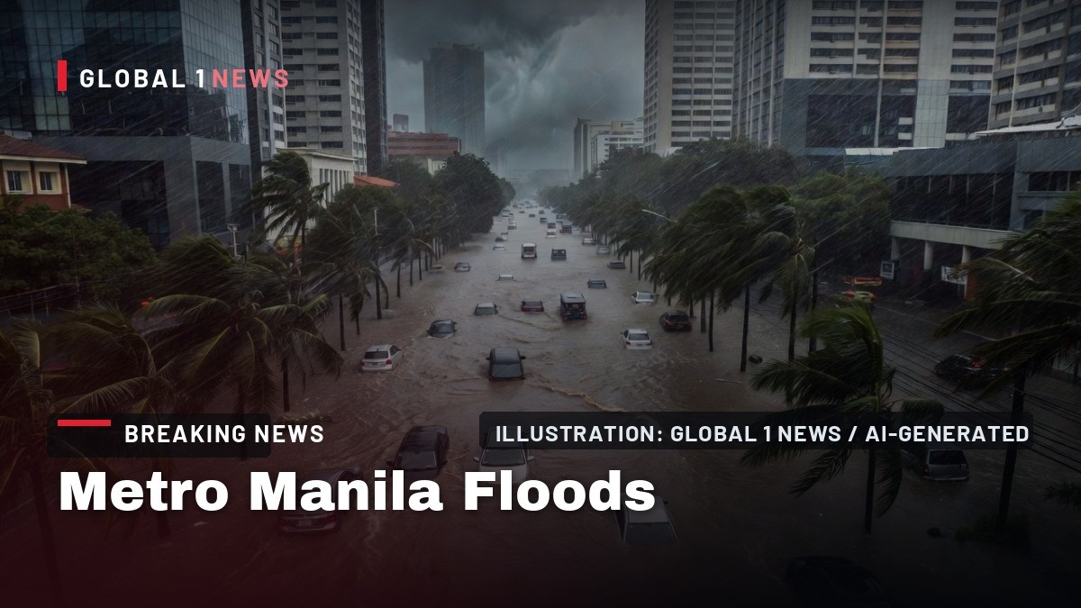
The Southwest Monsoon, known locally as Habagat, has turned Metro Manila into a gridlocked, waterlogged obstacle course. On Saturday, August 29, 2026, the capital region of the Philippines found itself under the highest weather alert as relentless rain triggered mass flooding, forced evacuations, and pushed critical waterways past their breaking points. This is not a drill; this is the reality of a megacity of 13 million people battling a sky that will not stop opening up.
Red Alert Over the Capital
The Philippine Atmospheric, Geophysical and Astronomical Services Administration (PAGASA) pulled the trigger early on Saturday morning, raising a Red Rainfall Warning—the highest alert level in the country’s severe weather classification—over Metro Manila and several provinces in Luzon. The warning was first hoisted around 11 a.m., a signal that the situation was deteriorating rapidly and that serious flooding was not just possible, but imminent in flood-prone areas. By 5:00 p.m., the agency had issued Heavy Rainfall Warning No. 17, which remained in effect, covering a massive swath of the island. The warning specifically named Zambales, Tarlac, Pampanga, Bataan, Bulacan, Metro Manila, Rizal, Cavite, and parts of Batangas, including the municipalities of Nasugbu, Lian, Tuy, Balayan, and Calatagan. For the uninitiated, a Red warning means that the downpour is not a passing shower; it is a sustained deluge that overwhelms drainage systems and turns streets into rivers. For ordinary commuters and families in low-lying barangays, it means one thing: get to higher ground or prepare to wade.Streets Under Water
The Metropolitan Manila Development Authority (MMDA), the agency tasked with keeping the capital moving, reported that flooding had hit at least seven cities in Metro Manila by Saturday morning. The agency’s traffic arm was scrambling to reroute vehicles as the downpour turned major thoroughfares into parking lots. While the MMDA noted that most affected roads remained passable, several were not, forcing motorists to abandon their routes and seek alternatives that often did not exist. The situation in Malabon City, a coastal and low-lying city north of Manila, was particularly dire. As of 1 p.m., the city government was monitoring 14 flooded areas. In Barangays Catmon, Sitio 6, and Tanong, the water near the F. Sevilla Central Market was reported at around 10 inches deep—enough to stall small cars and make walking a soggy, hazardous affair. These areas were declared not passable to light vehicles, effectively cutting off access for residents who needed to evacuate or secure supplies. The flooding here is not an anomaly; it is a chronic condition exacerbated by the monsoon, high tides, and the city’s geography, but that does not make it any less dangerous for the families who have to live through it.La Mesa Dam Breaches Its Spilling Level
The most critical infrastructure development of the day came from Quezon City, where La Mesa Dam—the primary reservoir for Metro Manila’s water supply—breached its spilling level on Saturday afternoon. PAGASA recorded the dam’s water level at 80.15 meters as of 1:50 p.m., surpassing the point where it can no longer hold back the influx of rainwater. When a dam spills, it is not a failure of the structure; it is a controlled release of excess water that must go somewhere. In this case, that "somewhere" is the Tullahan River. PAGASA issued an explicit warning to low-lying communities along the river’s path: the excess floodwaters are flowing directly into the Tullahan River, and the water has to go through you to get out to sea. The affected areas named in the advisory include the cities of Caloocan, Malabon, and Navotas, as well as specific communities in Quezon City such as Fairview, Forest Hills Subdivision, Quirino Highway, and Sta. Quiteria. The Quezon City local government unit did not wait for the water to arrive; they urged residents near the Tullahan River to evacuate immediately. This is the reality of urban flooding—the water does not just fall from the sky; it is channeled through the city’s arteries, and when those arteries overflow, the neighborhoods along them bear the brunt.Marikina River and Rizal Communities on Alert
To the east, the Marikina River was also staging a crisis. The river, which runs through the densely populated Marikina City and into Rizal province, rose to 15.0 meters on Saturday. That reading triggered the first alarm from the local government, a protocol that signals residents in low-lying areas to prepare for possible evacuation. The Marikina River is notorious for its rapid rise; it is fed by the watersheds of the Sierra Madre mountains, and when the rain is heavy upstream, the river can swell from a trickle to a torrent in a matter of hours. Across the river in Taytay, Rizal, the Disaster Risk Reduction and Management Office (DRRMO) was not waiting for the water to reach their doorsteps. They monitored flood-prone and low-lying areas, including Barangay Muzon, and implemented preemptive evacuation. This is the lesson learned from past typhoons and monsoon seasons: do not wait for the water to rise to your chest before you decide to leave. The preemptive evacuation is a logistical headache for authorities, but it is a life-saving measure that has become standard practice in the region. For the residents of these barangays, it means packing up their belongings, securing their homes, and moving to designated evacuation centers—often schools or gymnasiums—where they will wait out the storm.A Brutal Monsoon Season by the Numbers
This weekend’s flooding is not an isolated incident; it is the latest chapter in a brutal 2026 monsoon season that has already left a trail of destruction across the archipelago. According to data from the National Disaster Risk Reduction and Management Council (NDRRMC) and reporting from the Philippine News Agency (PNA), the Habagat, enhanced by tropical cyclones Luis and Maymay in early August, has been relentless. Those early August storms alone left at least 8 people dead and affected around 486,000 individuals across eight regions. The numbers are staggering. At the peak of that early August event, there were 119 active evacuation centers housing approximately 2,500 families, or about 8,300 individuals. The storms and monsoon damaged 170 houses, with 13 totally destroyed and 157 partially damaged. The economic toll was equally severe: infrastructure damage was estimated at PHP105.5 million, while agricultural losses reached PHP3.5 million. For a country that relies heavily on agriculture and has limited fiscal flexibility, these are not just numbers on a spreadsheet; they represent lost livelihoods, ruined crops, and roads and bridges that need repair. The situation has only worsened since then. By August 26, just three days before this latest flooding event, the combined death toll from the storms and the monsoon had risen to 31. The number of evacuation centers had ballooned to 346, assisting 8,446 families, or 28,910 persons. The damage to houses had also climbed, with approximately 2,700 homes damaged across the affected regions. This is the context for Saturday’s flooding: the ground is already saturated, the rivers are already high, and the people are already exhausted. The rain on Saturday did not just fall on dry ground; it fell on a region that was already drowning.What Comes Next
As of Saturday evening, the monsoon shows no signs of letting up. PAGASA’s warnings remain in effect, and the heavy rainfall warning system is still active for the provinces surrounding the capital. The immediate concern is the continued rise of waterways and the potential for more evacuations as the night wears on. The La Mesa Dam situation will be closely monitored; if the water level continues to rise, the spillway will release more water into the Tullahan River, exacerbating flooding downstream in Caloocan, Malabon, and Navotas. For the global audience watching this unfold, it is important to understand that this is not a freak event. The Southwest Monsoon is a seasonal weather pattern that brings rain to the Philippines from June to October. But climate change is supercharging these events, making them more intense and less predictable. The rain that fell on Saturday is the kind of rain that overwhelms infrastructure designed for a different era. The drainage systems in Metro Manila are old, clogged with garbage, and simply not equipped to handle the volume of water that modern weather patterns are producing. The immediate priority for authorities is search and rescue, and ensuring the safety of those in evacuation centers. The medium-term priority will be the massive cleanup and damage assessment. But the long-term question remains: how does a megacity like Metro Manila adapt to a reality where the Habagat is no longer a nuisance but a lethal threat? The answer is not simple, and it will require massive investment in infrastructure, urban planning, and disaster preparedness. For now, the residents of Malabon, Quezon City, Marikina, and Taytay are doing what they have always done: they are watching the water, listening to the warnings, and hoping that the rain stops before it takes everything they have.By Jessica Ali, Staff Writer
This article was produced with AI-assisted research and editorial support. Sources: PAGASA, Metropolitan Manila Development Authority (MMDA), Philippine News Agency (PNA), Manila Times, Manila Standard, Philstar.com, GMA News, Inquirer.net, NDRRMC.
What's Your Reaction?
 Like
0
Like
0
 Dislike
0
Dislike
0
 Love
0
Love
0
 Funny
0
Funny
0
 Wow
0
Wow
0
 Sad
0
Sad
0
 Angry
0
Angry
0

Editor-in-Chief at Global1.News. Atlanta-based journalist who cuts through the BS and tells it like it is. Lead anchor, host, and the voice you hear when the spin stops and the truth starts.















Comments (0)