
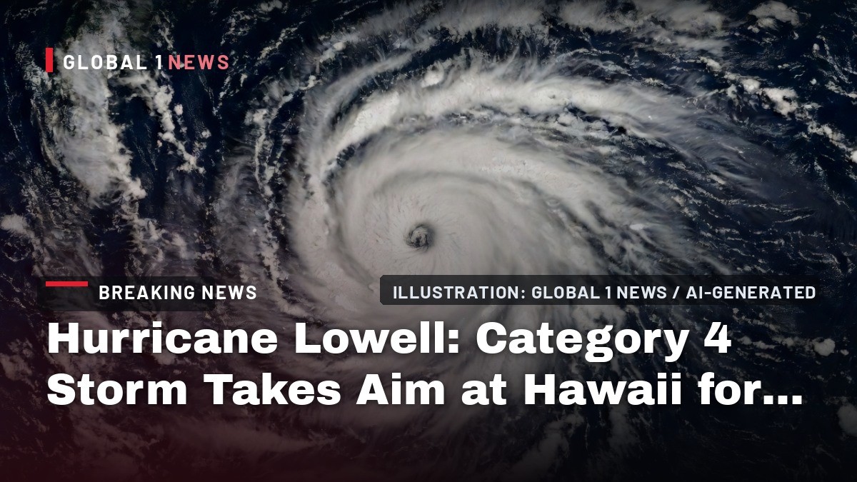
Hurricane Lowell: Category 4 Storm Takes Aim at Hawaii for Labor Day
Folks, let’s get one thing straight right out of the gate: Hawaii is not in the clear just because Hurricane Lowell is still churning hundreds of miles offshore. The latest forecast tracks have this powerful storm making a sharp, dangerous turn toward the westernmost islands of the Aloha State, and forecasters say hurricane watches could go up as soon as Saturday. The window for final preparations is closing fast.
Folks, let’s get one thing straight right out of the gate: Hawaii is not in the clear just because Hurricane Lowell is still churning hundreds of miles offshore. The latest forecast tracks have this powerful storm making a sharp, dangerous turn toward the westernmost islands of the Aloha State, and forecasters say hurricane watches could go up as soon as Saturday. The window for final preparations is closing fast.
Hurricane Lowell: Category 4 Storm Takes Aim at Hawaii for Labor Day
Honolulu, Hawaii — Saturday, September 5 — A powerful Category 4 hurricane is bearing down on the Hawaiian Islands after forecasters detected a shift in the steering currents that could carry it near or just west of Kauai and Niihau late Monday into early Tuesday. The National Hurricane Center and the Central Pacific Hurricane Center in Honolulu say Hurricane Lowell had maximum sustained winds of 155 mph with higher gusts and a minimum central pressure of 925 millibars as of the latest advisory early Saturday. The storm is centered near 13.3 degrees north latitude and 161.9 degrees west longitude, roughly 600 miles south of Kauai, and is moving west near 7 mph — but that westward march is not expected to last. A mid- to upper-level low digging south of the island chain is forecast to erode the ridge steering Lowell, forcing the hurricane to turn sharply north or north-northeast this weekend and accelerate toward the westernmost main Hawaiian Islands. This is not a drill, and this is not a storm to gamble with.
The Storm Right Now: A Powerful Machine Over Warm Water
Satellite imagery continues to show an impressive hurricane with a very warm eye surrounded by a symmetric eyewall, though forecasters note the eye has become slightly more ragged in recent hours. Data from an Air Force Reserve Hurricane Hunter aircraft indicate the central pressure has risen slightly to 925 mb, with maximum flight-level winds decreasing to 141 kt. This supports the current intensity of 135 kt, or about 155 mph, keeping Lowell a solid Category 4 hurricane on the Saffir-Simpson scale.
Hurricane-force winds extend up to 45-50 nautical miles from the center, while tropical-storm-force winds reach out much farther, up to 140-150 nautical miles. This is a large and dangerous system. The storm is currently moving over very warm waters with high oceanic heat content, and the environmental conditions—including weak vertical wind shear and a moist atmosphere—are favorable for Lowell to maintain much of its strength over the next 12 to 24 hours. The forecast from NOAA suggests it could even restrengthen slightly, with maximum winds potentially reaching 140 kt (about 160 mph) by Saturday evening before a gradual weakening trend begins. But do not be fooled by the word "weakening"—this storm is forecast to remain a powerful major hurricane as it approaches the islands.
The Forecast Track: A Sharp, Dangerous Turn North
Here is where the situation becomes critical for Hawaii. Lowell is currently being steered westward by a mid-level ridge to its north. However, that steering pattern is expected to change dramatically on Sunday. A mid- to upper-level low is forecast to move south and southeastward to the north of the Hawaiian Islands, eroding the southern portion of that ridge. This will act like a giant atmospheric roadblock, forcing Lowell to make a sharp turn to the north or north-northeast and accelerate.
The latest track forecast from the National Hurricane Center brings the center of Lowell near or just west of the westernmost main Hawaiian Islands—specifically Kauai County and Niihau—late Monday into early Tuesday, which falls on September 7-8. The forecast track lies between the simple consensus models and the Google DeepMind ensemble mean, which continues to forecast a close pass to Kauai. There remains some uncertainty in exactly where and how sharply Lowell makes this turn, which will depend on the location and amplitude of the mid- to upper-level low. However, the guidance envelope has made a westward shift, seemingly due to a delayed northward turn, which places the core of the hurricane dangerously close to land. By late Monday, when it is projected to be just west of Niihau, Lowell is still expected to have maximum sustained winds of 115 mph, making it a major Category 3 hurricane.
Why This Is Unusual: El Nino, Warm Water, and a Rare Pacific Outbreak
Let’s be clear about the context here, folks. Direct hurricane landfalls in Hawaii are rare. The islands are typically protected by cooler surrounding waters and prevailing steering patterns that push storms away. But we are not in a typical year. A rapidly strengthening El Nino has pushed ocean temperatures to historic highs across the Pacific basin, fueling an extremely rare and active outbreak of tropical systems. As of this week, three hurricanes were spinning simultaneously across the central and eastern Pacific: Lowell, Karina, and Marie off the coast of Mexico.
This is an extraordinary setup. Hurricane Karina, which is currently weakening far to the east of Hawaii, is actually poised to have an influence on Lowell’s track by helping to erode the steering ridge. The atmospheric and oceanic conditions are conducive for Lowell to maintain its intensity or even strengthen, and forecasters noted it seems likely Lowell would restrengthen back to a Category 4 during the period. The combination of record-warm ocean waters and a favorable atmospheric environment during this El Nino event is providing the fuel for these storms to not only exist but to thrive in a region where they are relatively uncommon. This is a stark reminder that the Pacific is not immune to major hurricane threats, and the science is telling us these events may become more frequent.
What the Impacts Could Be: Surf, Rain, and Wind
Even if the exact track of the center remains uncertain, the impacts are going to be felt across the island chain, and they will be severe. The National Hurricane Center’s key messages are clear: there is a risk of storm surge, wind, and rainfall impacts for portions of Hawaii, particularly Kauai County, early next week. Let’s break down what that means for you on the ground.
First, the surf. Swells from Lowell are likely to cause life-threatening surf and rip current conditions in portions of the Hawaiian Islands during the next several days. These swells are likely to increase early next week, with coastal advisories already in effect and waves of up to 14 feet expected this weekend. As the storm approaches, offshore seas are forecast to reach 15 feet or more overnight Monday. Michael Lowry, a hurricane specialist, warned that the large extra-high surf will likely affect harbor entrances, channels, and coastal properties and infrastructure, including roadways, through early next week. This is not a day to be on the water or near the shoreline.
Second, the rain. Heavy rainfall associated with Hurricane Lowell will begin to impact the Hawaiian Islands Sunday afternoon and continue through early next week. Periods of heavy rain may produce flash flooding and mudslides, especially in areas of steep terrain. Forecasts indicate parts of Kauai could receive 5-8 inches of rain, with localized totals approaching a foot. That is a tremendous amount of water in a short period, and the risk of dangerous, fast-moving flash floods is very high.
Finally, the wind. Tropical-storm-force winds are expected to impact Kauai from Monday night through early Tuesday morning before gradually diminishing by Tuesday evening. Given the storm’s forecast intensity, hurricane-force wind gusts are also possible if the center tracks closer to the island. Power outages are likely, and property damage is a real concern.
Kauai on Alert: Preparations and the Ghost of Iniki
All eyes are on Kauai County, and for good reason. This is the focus of the threat, and residents are not taking any chances. Hawaii News Now reports that Kauai residents are already stocking up on emergency supplies and preparing for potential power outages with Hurricane Lowell forecast to near the island chain over the Labor Day weekend. This is the exact behavior officials want to see, because the window to prepare is closing.
The anxiety on the island is palpable, and it is rooted in history. Hurricane Iniki in September 1992 was the most destructive hurricane in modern Hawaii history. It was a Category 4 storm that struck Kauai directly, killing six people, destroying more than 1,400 homes, and causing billions of dollars in damage. The parallels are not lost on forecasters, who note the eerily similar track. FOX Weather pointed out that Lowell’s potential path is reminiscent of that historic storm. While every storm is different, the memory of Iniki serves as a stark and urgent reminder of what a major hurricane can do to this island. The preparations need to be serious, and they need to happen now. As one official put it, this may be the last meaningful window to secure property and finalize plans before conditions rapidly deteriorate.
What Happens Next: Watches, Timeline, and the Labor Day Weekend
Let’s lay out the timeline for you so there is no confusion about what is coming and when. The National Hurricane Center has stated that hurricane watches will likely be issued for portions of Hawaii on Saturday. This is your cue to finalize your plan. The next 48 hours are critical.
Here is the hour-by-hour breakdown of the threat. Saturday: Lowell will begin its dramatic turn north, placing the western Hawaiian Islands squarely in its path. The hurricane is forecast to remain an extremely dangerous major hurricane. By Saturday afternoon, Lowell’s center will still be more than 600 miles south of Kauai, but Hawaii will already begin feeling the storm’s reach as dangerous surf starts building across the islands. Sunday: Lowell will likely be moving north and slowly weakening into a Category 4 or strong Category 3 hurricane. Ahead of the storm, increased tropical moisture will usher in showers and thunderstorms across much of the island chain. Monday: Lowell makes its closest approach. This is the day of greatest concern, with the potential for tropical storm-forced wind gusts and the core of the hurricane passing near or just west of Kauai. Tuesday: Lowell pulls away, but hazards linger, including the threat of flash flooding and continued high surf. The Central Pacific hurricane season runs through November 30th, but this Labor Day weekend is shaping up to be one for the record books.
How to Prepare Now: Official Advice for Residents and Visitors
There is no more time for complacency. The Central Pacific Hurricane Center and local officials are urging everyone to take this seriously. For residents, this means ensuring you have your hurricane plan in place and your supply kit stocked — emergency managers in Hawaii recommend enough non-perishable food and water for at least 14 days, along with medications, flashlights, batteries, a battery-powered or hand-crank radio, and important documents in a waterproof container. Secure loose outdoor items that could become projectiles in high winds. Fill your car’s gas tank and have cash on hand, as ATMs and credit card machines may not work during power outages.
For visitors, this is not a vacation to ride out. Heed the advice of local officials and your hotel staff. If you are on Kauai, be prepared to shelter in place or evacuate if ordered. Do not go to the beach to watch the waves—this is life-threatening surf. The message from the National Hurricane Center is direct: "Interests in Hawaii should continue to closely monitor the progress of Lowell through the upcoming Labor Day weekend, listen to the advice of local officials, and ensure they have their hurricane plan and supply kit in place." This is not a test. The time to act is now, before the winds pick up and the roads become impassable.
Folks, this is a serious situation. We have a powerful Category 4 hurricane with a history-making potential track aimed at one of the most beautiful, and vulnerable, places on Earth. The science is clear, the models are in agreement on the overall setup, and the time for preparation is now. Do not wait for the watch to become a warning. Do not wait for the rain to start falling. Take the necessary steps to protect yourself, your family, and your property. We will be here monitoring this storm around the clock, bringing you the latest information as it develops. Stay safe, stay informed, and look out for one another. That is how we get through this—together.
By Jessica Ali, Staff Writer
This article was produced with AI-assisted research and editorial support. Sources: National Hurricane Center/Central Pacific Hurricane Center (NOAA), FOX Weather, Honolulu Star-Advertiser, Hawaii News Now.
What's Your Reaction?
 Like
0
Like
0
 Dislike
0
Dislike
0
 Love
0
Love
0
 Funny
0
Funny
0
 Wow
0
Wow
0
 Sad
0
Sad
0
 Angry
0
Angry
0

Editor-in-Chief at Global1.News. Atlanta-based journalist who cuts through the BS and tells it like it is. Lead anchor, host, and the voice you hear when the spin stops and the truth starts.












Comments (0)