
Madhya Pradesh's Snake Census: 50 Species, 16 Bite Hotspots, Race To Map Deadliest Reptiles
In the dense teak forests of Madhya Pradesh, a quiet revolution in public health surveillance is underway, one that swaps stethoscopes for camera traps and GPS loggers.
Madhya Pradesh's Snake Census: 50 Species, 16 Bite Hotspots, Race To Map Deadliest Reptiles
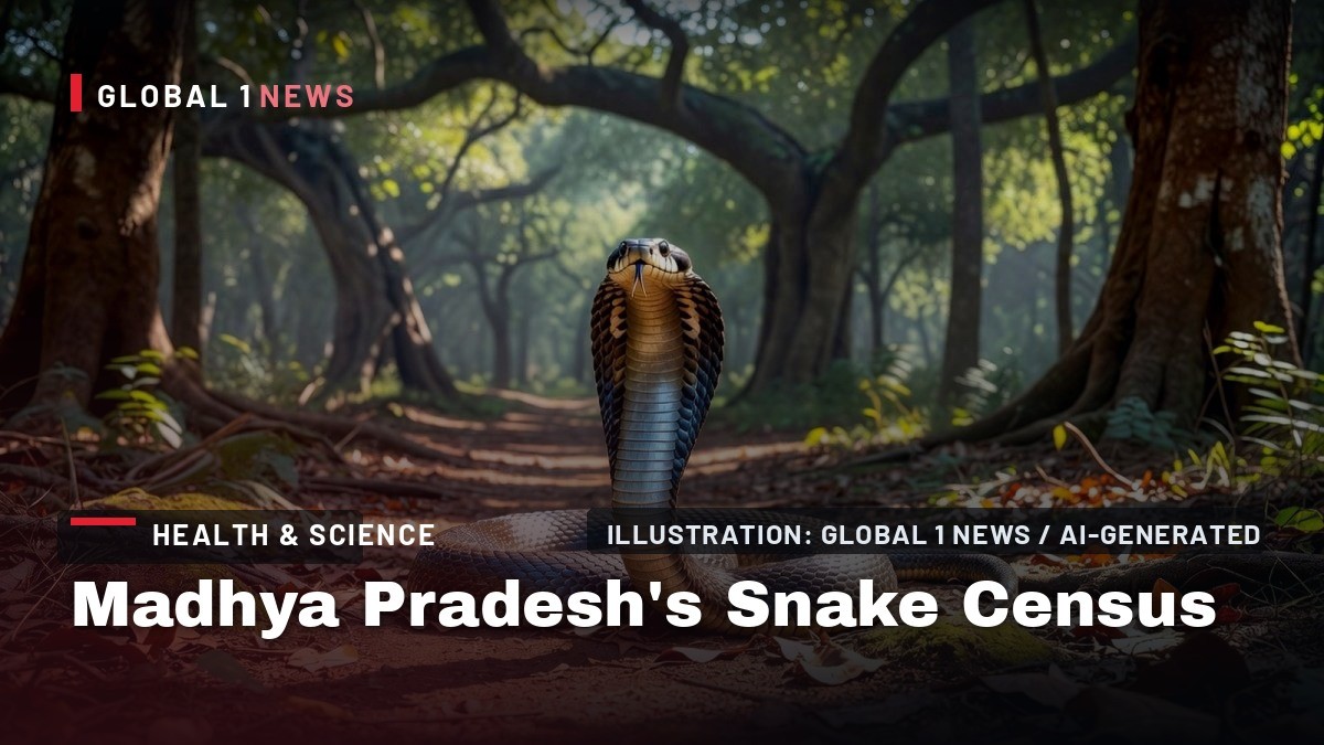
Bhopal, Madhya Pradesh - August 27, 2026 - The first phase of the census is already yielding actionable intelligence from two of the state's most critical ecosystems: the Satpura Tiger Reserve and the Kanha Tiger Reserve. Over the next twelve months, WII scientists will deploy a multi-pronged methodology-camera traps, pit-hole traps, and systematic field surveys-to document not just species presence, but population density and behavioral patterns. The ultimate goal is to create a predictive risk model that correlates snake distribution with human settlement patterns, agricultural cycles, and seasonal weather data, providing a real-time early warning system for rural communities.
A Data-Driven Response to a Silent Epidemic
The scale of the problem is staggering. According to World Health Organization (WHO) data, India records an average of 58,000 snakebite deaths annually, a figure that dwarfs the global total of 81,000 to 138,000 deaths. The WHO classifies snakebite envenoming as a neglected tropical disease, yet India remains the world's largest producer and consumer of antivenom. The paradox is that despite this production capacity, rural mortality remains high due to delayed hospital access, inadequate cold-chain logistics for antivenom, and a lack of trained medical staff in primary health centers (PHCs).
The Madhya Pradesh initiative directly addresses these gaps. By identifying the 16 snakebite hotspots with scientific precision, the state can allocate its limited healthcare resources more efficiently. Instead of distributing antivenom uniformly across 50 districts, the Forest Department and the state health machinery can now focus on the specific tehsils and village clusters where Russell's viper or common krait encounters are most frequent. This targeted approach is expected to reduce the time-to-treatment window, which is critical for viper bites that cause severe coagulopathy and renal failure.
How the Forest Patrol Became a Research Network
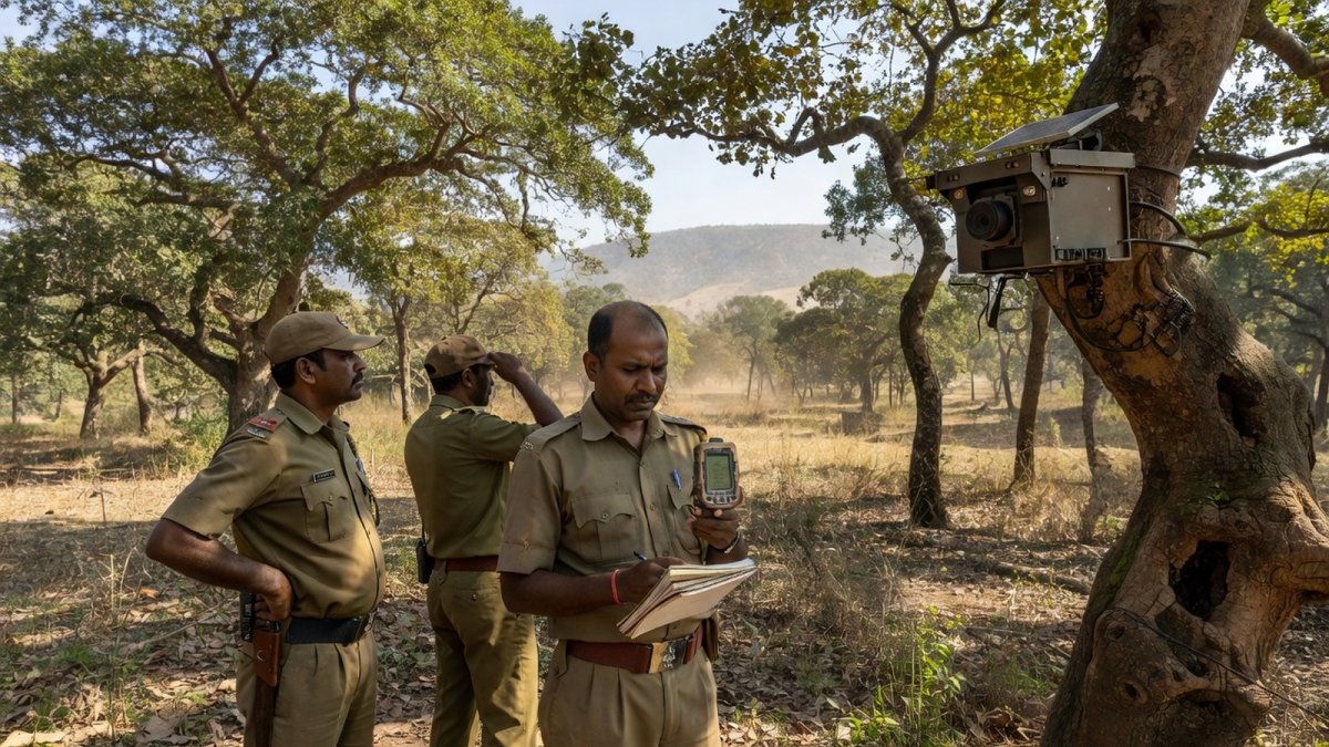
The genius of this project lies in its utilization of existing infrastructure. The MP Forest Department's large patrol network, comprising thousands of frontline staff, has been repurposed as a distributed sensor network. During routine patrolling, forest personnel now photograph any snake they encounter and record its precise GPS location. This data is uploaded to a dedicated WhatsApp group created by the WII team, allowing for real-time species identification and mapping.
To ensure data quality, WII conducted a rigorous two-day training workshop in April 2026, certifying approximately 110 forest officials. These trained personnel received specialized snake handling kits and were instructed on photographic protocols to ensure that images are clear enough for taxonomic identification. The integration of this human network with automated camera traps creates a redundancy that ensures no significant sighting is missed, even in the dense undergrowth of the Satpura ranges.
Beyond Bites: The Ecological Dividend
While the primary objective is public health, the census is yielding critical ecological data that could reshape conservation policy. Kanha Tiger Reserve Deputy Director Prakash Kumar Verma confirmed that the team is also collecting data on snake mortality due to road accidents, a growing threat in a state crisscrossed by expanding highway networks. This data will inform the design of wildlife corridors and underpasses, reducing the fragmentation of snake habitats that often forces reptiles into human-dominated landscapes.
Additional Principal Chief Conservator of Forests (wildlife) L Krishnamurthy emphasized that the census will provide a baseline for understanding the health of the ecosystem. Snakes are apex predators in the small-mammal food chain; their population density is a direct indicator of prey availability and habitat quality. A decline in snake numbers in a particular reserve could signal broader ecological distress, prompting early intervention for habitat restoration. Satpura Tiger Reserve Field Director Rakhi Nanda noted that the project's one-year duration will capture seasonal variations, crucial for understanding breeding cycles and hibernation patterns.
The Political and Policy Backdrop
The genesis of this census is rooted in political will. In 2025, Chief Minister Mohan Yadav publicly pitched the idea of a state snake census, driven by the urgent need to contain snakebite cases in rural constituencies. The Forest Department prepared a comprehensive proposal, which was subsequently approved by WII, and the state government sanctioned the necessary funds. This top-down political support has been instrumental in overcoming bureaucratic inertia and ensuring inter-departmental cooperation between the Forest Department, the Health Department, and the Panchayati Raj institutions.
This initiative aligns with the national priority set by the Ministry of Health and Family Welfare, which has been pushing for a "National Action Plan for Snakebite Envenoming." The Madhya Pradesh model, with its focus on geospatial mapping and community engagement, could serve as a template for other high-burden states like Uttar Pradesh, Bihar, and West Bengal. The data generated here will be shared with the Indian Council of Medical Research (ICMR) to refine antivenom production, which currently relies on a polyvalent formula that may not be effective against all regional venom variations.
Challenges and the Road Ahead
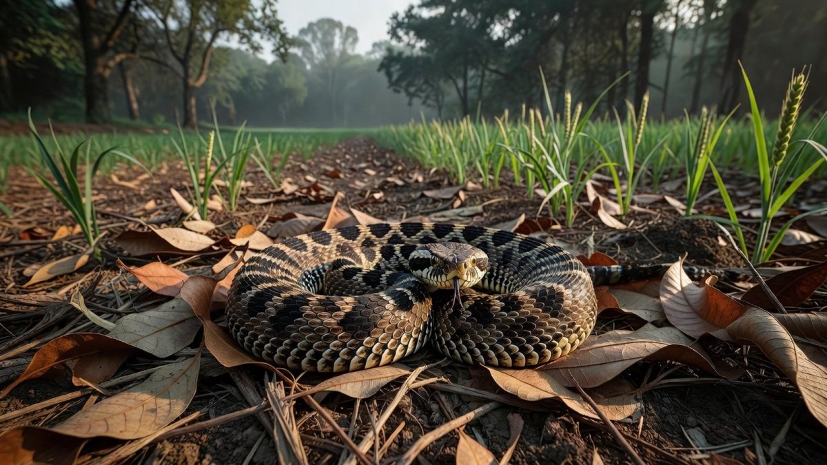
Despite the promise, significant challenges remain. The identification of 16 hotspots is a starting point, but the census must now determine the density of venomous species within these zones. A high density of saw-scaled vipers in a particular agricultural belt, for instance, requires a different public health response than a high density of common kraits in a residential area. The WII team is using pit-hole traps to capture live specimens for density estimation, a method that requires careful ethical oversight to avoid harming the animals.
Furthermore, the success of the project hinges on the sustainability of the WhatsApp-based data collection system. Connectivity issues in remote forest ranges could lead to data gaps. To mitigate this, WII is exploring offline data storage solutions that can sync when connectivity is restored. The training of 110 officials is also just the first cohort; the project will need to scale up training to cover all 2,000 patrol staff to ensure comprehensive coverage across the state's 95,000 square kilometers of forest area.
The Bottom Line
The Madhya Pradesh snake census is a landmark initiative that bridges the gap between wildlife conservation and public health. By leveraging the state's existing forest patrol network and applying rigorous scientific methodology, it is building a predictive map of venomous snake distribution that will save lives. For the rural farmer in the Narmadapuram division or the tribal villager in the Mandla district, this census translates into a tangible promise: faster access to the right antivenom, better-informed local health workers, and a reduced fear of the fields they till.
As the project progresses through its one-year cycle, the data will not only inform state policy but also contribute to the global understanding of human-snake conflict. In a country that bears the heaviest burden of snakebite deaths worldwide, this initiative represents a critical, data-driven step toward turning the tide against a neglected killer. The race to map the deadliest reptiles is not just about science; it is about safeguarding the lives of millions who live on the frontlines of this ecological interface.
- By Dr. Raj Patel, Staff Writer
This article was produced with AI-assisted research and editorial support. Sources: NDTV, Free Press Journal, Scroll.in, WHO.
What's Your Reaction?
 Like
0
Like
0
 Dislike
0
Dislike
0
 Love
0
Love
0
 Funny
0
Funny
0
 Wow
0
Wow
0
 Sad
0
Sad
0
 Angry
0
Angry
0

India/South Asia Correspondent at Global1.News. Analytical voice with a background in science and health journalism. Based in New Delhi, covering Indian politics, education, healthcare, technology, and policy. Breaks down complex data into clear, actionable reporting.













Comments (0)