
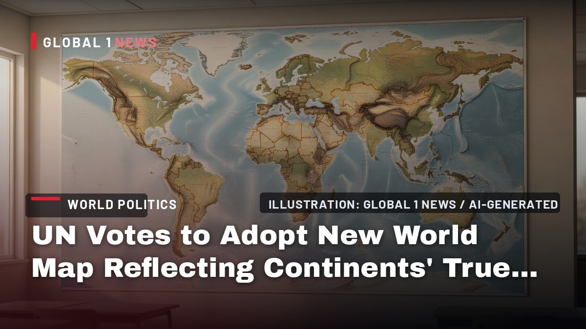
UN Votes to Adopt New World Map Reflecting Continents' True Size
The UN General Assembly voted 164-1 to adopt the "Correct the Map" resolution, replacing the Mercator projection with the Equal Earth map that shows continents at true sizes. Togo and the African Union led the effort; the US was the sole dissenting vote.
What Just Happened at the United Nations?
The United Nations General Assembly voted Friday to adopt a new world map that reflects the true relative sizes of continents, a historic rebuke of the 16th-century Mercator projection that has dominated global cartography for nearly 500 years. The "Correct the Map" resolution, spearheaded by Togo and backed by the African Union, passed with overwhelming support: 164 member states voted in favor, six abstained, and only the United States voted against it.
The resolution, which is not legally binding, promotes the adoption of the Equal Earth projection—a map that accurately depicts the surface areas of continents and countries. The vote marks a significant victory for African nations that have long argued the Mercator map has minimized their continent's perceived size and importance on the world stage. The measure was put forward by African Union member states along with the Bahamas, and it frames the map change as an "act of cognitive justice and memorial reparation."
This is not a technical tweak to navigation charts. The resolution explicitly states that the Mercator projection's distortions "contribute to minimizing the perceived sizes of Africa, Latin America and South Asia, and perpetuating an unbalanced view of the world." It further argues that these distortions "contribute to minimizing the extent of socioeconomic realities, infrastructure needs, development potential and prosperity in the Southern regions, and that they can fuel prejudices in the environmental, geopolitical and security fields."
The Mercator Problem: Why Size Matters
The Mercator projection, created by Flemish cartographer Gerardus Mercator in 1569, was designed as a navigation tool for sailors. Its genius lies in preserving true bearings—north-south lines maintain constant angles relative to the equator, making it invaluable for maritime and aerial navigation. But that utility comes at a steep cost: the map dramatically distorts the size of land masses, inflating regions closer to the poles while shrinking those near the equator.
The most glaring example: on the Mercator map, Greenland appears roughly the same size as Africa. In reality, Africa is about 14 times larger than Greenland. The island of Greenland is actually closer in size to the Democratic Republic of Congo alone. Similarly, the United States, China, India, Japan, Mexico, and a large share of Europe could all fit inside Africa's actual landmass with room to spare—a fact that a petition tied to the #CorrectTheMap movement, which has drawn more than 11,000 signatures, has helped publicize.
Critics of the Mercator projection have long suspected its persistence is not accidental. The map enlarges and centers Europe and North America, perpetuating what many see as outdated notions of Western superiority. New Zealand took issue with its marginalization as far back as 2018, when then-Prime Minister Jacinda Ardern starred in a tourism ad joking that "New Zealand is disappearing off the world maps" due to its position in the bottom right-hand corner.
What Is the Equal Earth Projection?
The Equal Earth projection, which the UN resolution promotes as the replacement, is an equal-area map that displays countries and continents in proportion to their actual surface areas while retaining recognizable shapes. It was introduced at the 2018 North American Cartographic Information Society conference by cartographers including Bojan Savric, who told AFP in 2025 that "Equal Earth preserves the relative surface areas of continents and, as much as possible, shows their shapes as they appear on a globe."
The visual differences are stark. On an Equal Earth map, Europe appears to shrink, Brazil balloons, and Greenland dramatically diminishes. Africa appears substantially larger in comparison — a landmass roughly 14 times the size of Greenland. The map comes in various forms, including one that centers Oceania rather than Greenwich, London—a subtle but significant shift in perspective for the Asia-Pacific region.
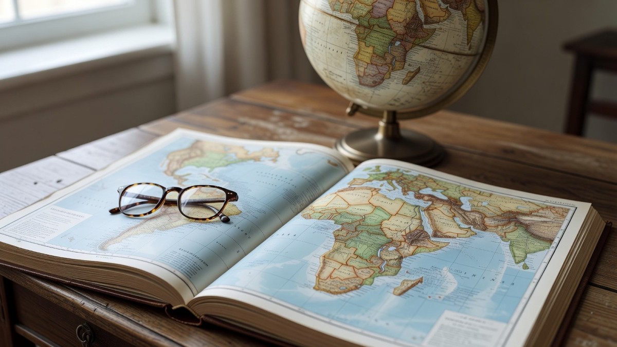
For the layperson, the change means the world will simply look different. The familiar stretched-out Greenland and oversized Russia of classroom maps will give way to a more geographically honest representation. Africa will finally appear as the vast continent it is.
The United States Stands Alone
The United States was the only country to vote against the resolution, a position that drew sharp attention given the otherwise overwhelming support. Washington argued that the resolution promoted an "ideological agenda" and served as a distraction from the "genuine problems of international peace, prosperity or good relations," according to Reuters.
The United States cast the sole "no" vote, with six other nations abstaining; the identities of the abstaining countries were not disclosed in initial reports. The US position places it at odds not only with the African Union but also with key European allies, including France, which co-sponsored the resolution.
The American stance is notable given that the resolution explicitly states it "in no way challenges the use of the Mercator projection for maritime and aerial navigation, for which it remains fully suited," according to a statement from the Togolese ministry. The US objection appears rooted in concerns about the resolution's framing rather than its practical implications for navigation or mapping technology.
France and Togo Lead the Charge
France's foreign affairs minister, Jean-Noël Barrot, announced Friday that France "will abandon the Mercator projection" in favor of representations that more accurately depict countries' surface areas, as reported by state-owned television network France 24. Barrot had voiced support for the change ahead of the vote during remarks at the Sorbonne in Paris. The French foreign ministry noted that on the Mercator map, "the United States, Russia and China take on a disproportionate visual prominence compared to Africa, Latin America or southeast Asia," while "Greenland appears almost as big as Africa."
Togo's Foreign Minister Robert Dussey has been the public face of the campaign. "A fair world begins with a fair map," Dussey told Reuters ahead of Friday's vote. He linked the initiative to broader African efforts to confront colonial-era legacies, while insisting it was not an attack on Europe or any other civilization. "The Mercator map's widespread use is a consequence of colonization," Dussey said. "The world is changing. Africa also is changing."
The African Union Assembly endorsed the "Correct the Map" campaign in February, and the AU later tapped Togo to lead the initiative at the UN with the backing of the Africa Group. "For centuries, the Mercator projection distorted global geography, shrinking Africa to the size of Greenland when our continent is actually 14 times larger," the African Union said in a statement following the vote.
What Happens Next: From Classrooms to Google Maps
The resolution is not self-executing. It urges tech platforms to engage with UN member states and regional organizations to adopt the more accurate projection. This is a significant ask: digital map platforms such as Google Maps currently use a version of the Mercator projection, as do many GPS and location-based services. The resolution's language suggests the UN expects these companies to be part of the conversation about wider adoption.
Togo is moving quickly to lead by example. Dussey told Reuters that Togo hopes to change its school geography materials by the end of 2026. "Togo will be the first country to change our own geography books," Dussey said. "In the classroom, we need to change it to give an example to all the countries in the world."
Beyond its own borders, Togo plans to meet with African Union member states and supporters from other regions within the next six months to agree on how to promote wider adoption. Dussey said the discussion about next steps would need to include companies operating mapping, GPS, and other location-based technologies. The resolution also urges schools, media outlets, and international institutions to adopt equal-area maps such as Equal Earth in their materials.
Implications for Education, Media, and Global Perception
The practical implications of this vote extend far beyond the halls of the UN. For educators, it signals a potential shift in how geography is taught worldwide. For media organizations, it raises questions about which maps to use in news coverage. And for the public, it offers a chance to see the world more accurately—a world where Africa is not a footnote but a central, massive presence.
The resolution's language is unusually pointed about the stakes. It argues that the Mercator distortion has "symbolic minimization" effects on Africa in people's collective imagination, and that this distortion fuels prejudices in environmental, geopolitical, and security fields. The implication is clear: how we visualize the world shapes how we understand it, and how we act within it.
For the Global South, this vote is a rare and significant victory in an international system often dominated by Western powers. It represents a concrete step toward what the resolution calls "cognitive justice"—a recognition that the tools we use to understand the world must not systematically disadvantage entire regions. The fact that 164 nations voted in favor, with only the United States opposed, suggests a broad consensus that the era of the Mercator map's dominance in public life should come to an end.
What This Vote Does and Does Not Change
It is important to be precise about the scope of Friday's action. The resolution is not legally binding on any nation or organization. It does not mandate that any country change its maps, textbooks, or digital platforms. It does not affect the use of the Mercator projection for maritime and aerial navigation, for which it remains fully suited and widely used. The vote is, in essence, a powerful statement of intent—a signal from the international community about the direction it believes cartography should take.
The real test will come in the months and years ahead. Will technology companies like Google Maps, which serves billions of users daily, shift away from the Mercator projection for general-purpose mapping? Will school systems around the world update their geography curricula? Will media outlets change the maps they use to illustrate news stories? The resolution urges all of these actors to engage, but it cannot compel them.
What is clear is that the campaign has momentum. The African Union endorsed the effort in August 2025, the UN General Assembly has now voted overwhelmingly in favor, and France has already committed to abandoning the Mercator projection. Togo's Dussey has signaled that the next six months will be crucial for building a coalition to push for wider adoption. For a campaign that began with a simple observation—that Africa looks too small on the map—Friday's vote represents a remarkable achievement.
By Jessica Ali, Staff Writer
This article was produced with AI-assisted research and editorial support. Sources: CNN, Reuters.
What's Your Reaction?
 Like
0
Like
0
 Dislike
0
Dislike
0
 Love
0
Love
0
 Funny
0
Funny
0
 Wow
0
Wow
0
 Sad
0
Sad
0
 Angry
0
Angry
0

Editor-in-Chief at Global1.News. Atlanta-based journalist who cuts through the BS and tells it like it is. Lead anchor, host, and the voice you hear when the spin stops and the truth starts.








Comments (0)