
Hurricane Marie Intensifies Off Baja California Sur, Forcing Port Closures and Class Suspensions
The familiar late-summer anxiety has returned to the shores of Baja California Sur. Hurricane Marie, a powerful Category 2 storm, is churning the waters off the peninsula’s coast, bringing with it the threat of torrential rain, dangerous swells, and the kind of disruption that communities here know all too well.
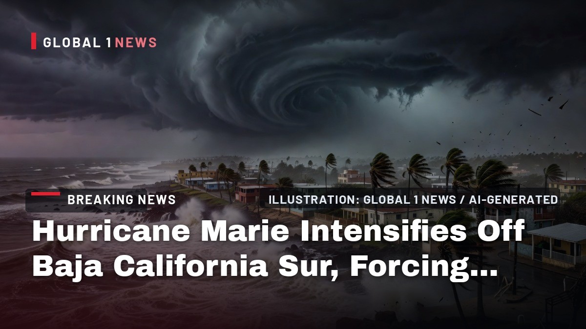
Hurricane Marie Intensifies Off Baja California Sur, Forcing Port Closures and Class Suspensions
The familiar late-summer anxiety has returned to the shores of Baja California Sur. Hurricane Marie, a powerful Category 2 storm, is churning the waters off the peninsula’s coast, bringing with it the threat of torrential rain, dangerous swells, and the kind of disruption that communities here know all too well. As of Friday morning, the storm has prompted the closure of ports to small vessels and the suspension of school activities across key municipalities, a precautionary dance between nature’s fury and human preparedness that defines this season.
For the families in Cabo San Lucas and San Jose del Cabo, the news is a stark reminder of their vulnerability. The storm, which formed only days ago, has rapidly intensified, and its presence is already being felt. The rhythm of daily life—the fishermen preparing their pangas, the hotel staff readying for guests, the shopkeepers opening their doors—has been interrupted by the urgent need to secure homes, businesses, and, most importantly, lives against the coming weather.
This is not a drill for the people of this region. Memories of past cyclones are still fresh, and the sight of darkening skies and the sound of rising wind trigger a deep-seated instinct to prepare. The state government, alongside federal agencies, has moved into action, but the true test lies in the hours ahead as Marie’s outer bands begin to lash the coastline with increasing intensity.
A Rapidly Intensifying Storm: The Facts and Figures
Hurricane Marie’s journey has been one of swift and dangerous strengthening. According to the National Meteorological Service (SMN), the storm formed as a tropical storm east of Manzanillo, Colima, on Tuesday, September 1. It escalated to a Category 1 hurricane on Wednesday evening, and then underwent a period of rapid intensification during the night of Thursday, September 3, reaching Category 2 status. As of a 10 a.m. Friday social media post from the SMN, Marie was located 885 kilometers west-southwest of Cabo San Lucas, at the southern tip of the Baja Peninsula, having moved slightly further away from the coast overnight.
The storm’s power is considerable. Maximum sustained winds are currently measured at 155 km/h (100 mph), with gusts reaching up to 195 km/h. It is moving west-northwest at a pace of 15 km/h, and its minimum central pressure has dropped to 972 millibars, a sign of its intensity. The U.S. National Hurricane Center (NHC) has noted that hurricane-force winds extend 75 kilometers from the storm’s center, while tropical-storm-force winds reach out a much wider 295 kilometers, meaning the storm’s influence is felt across a vast expanse of ocean.
While the storm’s core is moving away from land, its size is the primary concern. The National Water Commission (Conagua) has stated that Marie’s main threat lies in its extensive cloud bands, which are increasing the likelihood of heavy rainfall that could cause more flooding in vulnerable coastal areas. The storm is a massive weather system, and its outer edges are what will bring the most significant impacts to the peninsula over the coming days.
Governor Castro Suspends Classes and Ports Close Across Los Cabos and Comondu
In a decisive move to protect residents, Baja California Sur Governor Victor Manuel Castro has suspended all school activities in the municipality of Los Cabos. The suspension, which also applies to the municipality of Comondu, continued through Friday, September 4, across all educational levels. This measure, announced by the state government, is a standard yet critical protocol during hurricane threats, ensuring that children and young people are not caught in dangerous conditions while traveling to or from school.
The closure of schools is a significant logistical undertaking, affecting thousands of students, teachers, and parents. For many families, it means rearranging work schedules and finding safe places for children to stay. It is a disruption, but one that is widely understood and accepted as a necessary precaution. The state’s education authorities are coordinating with municipal governments to monitor the situation and will announce when it is safe for classes to resume.
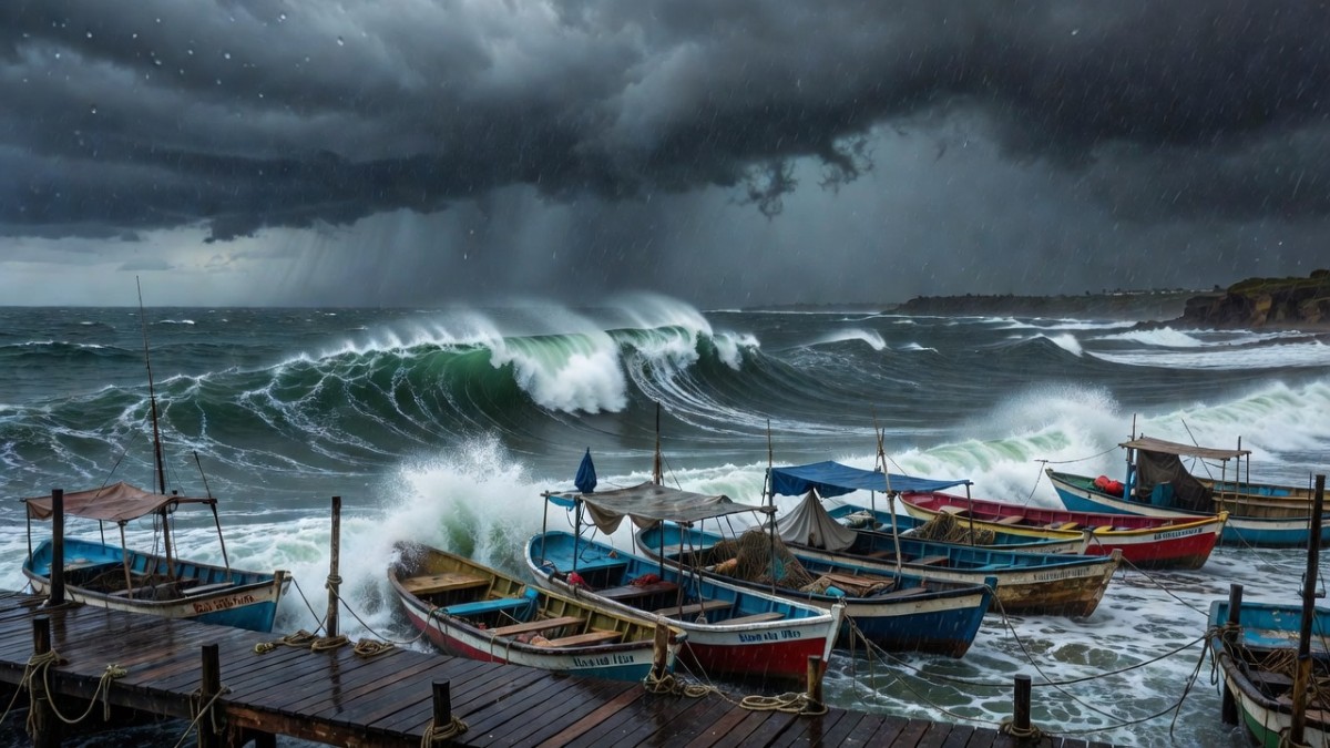
Alongside the school suspensions, ports have been closed to small vessels in San Jose del Cabo and Magdalena Bay. Navigation is severely restricted, a measure that directly impacts the local fishing communities who depend on the sea for their livelihood. For the pescadores, this closure means lost income, but it is a risk they cannot afford to take. The port captains, acting on instructions from the Harbor Master’s office, are enforcing the closure to prevent any vessels from venturing out into the dangerous swells that are already building.
Forecast for the Peninsula: Waves, Winds, and Intense Rain
The SMN has issued a detailed forecast for the Baja California Sur coastline, and the numbers paint a clear picture of the danger. Waves of 1.5 to 2.5 meters (5-8 feet) are forecast along the peninsula coastline, but the SMN is also predicting 3-4 meter waves on the BCS coasts. These are not gentle rollers; they are powerful swells that can cause significant coastal erosion and overwash, particularly in low-lying areas.
Winds are expected to reach 30-40 km/h, with gusts of 50-70 km/h, which can down trees, damage power lines, and turn loose objects into projectiles. More concerning is the forecast for intense localized rains, with accumulations of 75-150 mm expected in parts of Baja California Sur. Such rainfall, falling on already saturated ground, can quickly lead to flash flooding and the overflow of arroyos, the dry riverbeds that crisscross the desert landscape and can turn into raging torrents with little warning.
Civil protection authorities are urging the public to take extreme precautions and to heed the recommendations of the National Civil Protection System. This includes avoiding crossing flooded roads or arroyos, securing loose objects around homes, and staying informed through official channels. The message is clear: the storm’s power should not be underestimated, and personal safety must be the top priority for everyone in the affected areas.
Community Impact: Cabo Wabo and the Fight to Protect Livelihoods
The storm has already left its mark on the community. Cabo San Lucas was battered by high winds and heavy rain on Wednesday while Marie was still a tropical storm. The flooding damaged businesses, and arroyos overflowed in parts of the state, including in the Los Cabos area and Comondu. The damage is a blow to the local economy, which relies heavily on tourism and the hospitality industry.
Legendary rock musician Sammy Hagar, owner of Cabo San Lucas’s famous Cabo Wabo Cantina, has been vocal about the storm’s impact. In an Instagram post, he said the storm caused a great deal of damage, asking fans to pray for his club and the city. However, in a Thursday Instagram post, he also praised the authorities’ quick reaction, writing, "Cabo to the rescue... Congratulations to the community for pulling the cleanup crew together so quickly." His words reflect a spirit of resilience that is characteristic of the region.
For the hotel workers, restaurant staff, and shopkeepers in Cabo San Lucas and San Jose del Cabo, the storm threatens the crucial autumn tourism season. Every day of closure and cleanup is a day of lost revenue. The community is pulling together, as Hagar noted, but the economic uncertainty is a heavy burden. The state capital, La Paz, has also seen flooding effects from the storm’s outer bands, and state emergency protocols have been activated to coordinate response efforts across the peninsula.
Wider Weather System: Rains Forecast Across Mainland Mexico
Hurricane Marie is not an isolated event. The SMN has issued a Tropical Cyclone Advisory forecasting intense localized rains for the northwestern coast of mainland Mexico, including the states of Sinaloa, Nayarit, Jalisco, Colima, and Michoacan, which lie south of Baja California Sur. The storm’s moisture, combined with the Mexican monsoon, low-pressure troughs, high-level cyclonic circulations, and Tropical Wave 36, is also forecast to generate intense rains on Friday in Veracruz, Oaxaca, Chiapas, and Tabasco, with rain expected in many other states as well.
This interconnected weather system means that the effects of Hurricane Marie will be felt far beyond the Baja Peninsula. Communities across central and southern Mexico are on alert for heavy rainfall and potential flooding. The coordination between Conagua, the SMN, and state civil protection agencies is crucial in providing timely warnings and ensuring that resources are deployed where they are needed most.
Looking ahead, Conagua expects Marie to weaken to a Category 1 storm on Saturday as it moves further out to sea over cooler waters, more than 800 kilometers from Punta Eugenia. The swells from the storm are also expected to spread toward Southern California over the weekend, a reminder that the reach of these powerful systems extends far beyond Mexico’s borders. For now, the people of Baja California Sur remain vigilant, watching the horizon and hoping for a swift end to the storm’s fury.
Tags: Hurricane Marie, Baja California Sur, Los Cabos, Cabo San Lucas, San Jose del Cabo, Comondu, La Paz, SMN, Conagua, Victor Manuel Castro, port closure, school suspension, flooding, Sammy Hagar, Cabo Wabo, Eastern Pacific hurricane, Mexico weather, Proteccion Civil
By Rosa Martinez, Staff Writer
This article was produced with AI-assisted research and editorial support. Sources: Mexico News Daily, U.S. National Hurricane Center, Conagua/SMN (Mexico).
What's Your Reaction?
 Like
0
Like
0
 Dislike
0
Dislike
0
 Love
0
Love
0
 Funny
0
Funny
0
 Wow
0
Wow
0
 Sad
0
Sad
0
 Angry
0
Angry
0

Latin America/Andes Correspondent at Global1.News. Based in Bogota, covering politics, environment, energy, and social movements across the Andean region. Passionate about environmental journalism and communities protecting their land.












Comments (0)