
Hurricane Nolo strengthens to Category 1 as Hawaii's Big Island races its last dry day
Hurricane Nolo strengthened into a Category 1 hurricane about 270 miles south of Hawaii's Big Island, where officials opened shelters a day early and warned that 15 to 35 inches of forecast rain could bring catastrophic flooding this weekend.
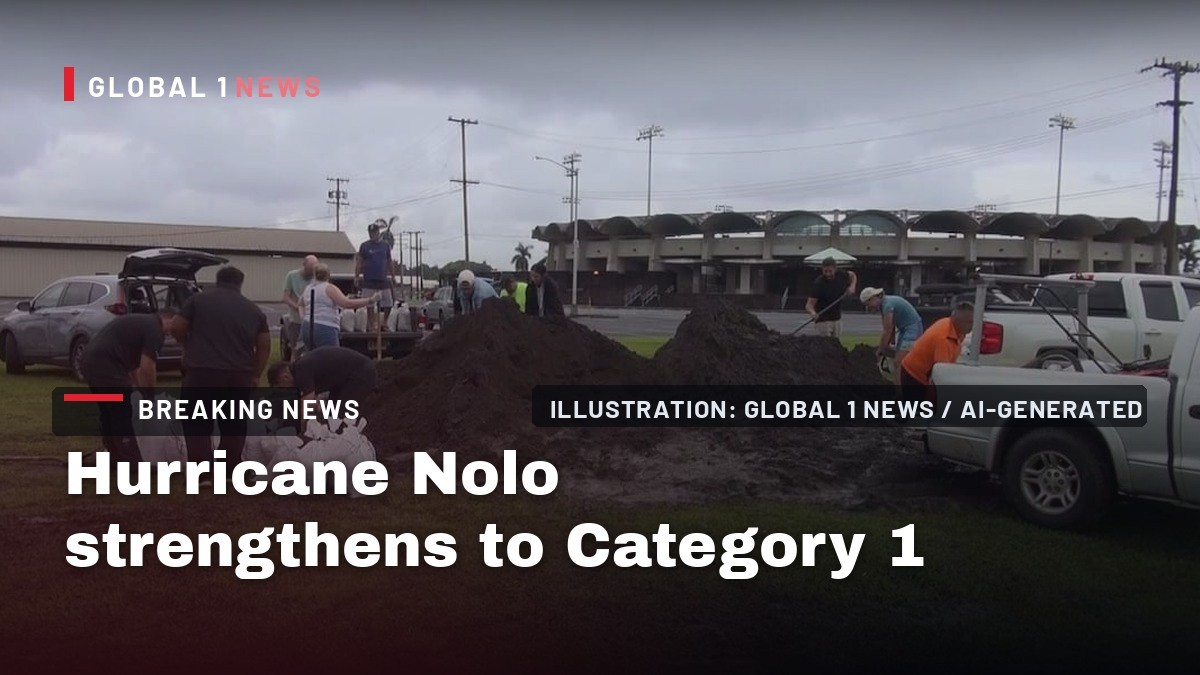
Hurricane Nolo is a Category 1 storm, folks, and Hawaii's Big Island is down to its final dry hours. Nolo jumped to hurricane strength Thursday evening, and forecasters say it is not done growing. What comes next is a weekend of rain that could rewrite the record books.
Hurricane Nolo strengthens to Category 1 as Hawaii's Big Island races its last dry day
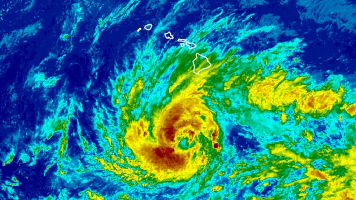
Hilo, Hawaii – September 24, 2026 — The National Hurricane Center's 5 p.m. HST advisory Thursday ended the waiting game: Air Force reconnaissance found Nolo had become a hurricane, with maximum sustained winds of 75 mph and a central pressure of 984 millibars, about 270 miles south of South Point and crawling north-northeast at 5 mph. A faster motion north-northeast was expected through Friday, followed by what the center called a sharp westward turn on Saturday just to the south of the Big Island. A Hurricane Watch covers Hawaii County, a Tropical Storm Warning covers Hawaii County, and a Tropical Storm Watch covers Maui County. Translation for anyone on the Big Island: your window to get ready is closing fast.
Nolo Is Now a Hurricane, and Hawaii Has One Last Day to Prepare
Here is what matters. Nolo is a hurricane and it is forecast to keep strengthening. The center said additional steady to rapid intensification is expected, with Nolo becoming a major hurricane by this weekend. Hurricane-force winds extend up to 30 miles from the center, and tropical-storm-force winds reach out 105 miles. Tropical storm conditions are expected to begin by late Friday in the warning area, with hurricane conditions possible by early Saturday. Gov. Josh Green did not mince words, telling residents it can get very serious very fast. National Weather Service meteorologist Jon Bravender put it more plainly: today is really the last dry day you have to get ready. Tomorrow brings more rain, and by Friday the winds ramp up. If you have not stocked water, filled prescriptions or charged your phone, you are already behind. Move.
What the Forecast Actually Says, and How Fast It Changed
Track the speed of this thing, because it explains why officials are sprinting. At 11 p.m. HST Wednesday, Nolo was a 50 mph tropical storm 285 miles south of South Point, creeping north at 2 mph, with a Hurricane Watch already up for Hawaii County. By 11 a.m. Thursday it was a 70 mph storm at 992 millibars, and the center had issued a Tropical Storm Warning for Hawaii County plus a Tropical Storm Watch for Maui County. Six hours later it was a hurricane. Hawaii News Now's weather desk reported the updated forecast calls for rapid intensification to a Category 2 by Friday morning, a Category 3 sometime Saturday and eventually a Category 4 as it passes south of the islands. That is a forecast, not a measurement, so treat it as a warning shot. The center's own key message: Nolo is expected to pass near or just south of the Big Island on Saturday as a major hurricane, and residents should follow advice from local officials, including evacuating if told to do so.
Rain, Not Wind, Is the Threat That Worries Officials Most
Forget the wind speed for a second. The water is the killer. The center forecasts 15 to 30 inches of rain for the eastern and southern portions of the Big Island, with maximum amounts of 35 inches, and warns it could produce catastrophic life-threatening flooding and mudslides, especially in areas of steep terrain. Western portions of the island get 5 to 8 inches, maximum 10. Maui gets 4 to 8 inches, maximum 15. The rest of the islands get 1 to 3 inches, maximum 6, with isolated flooding possible. Bravender said totals could reach 20 to 30 inches over four days, and warned the heaviest rain could land over the same area Hurricane Lala hammered. A flood watch runs through Saturday for Maui and Hawaii counties. Storm surge of 1 to 3 feet is forecast for Hawaii County, and swells are expected to reach exposed east- and south-facing shores of the Big Island by Friday. Do not go near the water. Not for a photo. Not for anything.
A Storm Aimed at Ground That Never Dried
This is the part that should make your stomach drop. The Big Island and parts of Maui County were hit hard by flooding, mudslides and strong winds from Hurricane Lala in mid-August, and some places just recently got power restored. The ground is still saturated and infrastructure is fragile, so officials stress that even a fraction of the forecast rain could trigger severe flash flooding. Hawaii County Mayor Kimo Alameda, speaking from the Emergency Operations Center, singled out Kawa Flats as an area where flooding usually occurs, and said that is exactly why the county is telling people not to wait. His words: especially if you are in a flood-prone area, you want to evacuate prior to the flood or to the big rains. Even six inches of rain could be damaging and could be a hazard. Transportation Director Ed Sniffen said crews are clearing drainage systems and preparing known trouble spots, cautioning that water may be coming down in points that we don't expect. Low points at Kawa Flats and Honu'apo are expected to flood.
Shelters Opened Early, and Officials Say Do Not Wait
Hawaii County did not wait for the first raindrop. Officials and American Red Cross crews opened an emergency shelter at Na'alehu Elementary School, and the county is running free shuttle buses from Na'alehu to a second shelter at the Robert N. Herkes Gymnasium in Pahala, urging residents to move before low-lying roads become impassable. The full list: Yano Hall in Captain Cook, the Na'alehu Elementary gym, the Herkes Gym in Pahala and the Kea'au Armory. Bring your own food, water and medicine. Shelters are pet friendly, so bring your own crate and leash. Sand piles are available across the island for sandbags, but you bring your own bags. The county's safety message is blunt: be prepared for road closures and extended power outages, and never cross moving water, on foot or in a vehicle. Turn around, don't drown.
Schools, County Offices and Parks Shut Down Across the Islands
The closures are already rolling in, and they tell you how seriously the state is treating this. All public schools and offices on Hawaii Island closed Thursday and Friday, according to the Hawaii Department of Education, and HIDOE facilities in Maui County shut down Friday to give families and staff time to prepare for hazardous travel. Hawaii County suspended non-emergency services Thursday and Friday, including county offices, park facilities and Hele-On services. Solid waste facilities scheduled to be open Thursday stayed open, though schedule changes may be announced later. On Maui, both districts of Haleakala National Park closed Thursday evening, Kipahulu at 4 p.m. and Summit at 8 p.m. Sunrise reservations for Friday and Saturday were cancelled, camping is cancelled through Saturday, and people are urged to avoid forested and coastal areas because of rising streams, flash flooding, falling trees, storm surge and high surf. Stay out of the parks. They reopen when it is safe.
The Guard, the Hotel Rooms and the Longest Emergency Order
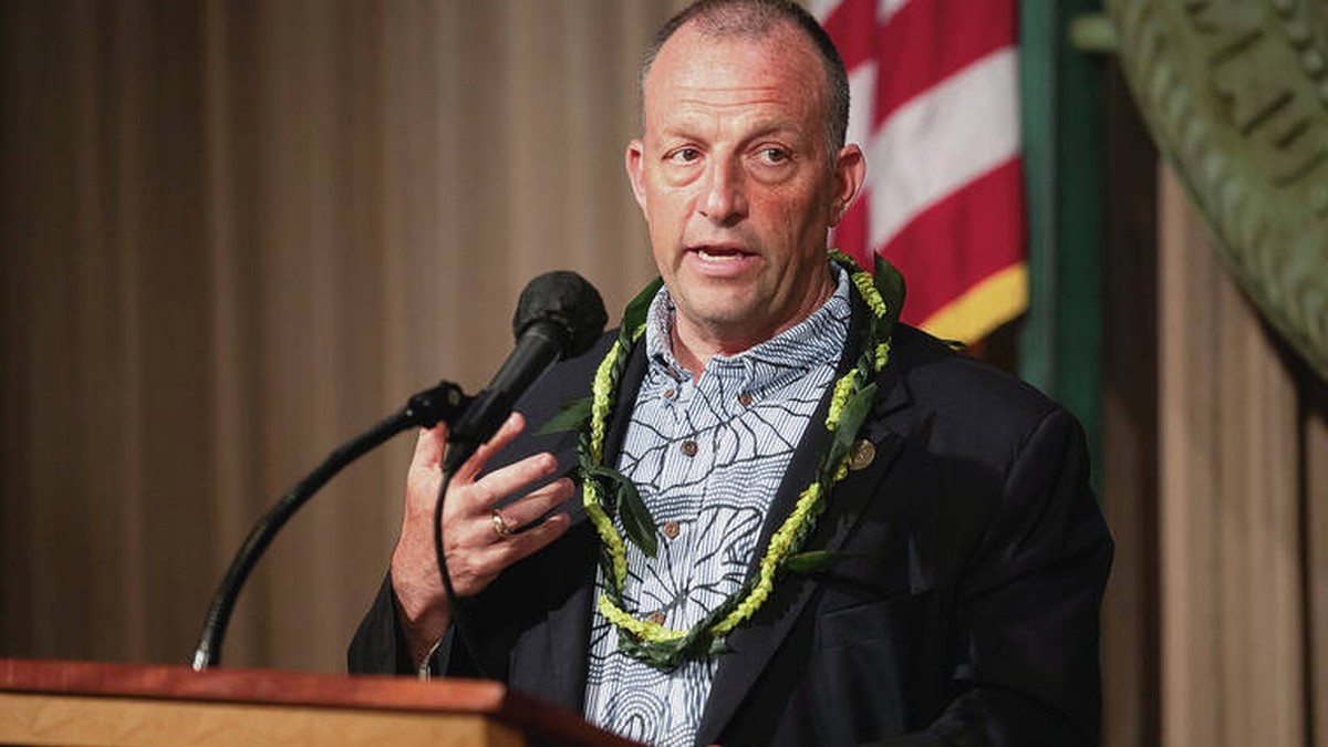
Here is the muscle the state is putting behind this. Gov. Green extended the emergency proclamation through Nov. 21, giving National Guard leadership more flexibility to activate additional personnel. Maj. Gen. Stephen Logan said 232 Guard personnel are positioned to support response and recovery, and the governor authorized him to go up to 500, with those folks being contacted to come in before the storm hits. On Maui, more than 50 Guard personnel and five high-water vehicle teams are being prepared. About 75 personnel are positioned on Oahu, with additional high-water vehicle teams and aviation crews being organized. Green said the state is pre-positioning hotel rooms for people who want to evacuate early, with about 100 rooms set aside for residents who need to leave South Hawaii Island and the state covering the cost. His message: if you feel unsafe right now, please take us up on the offer to go up to Hilo as this new storm approaches. Human Services Director Joe Campos said anyone who wants evacuation or non-congregate sheltering help should call 211.
Sixty-Seven Years Since the Big Island Faced Anything Like This
Put this storm in context, because the numbers are staggering. According to NOAA's hurricane database, only one other major hurricane - Category 3 or stronger - has tracked within 150 miles of the Big Island. That was Hurricane Dot in August 1959, which went on to slam into Kauai after brushing south of the Big Island. That means Nolo could be the strongest Big Island impact from a hurricane in 67 years. AccuWeather forecasts as much as 55 inches of rain, which could rival Hawaii's all-time record for rainfall from a tropical cyclone - Hurricane Lane's 58 inches on the Big Island in 2018. Note the word could. Nobody is promising a broken record, and nobody should want one. Forecasters believe the storm could bring catastrophic flooding Friday and Saturday for the Big Island, and Hawaii's Emergency Management Agency told residents and visitors to take this threat very seriously.
A Pacific Ocean Running Hot: Polo, Lala, Moke and Lowell
Nolo did not come out of nowhere, and it is not alone. The system formed as Tropical Depression Fifteen-E on Sept. 13 southeast of Hawaii, then fizzled as it traveled west into strong wind shear. It kept trekking west, moved into areas with less shear and got a second life, which is why weather watchers call it a zombie storm. Counting it is where the outlets split: weather.com counts Nolo as the fourth system to at least graze Hawaii this season, while USA TODAY counts it as the seventh tropical system to bring impacts to the islands in 2026. Both are on the record. First came Hurricane Lala in mid-August, whose eyewall grazed the southern end of the Big Island and sent power outages skyrocketing. Then Tropical Storm Moke brought rain and wind, and flooding occurred again because the ground was saturated from Lala. Then Hurricane Lowell, which peaked at Category 5 before weakening, still slammed the western islands with wind, rain and waves. El Nino tends to favor storm formation here. Farther east, Hurricane Polo sent bands of heavy rain across Mexico's Pacific coast - a separate storm, with a separate danger.
What Comes Next, and What to Do Tonight
Folks, here is the bottom line. Nolo is a Category 1 hurricane, forecast to become a major hurricane by the weekend, and expected to pass near or just south of the Big Island on Saturday. Recent model runs pulled the track farther south, and the Big Island is now outside the cone of uncertainty. Should that hold, more of the heaviest impacts could stay offshore. But storms wobble, and an even later westward turn could ramp up winds as Nolo makes its closest pass. Even outside the cone, impacts occur well beyond it. So do this tonight: charge everything, fill water containers, gather medicine and documents, know your shelter, and if you are in a flood-prone area, leave before the roads go under. Never drive through moving water. Call 211 if you need evacuation or sheltering help. Officials opened shelters early for a reason. Use them.
By Jessica Ali, Staff Writer
This article was produced with AI-assisted research and editorial support. Sources: National Hurricane Center, Central Pacific Hurricane Center, Hawaii News Now, weather.com, USA TODAY, Associated Press, Hawaii County, Hawaii Emergency Management Agency, Big Island Now.
What's Your Reaction?
 Like
0
Like
0
 Dislike
0
Dislike
0
 Love
0
Love
0
 Funny
0
Funny
0
 Wow
0
Wow
0
 Sad
0
Sad
0
 Angry
0
Angry
0

Editor-in-Chief at Global1.News. Atlanta-based journalist who cuts through the BS and tells it like it is. Lead anchor, host, and the voice you hear when the spin stops and the truth starts.













Comments (0)