
Triple Cyclone Watch: Three Storms Threaten Heavy Rain Across Mexico
Mexico's SMN is monitoring three Pacific storm systems - Tropical Storm Iselle, Tropical Depression Ten-E and a third disturbance - bringing heavy rain, hail and strong winds to much of the country while border states bake in a 45C heat wave.

Triple Cyclone Watch: Three Storms Threaten Heavy Rain Across Mexico
Mexico is bracing for a dramatic week of weather as the Servicio Meteorológico Nacional (SMN) and CONAGUA monitor three simultaneously occurring tropical systems in the Pacific Ocean. Tropical Storm Iselle, a newly classified Tropical Depression Ten-E, and a third disturbance are expected to bring heavy rainfall, lightning, hail, and strong winds to much of the country. While the storms are not projected to make direct landfall, their combined influence will be felt from the beaches of Baja California Sur to the highlands of Michoacán, and even as far as the Gulf of Tehuantepec.Tags: Tropical Storm Iselle, SMN, CONAGUA, triple cyclone, Mexico weather, Baja California Sur, Michoacán, Pacific hurricane season, heavy rain forecast, heat wave Mexico, Protección Civil, El Niño 2026
Three Storms, One Watch: The 'Triple Cyclone' Scenario
The SMN has maintained a high state of vigilance over three low-pressure zones in the Pacific Ocean, a scenario that forecasters have dubbed a possible "ciclón tropical triple" (triple tropical cyclone). This term refers to the simultaneous presence of three systems with cyclonic potential, a rare and complex situation that demands careful monitoring. However, officials are quick to clarify that this does not mean all three systems will necessarily evolve into full hurricanes. According to reports from Azteca Noticias on August 23, the most advanced disturbance had up to a 100 percent probability of evolving into a tropical cyclone. A second zone of instability maintained a 40 percent potential for development, while a third disturbance was being watched with a 60 percent probability. These percentages represent the likelihood of cyclonic formation, not the intensity of any eventual storm, and they can change rapidly as the systems interact with ocean temperatures and atmospheric conditions. The interaction of these three systems is the primary concern for meteorologists. The combined effect could increase the influx of moisture into the national territory, favoring heavy to intense rains, high waves, and strong wind gusts in western and southern states. For families in Michoacán, the forecast is particularly significant, with substantial rain accumulations expected. Local authorities have recommended that residents stay alert to official warnings and avoid crossing rivers, streams, or flooded zones, as these areas can become dangerously swift with little notice.Tropical Storm Iselle: Far Offshore but Powerful
The most developed of the three systems is Tropical Storm Iselle, which is safely offshore but packing a significant punch. As of 6 a.m. on Monday, August 24, the SMN reported Iselle was located approximately 920 kilometers southwest of Cabo San Lázaro, Baja California Sur. While the storm is expected to intensify into a Category 1 hurricane by Monday evening, the SMN has emphasized that the projected distance and trajectory of Iselle do not pose a direct risk to the Mexican mainland. Data from the U.S. National Hurricane Center (NHC) at 2100 UTC on Monday provides a detailed picture of the storm's power. Iselle's center was near 19.2N 118.0W, moving northwest at 11 knots. The estimated minimum central pressure was 988 mb, with maximum sustained winds of 60 knots (about 69 mph or 110 km/h) and gusts up to 75 knots. Peak seas near the storm's center were estimated at a formidable 26 feet, with numerous areas of moderate to strong convection feeding the system. The NHC forecasts that Iselle will continue moving northwestward through Monday night, followed by a gradual turn toward the west-northwest on Tuesday. Some strengthening is expected through Tuesday, with Iselle likely to become a short-lived hurricane late Monday night through Tuesday. After that, gradual weakening is forecast as the storm encounters increasing upper-level wind shear. For the Baja California Peninsula, the primary impact will not be from the storm's core but from its swell, which has begun to reach the west coast and will spread northward and build across Baja waters and coasts through Tuesday night before subsiding Wednesday. This south-southwest swell will likely produce large and powerful surf and life-threatening rip current conditions along the coast.Tropical Depression Ten-E and the Third Disturbance
While Iselle commands the spotlight, a second system has been quietly organizing in its wake. The NHC has classified a small area of low pressure located well to the southwest of the southern tip of the Baja California Peninsula as Tropical Depression Ten-E. This system, which sits to the southwest of Iselle, has seen showers and thunderstorms increase significantly near its center, with convection extending within 75 nautical miles. At 2100 UTC Monday, Ten-E's center was near 13.5N 120.8W, moving north at 7 knots. Maximum sustained winds were 30 knots (35 mph or 55 km/h) with gusts to 40 knots, and the minimum central pressure was 1006 mb. The depression is expected to move north-northeastward later Monday night through Tuesday and begin to accelerate. Some strengthening is anticipated, and Ten-E is forecast to become a tropical storm sometime Monday night through Tuesday. However, Ten-E's life as an independent system may be short-lived. Forecasters predict that it will gradually become entrained in the broader circulation of the much larger Iselle, moving northward toward the southeastern side of the larger storm. The same vertical wind shear that is expected to weaken Iselle will also lead to the weakening and dissipation of the much smaller Ten-E by Wednesday. The third disturbance, with its 60 percent development probability, remains under watch but has not yet been classified as a formal system.Where the Rain Will Fall
The combined influence of these systems will translate into significant weather impacts across several Mexican states. The SMN has forecast heavy rainfall of between 50 and 75 mm on Monday in the western states of Nayarit, Jalisco, Colima, and Michoacán. These rains will be accompanied by strong waves along the coast of Baja California Sur, where the swell from Iselle will create hazardous marine conditions. Further south, the forecast calls for winds of between 50 and 70 km/h in Campeche and Oaxaca, with waves of between 2 and 3 meters (6 to 10 feet) in the Gulf of Tehuantepec. This region is particularly vulnerable to such conditions, and local fishermen and coastal communities should exercise extreme caution. The SMN has issued warnings that strong wind gusts in any affected area, north or south, could knock down trees and billboards, while heavy rainfall could cause flooding in low-lying areas. Additionally, fog banks could reduce visibility on highways and in urban areas, creating hazardous driving conditions for commuters and long-distance travelers alike. For families in the affected regions, this means preparing for potential power outages, securing loose outdoor items, and staying informed through official channels. The rains, while disruptive, are also a reminder of the power of nature and the importance of community preparedness.The Heat Wave That Won't Break
Despite the dramatic weather systems churning in the Pacific, the rain is not expected to alleviate the ongoing heat wave gripping Mexico's border states. The SMN predicts highs of 45°C (113°F) or higher for Baja California on Monday, with maximum temperatures of between 40 and 45°C expected in Sonora, Coahuila, Nuevo León, and Tamaulipas, as well as in Sinaloa. This juxtaposition of extreme heat and heavy rain highlights the volatile nature of Mexico's summer climate. For residents of these border states, the heat wave represents a serious health risk, particularly for the elderly, young children, and those who work outdoors. Local health authorities typically advise staying hydrated, avoiding strenuous activity during peak heat hours, and checking on vulnerable neighbors. The lack of relief from the rain means that these precautions remain essential even as other parts of the country face flooding risks. The contrast also underscores the complexity of the current weather pattern. While the Pacific storms bring moisture and instability to western and southern states, the northern border region remains under the influence of a high-pressure system that traps heat and suppresses rainfall. This is a pattern that has become increasingly common in recent years, and it presents significant challenges for water management and agriculture in the region.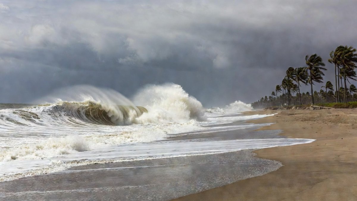
What This Means for Mexican Communities
For ordinary Mexican families, from the fishing villages of Baja California Sur to the farming communities of Michoacán and the bustling colonias of Guadalajara, this week's weather demands attention and preparation. The most immediate concern is the risk of flash flooding in urban and rural areas alike. The SMN and Protección Civil have issued clear guidance: do not attempt to cross rivers, streams, or flooded zones, as water levels can rise rapidly and currents can be deceptively strong. Coastal communities face a different set of dangers. The large and powerful surf generated by Iselle's swell will create life-threatening rip current conditions along the west coast of the Baja California Peninsula. Swimmers, surfers, and beachgoers should heed all warnings and avoid entering the water until conditions subside. For fishermen and those who depend on the sea for their livelihood, the coming days may mean lost work, and it is crucial to prioritize safety over economic necessity. The broader context of this weather event is the 2026 Pacific hurricane season, which has already been exceptionally active. According to the Wikipedia record of the season, there have been 12 tropical depressions, 11 named storms, 3 hurricanes, and 2 major hurricanes so far. The strongest storm has been Hurricane Genevieve, which reached 160 mph (260 km/h) with a minimum pressure of 925 mbar. The season's Accumulated Cyclone Energy (ACE) stands at 80.8, a figure that reflects the intensity and duration of these storms. This activity is consistent with the NOAA El Niño Advisory issued in August 2026, which indicates that a historic El Niño is strengthening. El Niño conditions historically enhance eastern Pacific tropical activity and bring wetter, stormier conditions to Mexico. For campesinos and farmers, this can mean both relief from drought and the risk of crop damage from excessive rain. For families in coastal colonias, it means a heightened state of readiness throughout the season. As the week progresses, the SMN and CONAGUA will continue to provide updates on the three systems. The situation is fluid, and forecasts can change. What remains constant is the resilience of Mexican communities, who have long learned to live with the rhythms of the Pacific and the skies above. By staying informed, heeding official warnings, and looking out for one another, families across the nation can weather this storm together.This article was produced with AI-assisted research and editorial support. Sources: Mexico News Daily, Servicio Meteorológico Nacional (SMN), CONAGUA, U.S. National Hurricane Center (NHC), Azteca Noticias.
By Rosa Martinez, Staff Writer
What's Your Reaction?
 Like
0
Like
0
 Dislike
0
Dislike
0
 Love
0
Love
0
 Funny
0
Funny
0
 Wow
0
Wow
0
 Sad
0
Sad
0
 Angry
0
Angry
0

Rosa Martinez
Latin America/Andes Correspondent at Global1.News. Based in Bogota, covering politics, environment, energy, and social movements across the Andean region. Passionate about environmental journalism and communities protecting their land.















Comments (0)