
Typhoon Champi Shuts Taiwan's Schools and Bears Down on Okinawa's Outermost Islands
Typhoon Champi has closed schools and offices across most of Taiwan as the very strong storm bears down on Japan's Sakishima Islands, with more than 200 flights cancelled and a US-Japan military exercise scaled back.
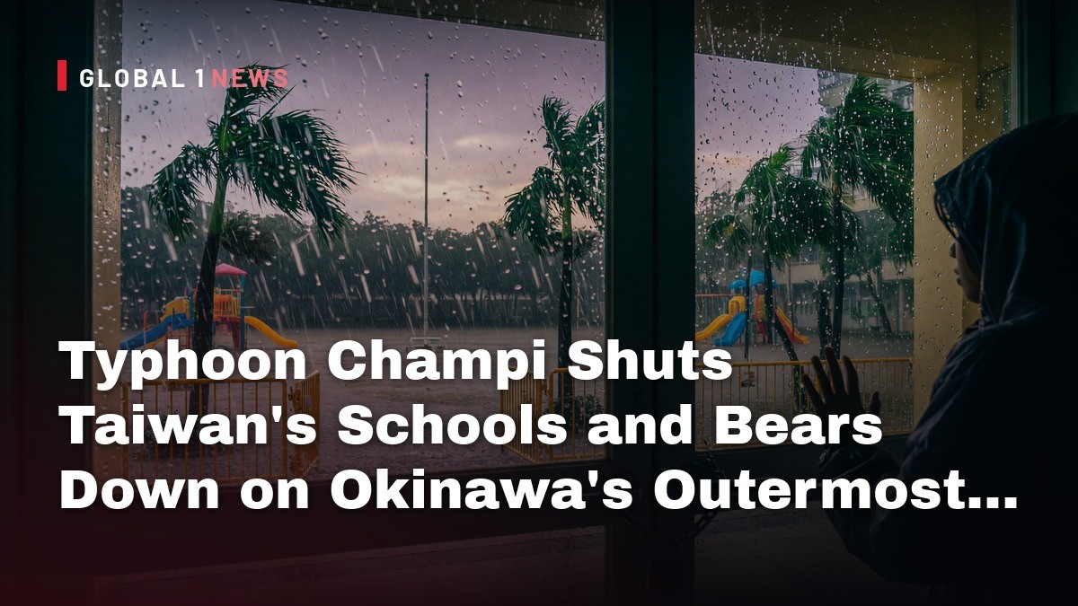
Typhoon Champi, the 30th named storm of 2026, is holding "very strong" intensity as it tracks north-west toward the gap between Taiwan and Okinawa's Sakishima Islands. Taiwan has shut schools and offices across most of the main island for Friday. Japan's Meteorological Agency says gusts could topple houses in the Yaeyama region.
Typhoon Champi Shuts Taiwan's Schools and Bears Down on Okinawa's Outermost Islands
Taipei, Taiwan – 23 October 2026 — Taiwan's Central Weather Administration has a land warning in force across the main island and forecasts the centre to come within 80 km of the coast from late Friday night into early Saturday, with landfall still possible. The storm has already cancelled more than 200 flights in the region and forced changes to a major US-Japan military exercise, Reuters reported. In Yilan County, a worker swept off a port by high waves on Wednesday is still missing.
Where Champi Is Right Now
The Japan Meteorological Agency's 03:00 JST Friday analysis puts the centre at 21.9 degrees north, 124.3 degrees east, moving north-west at 15 km/h. Central pressure is 950 hPa, maximum sustained wind 45 m/s, maximum gust 60 m/s. The agency rates the storm "very strong" in intensity and "large" in size. Its storm area, where winds reach 25 m/s or more, extends 330 km to the north-west and 280 km to the south-east. The gale area, at 15 m/s or more, reaches 850 km north and 650 km south. JMA's forecast track from that analysis takes the centre to 955 hPa by 09:00 JST Friday, 970 hPa by 21:00 JST Friday, and 975 hPa by 03:00 JST Saturday. By 03:00 JST Sunday 25 October the agency projects 985 hPa near 28.6 north, 123.7 east. Jiji Press reported the storm was over waters south of the Sakishima Islands on Thursday afternoon and is expected to pass between Okinawa and Taiwan on Friday afternoon.
Taiwan Closes Schools and Offices Across Most of the Island
Local governments across Taiwan's main island will close schools and offices on Friday, Focus Taiwan reported. Every county and city from Keelung and Taipei south through Taoyuan, Hsinchu, Miaoli, Taichung, Changhua, Nantou, Yunlin, Chiayi, Tainan, Kaohsiung, Yilan, Hualien and Pingtung announced closures, along with the outlying islands of Penghu and Matsu. Taitung County closed only Lanyu and Green Island. Kinmen County will operate as usual. As of 5 p.m. Thursday the centre sat about 450 km east of Eluanbi, Taiwan's southernmost point, moving north-west at 18 km/h with maximum sustained winds of 48 m/s near the centre. The radius of Beaufort 7 winds or higher was 320 km, and Beaufort 10 or higher 160 km. Wu Wan-hua, deputy director of the Central Weather Administration's Weather Forecast Center, said the typhoon is expected to move slowly on Friday and Saturday and could move erratically as it approaches. The heaviest rain is forecast from Friday through Saturday morning.

A Missing Worker and Four Rescued at Sea
NHK WORLD-JAPAN reported that a person in a car doing repairs at a port in Suao, in the north-eastern county of Yilan, was swept away by high waves on Wednesday and remains missing. Also on Wednesday, strong winds and high waves caused four workers to fall into the sea at a port in the eastern county of Hualien. Coast guard authorities rushed to the scene in response to an emergency call and rescued all four. No deaths or injuries from the typhoon have been confirmed in Taiwan or Japan. President William Lai urged the public not to underestimate the storm even if it does not make landfall, the Taipei Times reported. The Executive Yuan's disaster response office called on central and local authorities to prepare for heavy rain, flooding, landslides, strong winds and dangerous waves. NHK reported rain and winds intensifying mainly in northern Taiwan, with waves reaching over 6 meters.
Okinawa's Outermost Islands: Warnings Before the Wind
The Okinawa Meteorological Observatory expects the Ishigaki island area to enter the storm area by the morning of 23 October, and the Miyako and Yonaguni island areas before noon that day, the Okinawa Times reported. The observatory warned of winds violent enough to destroy some houses and called for strict vigilance against violent winds, heavy rain, high waves with swell, and landslides. Storm warnings were scheduled for the Ishigaki area late on the night of 22 October, the Miyako area in the early hours of 23 October, and the Yonaguni area at dawn on 23 October. Expected maximum gusts in the Yaeyama region reach 60 m/s on 23 October. At an emergency briefing on 22 October, a Japan Meteorological Agency official warned that once the violent winds arrive, evacuating becomes more dangerous rather than safer. "We want people to take evacuation action before the violent winds begin," the official said. Okinawa Prefecture has set up a disaster response headquarters, RBC Ryukyu Broadcasting reported, and Ishigaki Island was already seeing stronger rain and wind. Ishigaki Airport had already recorded a maximum instantaneous gust of 28.3 m/s, FNN reported.
The Rainfall and Wave Numbers Behind the Warnings
Jiji Press reported 24-hour rainfall in the Sakishima Islands predicted to reach 200 mm by 6 p.m. Friday and 150 mm by 6 p.m. Saturday, with the Yaeyama region facing strong winds that could damage residential buildings. Nippon TV NEWS 24 forecast maximum instantaneous wind speeds of 55 m/s and waves as high as 11 m between 23 and 24 October, with rainfall reaching 300 mm. The Okinawa Times reported warning-level heavy rain expected in the Yaeyama region from 23 to 24 October and in the Miyako island area on 23 October, with the Okinawa main island possibly seeing warning-level rain from the afternoon of 22 October to dawn on 23 October depending on cloud development. Plattformamedia reported the Okinawa main island at lower risk, with waves above six metres and a possible warning-level storm surge. NHK WORLD-JAPAN reported rough seas around Okinawa and Kagoshima Prefecture's Amami region, and torrential rain falling across Okinawa Prefecture.
Flights Grounded, Ferries Cancelled, a Festival Called Off
The Okinawa Times reported 87 flights to and from Ishigaki, Miyako and elsewhere cancelled for 22 October. The Okinawa Passenger Ship Association counted 118 ferry services cancelled on 21 October and 138 set for cancellation on 22 October, mainly on Yaeyama routes. RBC Ryukyu Broadcasting reported at least 77 flights to and from Ishigaki and Miyako cancelled, affecting more than 6,800 people, and about 200 ferry services cancelled as of 9 a.m. The Ishigaki City and Yonaguni Town boards of education decided to close elementary and junior high schools on 23 October; Taketomi Town, Miyakojima City and Tarama Village were to decide on 22 October. The 50th Okinawa Industrial Festival, due to run Friday to Sunday and expecting hundreds of thousands of visitors, has been called off, the Japan Times reported. FNN reported a fireworks festival due in Ginowan Village from the weekend of 24 October was cancelled for visitor safety.
Keen Sword: 56,000 Troops and a Storm in the Training Area
Typhoon Champi is forcing US and Japanese commanders to scale back or cancel portions of Keen Sword, the exercise involving tens of thousands of troops across Japan, Stars and Stripes reported. Exercise commanders are adjusting activities daily as they monitor the storm's path, spokesman Maj. Ephesian Poinsette said by email. "Safety remains our absolute priority," he wrote. The exercise began Monday 19 October and runs through 29 October, with about 56,000 US and Japanese personnel and forces from seven partner nations training to defend Japan. Planned activities include the USS Theodore Roosevelt carrier strike group and Marine Corps air-defense and antiship missile systems. Poinsette said: "Due to the dynamic nature of the storm, specific schedule changes are being managed dynamically to balance safety and training objectives." Training on Tanegashima in Kagoshima Prefecture will continue on a smaller scale. A Japan Joint Staff spokesman said the typhoon had caused "no major impact" on the overall schedule, though an unspecified training activity on Okinawa was cancelled.

Why the Wind Numbers Do Not Agree
The wind figures in circulation do not match, because the Japan Meteorological Agency, Taiwan's Central Weather Administration, the US Joint Typhoon Warning Center and commercial forecasters each publish their own. The Japan Times reported on 21 October that JMA forecast maximum wind speeds of up to 216 kph and categorised Champi as a super typhoon, the strongest of its five-level system. Taiwan's Central Weather Administration said maximum sustained winds had weakened slightly to 209 kph from 216 kph, with the storm radius expected to expand to up to 300 km as it approached Taiwan, the Taipei Times reported. Stars and Stripes reported that at noon Wednesday the typhoon was about 600 miles south-east of Kadena Air Base with maximum sustained winds of about 178 mph and gusts reaching 218 mph, according to the Joint Typhoon Warning Center, which rated it "a Category 5-equivalent storm". Weathernews put peak intensity at 900 hPa with sustained winds of 115 kt, or 215 km/h, and gusts of 165 kt, or 305 km/h. JMA's own 03:00 JST Friday figure is 45 m/s sustained, 60 m/s gust.
A Record Thirty Storms, and the Damage Already Done
Champi is Japan's 30th named storm of 2026, the Japan Times reported. Reaching 30 in a year is rare for Japan, which averages 25, meaning 2026 has already seen 20 percent more than the average. Weathernews reported the count reaching 30 for the first time since 2013, 13 years, and the 16th occurrence since statistics began in 1951, with the formation of No. 30 the fourth earliest on record. The Seoul Economic Daily, citing the Korea Meteorological Administration, reported it is the first time since 2013, when 31 typhoons formed, that more than 30 have developed in a single year, with August alone producing 10 storms, a monthly record. That report noted Typhoon Dujuan struck eastern Japan on 21-22 September, killing 12 people and leaving three missing, with 832 mm of rain in 48 hours in Oshima, Chiba Prefecture, and four levees collapsing in the prefecture. Typhoon Jangmi hit the Tokyo area in June, forcing more than 370,000 people to evacuate.
Kyushu Next, and a Drought That Wants the Rain
FNN reported the latest track forecast shows the typhoon curving sharply in a "ku" shape after approaching the Okinawa area, with a possible Kyushu landfall as early as 25 or 26 October. JMA projects the centre at 996 hPa near 32.5 north, 129.1 east by 03:00 JST on Monday 26 October. FNN reported the agency said Tokai and Kanto-Koshin could see high rainfall depending on the track, with warning-level heavy rain possible in Kanto-Koshin from 26 October. At the Shimajigawa Dam in Yamaguchi Prefecture, storage stood at 36.2 percent on 22 October, about 16 metres below full, with no substantial rainfall since July. Yoshihiko Komatsu, deputy director of the MLIT Yamaguchi River and National Highway Office, said: "The typhoon is forecast this time, so it would be good if the water level rises somewhat. Conversely, if it does not rain with this typhoon, the sense of crisis will increase to the point of being the worst on record."
By Jessica Ali, Staff Writer
This article was produced with AI-assisted research and editorial support. Sources: Japan Meteorological Agency, Jiji Press, NHK WORLD-JAPAN, Nippon TV NEWS 24, Okinawa Times, RBC Ryukyu Broadcasting, FNN, Plattformamedia, Focus Taiwan (CNA), Taipei Times, Reuters, Stars and Stripes, Weathernews, Japan Times, Seoul Economic Daily. Photographs: satellite imagery published by Taiwan's Central News Agency via Focus Taiwan; shoppers in Taipei's Beitou District photographed for CNA via the Taipei Times; a CH-53 Sea Stallion at Marine Corps Air Station Futenma, Okinawa, on 20 October 2026, by Ryan M. Breeden/Stars and Stripes.
What's Your Reaction?
 Like
0
 Dislike
0
 Love
0
 Funny
0
 Wow
0
 Sad
0
 Angry
0

Editor-in-Chief at Global1.News. Atlanta-based journalist who cuts through the BS and tells it like it is. Lead anchor, host, and the voice you hear when the spin stops and the truth starts.














Comments (0)